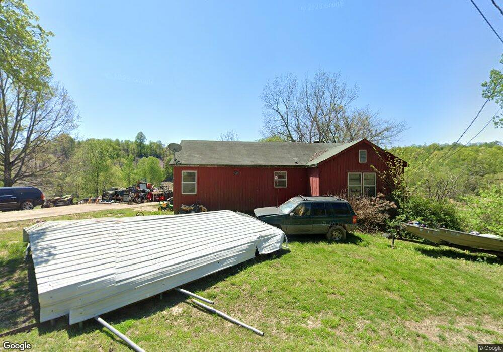
18231 State Route 59 W Drummonds, TN 38023
Estimated Value: $124,000 - $193,000
--
Bed
1
Bath
1,280
Sq Ft
$128/Sq Ft
Est. Value
About This Home
This home is located at 18231 State Route 59 W, Drummonds, TN 38023 and is currently estimated at $164,089, approximately $128 per square foot. 18231 State Route 59 W is a home with nearby schools including Drummonds Elementary School, Munford Middle School, and Munford High School.
Ownership History
Date
Name
Owned For
Owner Type
Purchase Details
Closed on
Nov 4, 2002
Sold by
Winek Donald E
Bought by
Collins James T
Current Estimated Value
Home Financials for this Owner
Home Financials are based on the most recent Mortgage that was taken out on this home.
Original Mortgage
$77,000
Outstanding Balance
$32,038
Interest Rate
5.93%
Estimated Equity
$132,051
Purchase Details
Closed on
Feb 12, 2002
Bought by
Winek Donald E
Purchase Details
Closed on
Jul 20, 2001
Sold by
Weiss Arnold M Sub Trustee
Bought by
Secretary Of Housing & Urb
Purchase Details
Closed on
Sep 14, 1998
Sold by
Robert Ramsey
Bought by
Copeland Donald E
Purchase Details
Closed on
Apr 21, 1953
Bought by
Ramsey Robert and Ramsey Dorothy
Create a Home Valuation Report for This Property
The Home Valuation Report is an in-depth analysis detailing your home's value as well as a comparison with similar homes in the area
Home Values in the Area
Average Home Value in this Area
Purchase History
| Date | Buyer | Sale Price | Title Company |
|---|---|---|---|
| Collins James T | $74,800 | -- | |
| Winek Donald E | $52,500 | -- | |
| Secretary Of Housing & Urb | $63,300 | -- | |
| Copeland Donald E | $59,900 | -- | |
| Ramsey Robert | -- | -- |
Source: Public Records
Mortgage History
| Date | Status | Borrower | Loan Amount |
|---|---|---|---|
| Open | Ramsey Robert | $77,000 |
Source: Public Records
Tax History Compared to Growth
Tax History
| Year | Tax Paid | Tax Assessment Tax Assessment Total Assessment is a certain percentage of the fair market value that is determined by local assessors to be the total taxable value of land and additions on the property. | Land | Improvement |
|---|---|---|---|---|
| 2024 | $354 | $23,250 | $4,175 | $19,075 |
| 2023 | $354 | $23,250 | $4,175 | $19,075 |
| 2022 | $334 | $16,350 | $3,075 | $13,275 |
| 2021 | $421 | $16,350 | $3,075 | $13,275 |
| 2020 | $421 | $20,625 | $3,075 | $17,550 |
| 2019 | $333 | $13,775 | $2,825 | $10,950 |
| 2018 | $333 | $13,775 | $2,825 | $10,950 |
| 2017 | $333 | $13,775 | $2,825 | $10,950 |
| 2016 | $333 | $13,775 | $2,825 | $10,950 |
| 2015 | $333 | $13,775 | $2,825 | $10,950 |
| 2014 | $333 | $13,778 | $0 | $0 |
Source: Public Records
Map
Nearby Homes
- 59 Pryor Rd
- 0 Richardson Landing Rd Unit 10207422
- 0 Richardson Landing Rd Unit LotWP000 16969392
- 0 Richardson Landing Rd Unit 10161338
- 0 Dolan Rd Unit 10206733
- 630 Glen Springs Rd
- 05 Richardson Landing Rd
- 97 Richardson Lake Dr
- 2664 Glen Springs Rd
- 8539 Campground Rd
- 1323 Quito Drummonds Rd
- 30 Kight Rd
- 1739 Tate Rd
- 243 Morgan Way
- 52 Wilkinsville Rd
- 8508 Campground Rd
- 0000 Bowers Rd
- 3285 Munford Giltedge Rd
- 3053 Drummonds Rd
- 5391 Simmons Rd
- 18360 State Route 59 W
- 18172 State Route 59 W
- 18024 State Route 59 W
- 18232 State Route 59 W
- 17993 Highway 59
- 18430 State Route 59 W
- 17986 State Route 59 W
- 17972 State Route 59 W
- 18658 State Route 59 W
- 18630 State Route 59 W
- 17986 Hwy 59 W
- 18796 State Route 59 W
- 425 Washington Rd
- 400 Washington Rd
- 386 Washington Rd
- 339 Washington Rd
- 296 Washington Rd
- 315 Washington Rd
- 280 Washington Rd
- 9660 Richardson Landing Rd