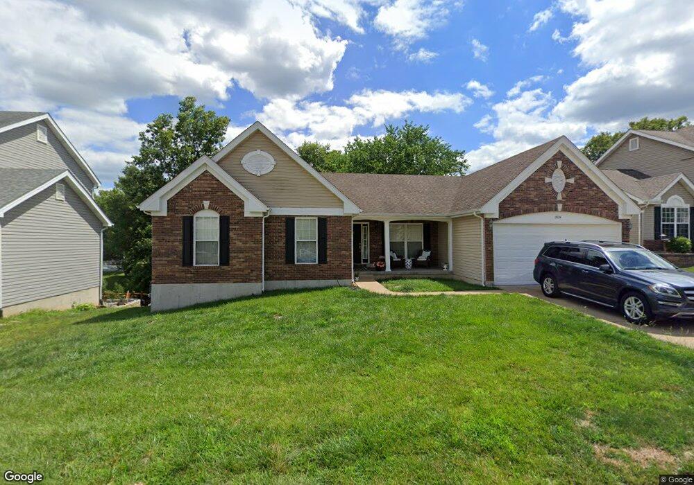
1824 Cairo Dr Festus, MO 63028
Festus/Crystal City NeighborhoodEstimated Value: $369,828 - $399,000
--
Bed
--
Bath
1,954
Sq Ft
$196/Sq Ft
Est. Value
About This Home
This home is located at 1824 Cairo Dr, Festus, MO 63028 and is currently estimated at $382,957, approximately $195 per square foot. 1824 Cairo Dr is a home located in Jefferson County with nearby schools including Festus Intermediate School, Festus Elementary School, and Festus Middle School.
Ownership History
Date
Name
Owned For
Owner Type
Purchase Details
Closed on
Apr 26, 2005
Sold by
J Ridge Corp
Bought by
Readenour Shawn E and Readenour Teresa L
Current Estimated Value
Home Financials for this Owner
Home Financials are based on the most recent Mortgage that was taken out on this home.
Original Mortgage
$160,000
Interest Rate
5.93%
Mortgage Type
Fannie Mae Freddie Mac
Create a Home Valuation Report for This Property
The Home Valuation Report is an in-depth analysis detailing your home's value as well as a comparison with similar homes in the area
Home Values in the Area
Average Home Value in this Area
Purchase History
| Date | Buyer | Sale Price | Title Company |
|---|---|---|---|
| Readenour Shawn E | -- | U S Title Guaranty Company |
Source: Public Records
Mortgage History
| Date | Status | Borrower | Loan Amount |
|---|---|---|---|
| Closed | Readenour Shawn E | $160,000 |
Source: Public Records
Tax History Compared to Growth
Tax History
| Year | Tax Paid | Tax Assessment Tax Assessment Total Assessment is a certain percentage of the fair market value that is determined by local assessors to be the total taxable value of land and additions on the property. | Land | Improvement |
|---|---|---|---|---|
| 2025 | $2,463 | $46,600 | $7,000 | $39,600 |
| 2024 | $2,463 | $43,500 | $7,000 | $36,500 |
| 2023 | $2,463 | $43,500 | $7,000 | $36,500 |
| 2022 | $2,450 | $43,500 | $7,000 | $36,500 |
| 2021 | $2,481 | $43,500 | $7,000 | $36,500 |
| 2020 | $2,350 | $38,600 | $6,100 | $32,500 |
| 2019 | $2,349 | $38,600 | $6,100 | $32,500 |
| 2018 | $2,121 | $38,600 | $6,100 | $32,500 |
| 2017 | $2,121 | $38,600 | $6,100 | $32,500 |
| 2016 | $1,979 | $35,800 | $6,000 | $29,800 |
| 2015 | $1,968 | $35,800 | $6,000 | $29,800 |
| 2013 | -- | $35,500 | $6,000 | $29,500 |
Source: Public Records
Map
Nearby Homes
- 1808 Hawk Pointe Dr
- 1926 Belmont Dr
- 1807 Orchard Ln
- 0 Bailey School Rd
- 0 Tbb Birchwood Overlook-Dogwood Unit MAR24022693
- 0
- 0 Tbb Birchwood Overlook - Maple
- 2303 Garden Ln
- 2324 Garden Ln
- 0 Tbb Birchwood Overlook Birchwo Unit MAR24022701
- 0 28 72 + - Ac Horine Rd Unit MAR24072684
- 0 Tbb Birchwood Overlook-Red Bud Unit MAR24022708
- 0 Tbb Birchwood Overlook-Redbudi Unit MAR24022702
- 0 Tbb Bichwood Overlook-Sycamore Unit MAR24022712
- 1876 W Main St
- 1852 W Main St
- 707 Jerome Dr
- 1325 Melvin Dr
- 1321 Melvin Dr
- 1415 Alexander Dr