1824 Harmon St Gilbert, SC 29054
Estimated Value: $1,426,000 - $1,607,000
5
Beds
4
Baths
4,145
Sq Ft
$371/Sq Ft
Est. Value
About This Home
This home is located at 1824 Harmon St, Gilbert, SC 29054 and is currently estimated at $1,537,683, approximately $370 per square foot. 1824 Harmon St is a home located in Lexington County with nearby schools including Centerville Elementary School, Gilbert Middle School, and Gilbert High School.
Ownership History
Date
Name
Owned For
Owner Type
Purchase Details
Closed on
Nov 13, 2020
Sold by
Rettig Jesse and Simon Kathryn A
Bought by
Vanwinter Scott and Vanwinter Gail
Current Estimated Value
Home Financials for this Owner
Home Financials are based on the most recent Mortgage that was taken out on this home.
Original Mortgage
$693,750
Outstanding Balance
$617,339
Interest Rate
2.8%
Mortgage Type
New Conventional
Estimated Equity
$920,344
Purchase Details
Closed on
Sep 1, 2004
Sold by
Derrick E Rene and Derrick Betty B
Bought by
Rettig Jesse and Simon Kathryn A
Create a Home Valuation Report for This Property
The Home Valuation Report is an in-depth analysis detailing your home's value as well as a comparison with similar homes in the area
Home Values in the Area
Average Home Value in this Area
Purchase History
| Date | Buyer | Sale Price | Title Company |
|---|---|---|---|
| Vanwinter Scott | $925,000 | None Available | |
| Rettig Jesse | $505,000 | -- |
Source: Public Records
Mortgage History
| Date | Status | Borrower | Loan Amount |
|---|---|---|---|
| Open | Vanwinter Scott | $693,750 |
Source: Public Records
Tax History
| Year | Tax Paid | Tax Assessment Tax Assessment Total Assessment is a certain percentage of the fair market value that is determined by local assessors to be the total taxable value of land and additions on the property. | Land | Improvement |
|---|---|---|---|---|
| 2024 | $5,630 | $39,708 | $14,400 | $25,308 |
| 2023 | $5,930 | $36,920 | $14,400 | $22,520 |
| 2022 | $5,497 | $36,920 | $14,400 | $22,520 |
| 2020 | $3,551 | $25,955 | $14,400 | $11,555 |
| 2019 | $3,408 | $24,622 | $13,440 | $11,182 |
| 2018 | $3,347 | $24,622 | $13,440 | $11,182 |
| 2017 | $3,239 | $24,622 | $13,440 | $11,182 |
| 2016 | $3,219 | $24,621 | $13,440 | $11,181 |
| 2014 | $2,910 | $23,451 | $11,814 | $11,637 |
| 2013 | -- | $23,450 | $11,810 | $11,640 |
Source: Public Records
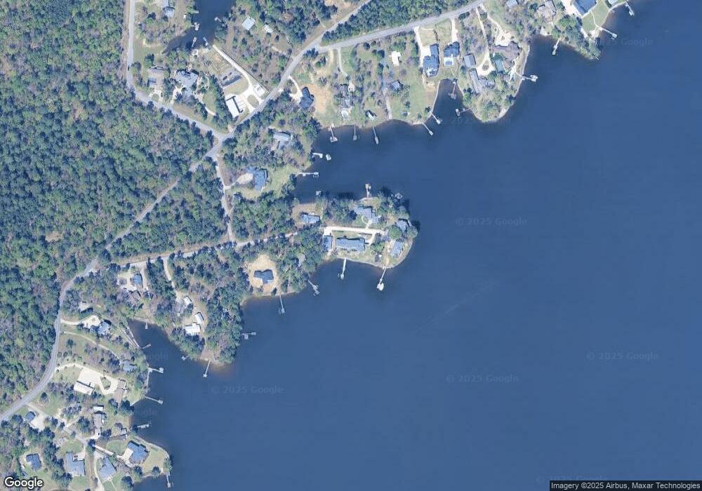
Map
Nearby Homes
- 180 Lillian St
- 1633 Barracks Dr
- 1459 Bombing Range Rd
- 1233 Shull Island Rd
- 1148 Shull Island Rd
- 1305 Rock Island Rd
- 417 Dot Ct
- 102 Royal Ct
- 157 Collins Cove Dr
- 604 Wisteria Key Place
- 115 Pointe Overlook Dr
- 1148 Indian Summer Point
- 249 Pointe Overlook Dr
- 120 Magnolia Key Dr
- 131 W Circle Dr
- 0 Counts Ferry Rd Unit LOT 5
- 0 Counts Ferry Rd Unit LOT 6
- 0 Counts Ferry Rd Unit LOT 4
- 0 Counts Ferry Rd Unit LOT 2
- 0 Counts Ferry Rd Unit LOT 7
- 1825 Harmon St
- 1830 Harmon St
- 1808 Harmon St
- 1812 Harmon St
- 1831 Harmon St
- 1721 Amanda Dr
- 1808 Shull Ave
- 1722 Harmon St
- 1902 Amick Dr
- 1820 Shull Ave
- 1912 Amick Dr
- 1928 Amick Dr
- 1920 Amick Dr
- 1920 Amick Dr
- 1924 Amick Dr
- 1706 Harmon St
- 1811 Shull Ave
- 1803 Shull Ave
- 0 Shull Ave Unit 528845
- 0 Shull Ave Unit 2/2A
Your Personal Tour Guide
Ask me questions while you tour the home.