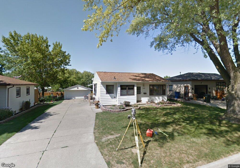
1824 Maynard Ave Waterloo, IA 50701
Estimated Value: $141,000 - $179,000
2
Beds
1
Bath
848
Sq Ft
$188/Sq Ft
Est. Value
About This Home
This home is located at 1824 Maynard Ave, Waterloo, IA 50701 and is currently estimated at $159,366, approximately $187 per square foot. 1824 Maynard Ave is a home located in Black Hawk County with nearby schools including Becker Elementary School, Central Middle School, and East High School.
Ownership History
Date
Name
Owned For
Owner Type
Purchase Details
Closed on
Mar 16, 2007
Sold by
Penne Joan G
Bought by
Wyant Malissa A and Jurries Richard T
Current Estimated Value
Home Financials for this Owner
Home Financials are based on the most recent Mortgage that was taken out on this home.
Original Mortgage
$81,400
Interest Rate
5.2%
Mortgage Type
FHA
Create a Home Valuation Report for This Property
The Home Valuation Report is an in-depth analysis detailing your home's value as well as a comparison with similar homes in the area
Purchase History
| Date | Buyer | Sale Price | Title Company |
|---|---|---|---|
| Wyant Malissa A | $85,000 | None Available |
Source: Public Records
Mortgage History
| Date | Status | Borrower | Loan Amount |
|---|---|---|---|
| Previous Owner | Wyant Malissa A | $81,400 |
Source: Public Records
Tax History
| Year | Tax Paid | Tax Assessment Tax Assessment Total Assessment is a certain percentage of the fair market value that is determined by local assessors to be the total taxable value of land and additions on the property. | Land | Improvement |
|---|---|---|---|---|
| 2025 | $2,764 | $152,110 | $22,790 | $129,320 |
| 2024 | $2,764 | $137,640 | $22,790 | $114,850 |
| 2023 | $2,362 | $137,640 | $22,790 | $114,850 |
| 2022 | $2,298 | $116,410 | $22,790 | $93,620 |
| 2021 | $2,166 | $116,410 | $22,790 | $93,620 |
| 2020 | $2,126 | $104,250 | $17,900 | $86,350 |
| 2019 | $2,126 | $104,250 | $17,900 | $86,350 |
| 2018 | $2,106 | $104,250 | $17,900 | $86,350 |
| 2017 | $2,106 | $103,180 | $17,900 | $85,280 |
| 2016 | $2,062 | $99,570 | $17,900 | $81,670 |
| 2015 | $2,062 | $99,570 | $17,900 | $81,670 |
| 2014 | $2,002 | $95,270 | $17,900 | $77,370 |
Source: Public Records
Map
Nearby Homes
- 320 Valley Rd
- 412 Hughes Dr
- 1906 Coachman Dr
- 600 Beverly Hills St
- 425 Auburn St
- 211 Auburn St
- 0 Bergen Dr
- 114 Hanna Blvd
- 1434 Rainbow Dr
- 301 S Hackett Rd
- 819 Hanna Blvd
- 1712 Rainbow Dr
- 2117 Tilbury Rd
- 2009 Wembley Rd
- 1811 Sager Ave
- 2.29 Acres Ansborough Ave
- 712 Upton Ave
- 645 Dundee Ave
- 456 Loma St
- 1114 Eleanor Dr
- 1818 Maynard Ave
- 1900 Maynard Ave
- 1910 Maynard Ave
- 313 Valley Rd
- 402 Wheeler Dr
- 1916 Maynard Ave
- 1817 Maynard Ave
- 303 Valley Rd
- 1922 Maynard Ave
- 402 Beverly Hill St
- 411 Wheeler Dr
- 251 Valley Rd
- 1917 Maynard Ave
- 410 Wheeler Dr
- 410 Beverly Hill St
- 419 Valley Dr
- 401 Beverly Hill St
- 245 Valley Rd
- 419 Wheeler Dr
- 418 Wheeler Dr
Your Personal Tour Guide
Ask me questions while you tour the home.