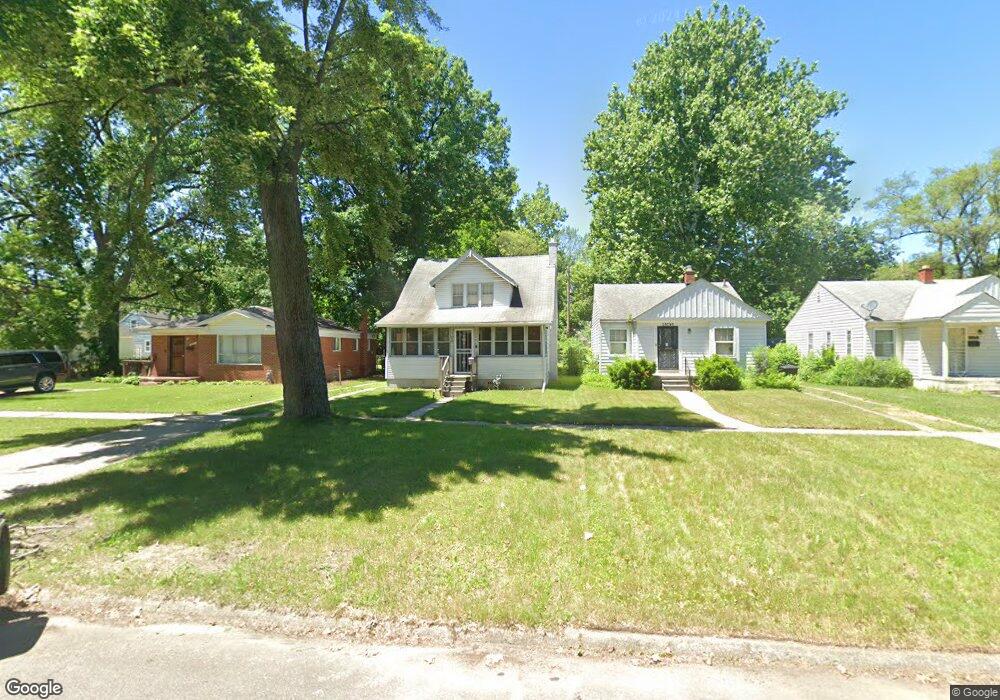
18241 Forrer St Detroit, MI 48235
College Park NeighborhoodEstimated Value: $80,000 - $152,000
--
Bed
2
Baths
1,414
Sq Ft
$82/Sq Ft
Est. Value
About This Home
This home is located at 18241 Forrer St, Detroit, MI 48235 and is currently estimated at $115,371, approximately $81 per square foot. 18241 Forrer St is a home located in Wayne County with nearby schools including John R. King Academic And Performing Arts Academy, Charles L. Spain Elementary-Middle School, and Edward 'Duke' Ellington Conservatory of Music and Art.
Ownership History
Date
Name
Owned For
Owner Type
Purchase Details
Closed on
Jul 21, 2017
Sold by
Detorit Land Bank Authorty
Bought by
Campos Nieto Alexandro
Current Estimated Value
Purchase Details
Closed on
Jan 6, 2015
Sold by
Wayne County Treasurer
Bought by
Detroit Land Bank Authority
Purchase Details
Closed on
Sep 21, 2006
Sold by
Hud
Bought by
Terrell Tyra
Purchase Details
Closed on
Mar 3, 2006
Sold by
Bank Of New York
Bought by
Hud
Purchase Details
Closed on
Aug 3, 2005
Sold by
Muhammad Kwame
Bought by
Bank Of New York and Cwmbs Series 2004-R1
Purchase Details
Closed on
Sep 15, 2004
Sold by
Muhammad Kwame
Bought by
Bank Of New York and Cwmbs Series 2004-R1
Create a Home Valuation Report for This Property
The Home Valuation Report is an in-depth analysis detailing your home's value as well as a comparison with similar homes in the area
Home Values in the Area
Average Home Value in this Area
Purchase History
| Date | Buyer | Sale Price | Title Company |
|---|---|---|---|
| Campos Nieto Alexandro | -- | None Available | |
| Detroit Land Bank Authority | -- | None Available | |
| Terrell Tyra | $44,500 | None Available | |
| Hud | -- | None Available | |
| Bank Of New York | $89,377 | -- | |
| Bank Of New York | $88,510 | -- |
Source: Public Records
Tax History Compared to Growth
Tax History
| Year | Tax Paid | Tax Assessment Tax Assessment Total Assessment is a certain percentage of the fair market value that is determined by local assessors to be the total taxable value of land and additions on the property. | Land | Improvement |
|---|---|---|---|---|
| 2025 | $934 | $42,000 | $0 | $0 |
| 2024 | $934 | $36,500 | $0 | $0 |
| 2023 | $905 | $29,200 | $0 | $0 |
| 2022 | $864 | $21,700 | $0 | $0 |
| 2021 | $864 | $17,300 | $0 | $0 |
| 2020 | $1,136 | $15,000 | $0 | $0 |
| 2019 | $1,431 | $11,900 | $0 | $0 |
| 2018 | $987 | $9,700 | $0 | $0 |
| 2017 | $960 | $0 | $0 | $0 |
| 2016 | $240 | $9,600 | $0 | $0 |
| 2015 | $960 | $9,600 | $0 | $0 |
| 2013 | $1,348 | $13,484 | $0 | $0 |
| 2010 | -- | $19,320 | $855 | $18,465 |
Source: Public Records
Map
Nearby Homes
- 15641 Pickford St
- 15900 Curtis St
- 18400 Rutherford St
- 18460 Winthrop St
- 18230 Saint Marys St
- 18210 Saint Marys St
- 15626 Thatcher St
- 18666 Forrer St
- 18699 Forrer St
- 18071 Saint Marys St
- 18717 Winthrop St
- 18514 Prest St
- 7266 W Outer Dr
- 18514 Whitcomb St
- 18411 Asbury Park
- 7275 W Outer Dr
- 18943 Mansfield St
- 18413 Ferguson St
- 18700 Whitcomb St
- 17360 Mansfield St
- 18249 Forrer St
- 18231 Forrer St
- 18257 Forrer St
- 18261 Forrer St
- 15820 Curtis St
- 18273 Forrer St
- 18230 Prevost St
- 18250 Prevost St
- 15830 Curtis St
- 18256 Prevost St
- 15840 Curtis St
- 18281 Forrer St
- 18264 Prevost St
- 15846 Curtis St
- 18272 Prevost St Unit Bldg-Unit
- 18272 Prevost St
- 18289 Forrer St
- 18232 Forrer St
- 15650 Curtis St
- 15858 Curtis St