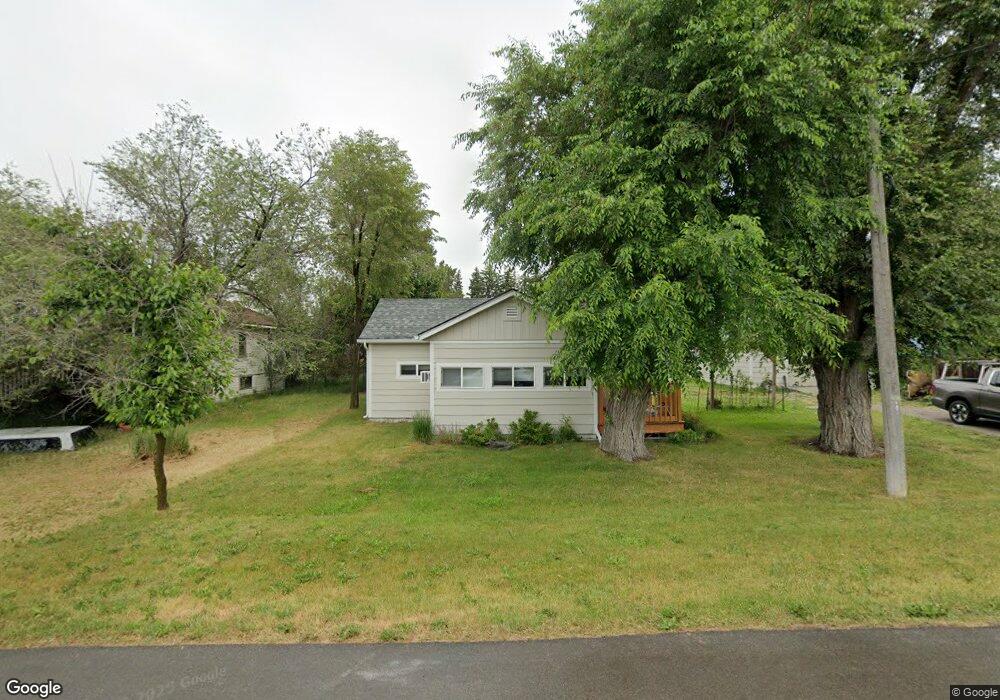
1825 5th Ave E Kalispell, MT 59901
Estimated Value: $390,000 - $464,000
4
Beds
1
Bath
2,451
Sq Ft
$172/Sq Ft
Est. Value
About This Home
This home is located at 1825 5th Ave E, Kalispell, MT 59901 and is currently estimated at $421,109, approximately $171 per square foot. 1825 5th Ave E is a home located in Flathead County with nearby schools including Cornelius Hedges School, Kalispell Middle School, and Flathead High School.
Ownership History
Date
Name
Owned For
Owner Type
Purchase Details
Closed on
Sep 30, 2021
Sold by
Rahn Robert K and Rahn Tericita E
Bought by
Rahn Robert K
Current Estimated Value
Purchase Details
Closed on
Apr 14, 2012
Sold by
Whiting Catherine L
Bought by
Koistinen Ryan and Koistinen Amanda
Home Financials for this Owner
Home Financials are based on the most recent Mortgage that was taken out on this home.
Original Mortgage
$193,325
Interest Rate
3%
Mortgage Type
FHA
Create a Home Valuation Report for This Property
The Home Valuation Report is an in-depth analysis detailing your home's value as well as a comparison with similar homes in the area
Purchase History
| Date | Buyer | Sale Price | Title Company |
|---|---|---|---|
| Rahn Robert K | -- | None Available | |
| Koistinen Ryan | -- | Alliance Title & Escrow Corp |
Source: Public Records
Mortgage History
| Date | Status | Borrower | Loan Amount |
|---|---|---|---|
| Previous Owner | Koistinen Ryan | $193,325 |
Source: Public Records
Tax History
| Year | Tax Paid | Tax Assessment Tax Assessment Total Assessment is a certain percentage of the fair market value that is determined by local assessors to be the total taxable value of land and additions on the property. | Land | Improvement |
|---|---|---|---|---|
| 2025 | $1,890 | $393,205 | $0 | $0 |
| 2024 | $2,340 | $300,435 | $0 | $0 |
| 2023 | $3,174 | $300,435 | $0 | $0 |
| 2022 | $3,211 | $230,985 | $0 | $0 |
| 2021 | $3,186 | $230,985 | $0 | $0 |
| 2020 | $2,924 | $195,475 | $0 | $0 |
| 2019 | $2,922 | $195,475 | $0 | $0 |
| 2018 | $2,762 | $173,735 | $0 | $0 |
| 2017 | $1,821 | $173,735 | $0 | $0 |
| 2016 | $2,393 | $162,075 | $0 | $0 |
| 2015 | $2,384 | $162,075 | $0 | $0 |
| 2014 | $2,346 | $95,872 | $0 | $0 |
Source: Public Records
Map
Nearby Homes
- 1705 8th Ave E
- 1683 Bull Run
- 1403 & 1405 4th Ave E
- 1717 S Woodland Dr Unit SPC -21
- 305 Kelly Rd Unit F-22
- 1305 4th Ave E
- 1509 Eagle Dr
- 1312 2nd Ave E
- 1227 1st Ave E
- 1519 Woodland Ave
- 826 11th St E
- 1024 Woodland Ave
- 141 Beargrass Ln
- 51 Selders Ln
- 2455 Us Highway 93 S
- 209 12th St W
- 1971 Bluestone Dr
- 1814 N Belmar Dr
- 2253 Canvasback Ct
- 776 1st Ave E
- 1823 5th 5th Ave E
- 1903 5th Ave E
- 1823 5th Ave E
- 1907 5th Ave E
- 1828 5th Ave E
- 1826 5th Ave E
- 1824 5th Ave E
- 1822 5th Ave E
- 1902 5th Ave E
- 1908 5th Ave E
- 1804 5th Ave E
- 1829 5th Ave E
- 1909 5th Ave E
- 1802 5th Ave E
- 1911 5th Ave E
- 1802 1/2 18th St E
- 1715 5th Ave E
- 2005 5th Ave E
- 1995 5th Ave E
- 2002 5th Ave E
Your Personal Tour Guide
Ask me questions while you tour the home.