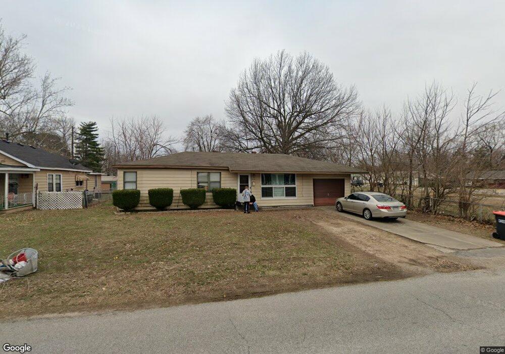
1825 McRay Ave Springdale, AR 72762
Estimated Value: $186,619 - $220,000
--
Bed
1
Bath
1,118
Sq Ft
$183/Sq Ft
Est. Value
About This Home
This home is located at 1825 McRay Ave, Springdale, AR 72762 and is currently estimated at $204,405, approximately $182 per square foot. 1825 McRay Ave is a home located in Washington County with nearby schools including Westwood Elementary School, Southwest Junior High School, and Helen Tyson Middle School.
Ownership History
Date
Name
Owned For
Owner Type
Purchase Details
Closed on
Sep 21, 2007
Sold by
Mccollum Geneva N
Bought by
Baker Dale L
Current Estimated Value
Purchase Details
Closed on
Oct 28, 1994
Bought by
Mccollum Geneva N
Purchase Details
Closed on
Feb 8, 1991
Bought by
Mcclung Ricky D
Purchase Details
Closed on
Jul 8, 1987
Bought by
Reddish John M
Purchase Details
Closed on
Jan 1, 1985
Bought by
Fink Ida
Create a Home Valuation Report for This Property
The Home Valuation Report is an in-depth analysis detailing your home's value as well as a comparison with similar homes in the area
Home Values in the Area
Average Home Value in this Area
Purchase History
| Date | Buyer | Sale Price | Title Company |
|---|---|---|---|
| Baker Dale L | -- | None Available | |
| Mccollum Geneva N | $60,000 | -- | |
| Mcclung Ricky D | -- | -- | |
| Reddish John M | -- | -- | |
| Fink Ida | -- | -- |
Source: Public Records
Tax History Compared to Growth
Tax History
| Year | Tax Paid | Tax Assessment Tax Assessment Total Assessment is a certain percentage of the fair market value that is determined by local assessors to be the total taxable value of land and additions on the property. | Land | Improvement |
|---|---|---|---|---|
| 2025 | -- | $31,720 | $12,750 | $18,970 |
| 2024 | $74 | $31,720 | $12,750 | $18,970 |
| 2023 | $161 | $31,720 | $12,750 | $18,970 |
| 2022 | $211 | $21,480 | $8,000 | $13,480 |
| 2021 | $211 | $21,480 | $8,000 | $13,480 |
| 2020 | $211 | $21,480 | $8,000 | $13,480 |
| 2019 | $211 | $11,110 | $2,250 | $8,860 |
| 2018 | $236 | $11,110 | $2,250 | $8,860 |
| 2017 | $230 | $11,110 | $2,250 | $8,860 |
| 2016 | $230 | $11,110 | $2,250 | $8,860 |
| 2015 | $230 | $11,110 | $2,250 | $8,860 |
| 2014 | $444 | $15,210 | $4,750 | $10,460 |
Source: Public Records
Map
Nearby Homes
- 504 Zachary St
- 508 Geneva St
- 506 Dyer St
- 614 Zachary St
- 126 Rogers Circle Dr
- 1325 Rogers Ave
- 702 S West End St
- 404 Henryetta St
- 2009 Emily Circle Dr Unit A
- 301 Michael St
- 510 Maria St
- 1807 Westwood Ave
- 713 Carlton St
- 604 Maria St
- 712 Carlton St
- 406 Michael St
- 706 Maria St
- 2003 Dee Ave
- 1611 Theodore Dr
- 2001 Pin Oak Dr