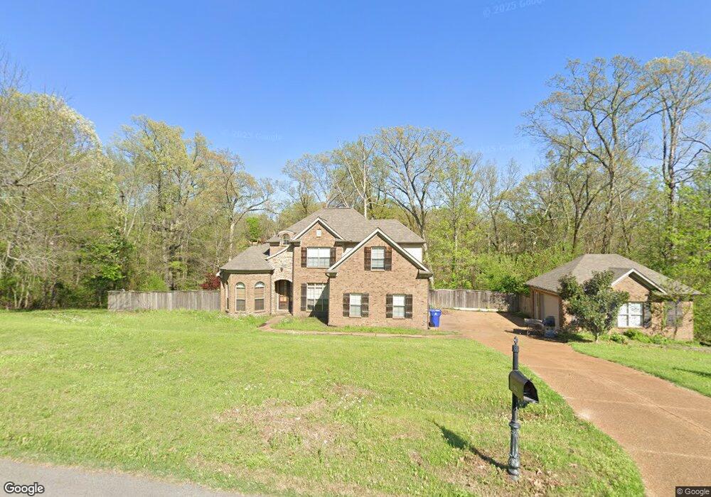
1826 Planters Rd Olive Branch, MS 38654
Lewisburg NeighborhoodEstimated Value: $362,000 - $427,000
5
Beds
3
Baths
2,603
Sq Ft
$152/Sq Ft
Est. Value
About This Home
This home is located at 1826 Planters Rd, Olive Branch, MS 38654 and is currently estimated at $396,102, approximately $152 per square foot. 1826 Planters Rd is a home located in DeSoto County with nearby schools including Lewisburg Primary School, Lewisburg Elementary School, and Lewisburg Middle School.
Ownership History
Date
Name
Owned For
Owner Type
Purchase Details
Closed on
Jun 26, 2008
Sold by
Burke Daniel H and Rymer Suzanne D
Bought by
Burns Michelle
Current Estimated Value
Home Financials for this Owner
Home Financials are based on the most recent Mortgage that was taken out on this home.
Original Mortgage
$216,195
Outstanding Balance
$138,694
Interest Rate
5.96%
Mortgage Type
FHA
Estimated Equity
$257,408
Create a Home Valuation Report for This Property
The Home Valuation Report is an in-depth analysis detailing your home's value as well as a comparison with similar homes in the area
Home Values in the Area
Average Home Value in this Area
Purchase History
| Date | Buyer | Sale Price | Title Company |
|---|---|---|---|
| Burns Michelle | -- | None Available |
Source: Public Records
Mortgage History
| Date | Status | Borrower | Loan Amount |
|---|---|---|---|
| Open | Burns Michelle | $216,195 | |
| Closed | Burns Michelle | $216,195 |
Source: Public Records
Tax History Compared to Growth
Tax History
| Year | Tax Paid | Tax Assessment Tax Assessment Total Assessment is a certain percentage of the fair market value that is determined by local assessors to be the total taxable value of land and additions on the property. | Land | Improvement |
|---|---|---|---|---|
| 2024 | $1,142 | $18,810 | $4,000 | $14,810 |
| 2023 | $1,142 | $18,810 | $0 | $0 |
| 2022 | $1,142 | $18,810 | $4,000 | $14,810 |
| 2021 | $1,142 | $18,810 | $4,000 | $14,810 |
| 2020 | $1,142 | $18,810 | $4,000 | $14,810 |
| 2019 | $1,142 | $18,810 | $4,000 | $14,810 |
| 2017 | $1,897 | $33,296 | $18,648 | $14,648 |
| 2016 | $1,897 | $18,648 | $4,000 | $14,648 |
| 2015 | $1,897 | $33,296 | $18,648 | $14,648 |
| 2014 | $1,897 | $18,648 | $0 | $0 |
| 2013 | $1,641 | $18,648 | $0 | $0 |
Source: Public Records
Map
Nearby Homes
- 7189 Bethel Rd
- 7072 Bethel Rd
- 7198 Harrier Dr E
- 6790 Farm Cove
- 6729 Farm Cove
- 5293 Borden Creek Dr
- 5291 Borden Creek Dr
- 1098 Broadwing Cir S
- 1115 Broadwing Cir S
- 1615 Highway 305 N
- 8785 Robertson Ln N
- 7019 Scarlet St
- 2763 Fall Spring Dr
- 8900 Elizabeth Cove
- 0 Woolsey Rd
- 2275 Highway 305 N
- 8279 Dunn Ln E
- 0 Bethel Rd Unit 4096893
- 0 Craft Rd Unit 4049969
- 9100 E Broadway Rd
- 1826 Planter's Dr
- 1860 Planters Rd
- 1784 Planters Rd
- 1784 Planter's Dr
- 1860 Planter's Dr
- 1845 Wood Lane Dr
- 1841 Planter's Dr
- 1811 Planter's Dr
- 1811 Planters Rd
- 1841 Planters Rd
- 9144 Planter's Dr
- 9301 Planter's Dr
- 9000 Planter's Dr
- 9085 Planter's Dr
- 30 Planter's Dr
- 29 Planter's Dr
- 7738 Sunset Ridge
- 1883 Wood Lane Dr
- 1875 Planter's Dr
- 1781 Planter's Dr