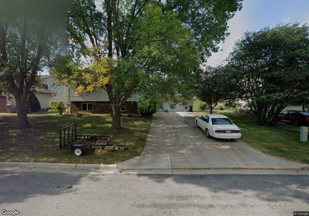
1827 Ashland Rd New Ulm, MN 56073
Estimated Value: $323,412 - $379,000
4
Beds
3
Baths
2,828
Sq Ft
$126/Sq Ft
Est. Value
About This Home
This home is located at 1827 Ashland Rd, New Ulm, MN 56073 and is currently estimated at $355,853, approximately $125 per square foot. 1827 Ashland Rd is a home located in Brown County with nearby schools including Washington Elementary School, Jefferson Elementary School, and New Ulm High School.
Ownership History
Date
Name
Owned For
Owner Type
Purchase Details
Closed on
Dec 15, 2014
Sold by
Christine Christine
Bought by
Iles Terry
Current Estimated Value
Purchase Details
Closed on
Sep 8, 2011
Sold by
Carrascolozano Martin and Munoz Elizabeth
Bought by
Iles Terry L and Iles Christine M
Home Financials for this Owner
Home Financials are based on the most recent Mortgage that was taken out on this home.
Original Mortgage
$181,000
Interest Rate
4.02%
Create a Home Valuation Report for This Property
The Home Valuation Report is an in-depth analysis detailing your home's value as well as a comparison with similar homes in the area
Home Values in the Area
Average Home Value in this Area
Purchase History
| Date | Buyer | Sale Price | Title Company |
|---|---|---|---|
| Iles Terry | -- | -- | |
| Iles Terry L | -- | Rels Title |
Source: Public Records
Mortgage History
| Date | Status | Borrower | Loan Amount |
|---|---|---|---|
| Previous Owner | Iles Terry L | $181,000 |
Source: Public Records
Tax History Compared to Growth
Tax History
| Year | Tax Paid | Tax Assessment Tax Assessment Total Assessment is a certain percentage of the fair market value that is determined by local assessors to be the total taxable value of land and additions on the property. | Land | Improvement |
|---|---|---|---|---|
| 2024 | $4,096 | $302,400 | $37,600 | $264,800 |
| 2023 | $4,096 | $303,700 | $37,600 | $266,100 |
| 2022 | $3,828 | $274,000 | $32,700 | $241,300 |
| 2021 | $3,882 | $240,000 | $32,700 | $207,300 |
| 2020 | $3,869 | $245,500 | $32,700 | $212,800 |
| 2019 | $3,783 | $243,300 | $32,700 | $210,600 |
| 2018 | $3,924 | $242,000 | $32,700 | $209,300 |
| 2017 | $3,377 | $225,800 | $32,700 | $193,100 |
| 2016 | $3,710 | $213,048 | $0 | $0 |
| 2015 | -- | $0 | $0 | $0 |
| 2014 | -- | $0 | $0 | $0 |
| 2013 | -- | $0 | $0 | $0 |
Source: Public Records
Map
Nearby Homes
- 1342 Birchwood Dr
- 1346 Birchwood Dr
- 1822 Ryan Rd
- 1526 N State St
- 915 N Payne St
- 2303 Lake Ave
- 2216 Lake Ave
- 2214 Lake Ave
- 2323 Lake Ave
- 2319 Lake Ave
- 1430 N 6th St
- 0 Tbd N 6th St Unit 7037960
- 0 Tbd N 6th St Unit 7037959
- 1023 N Spring St
- 623 N Broadway St
- 642 Haeberle Ave
- 0 Haeberle Ave Unit 7037255
- 0 Haeberle Ave Unit 7037259
- 0 Haeberle Ave Unit 7037249
- 0 Haeberle Ave Unit 7037263
- 1833 Ashland Rd
- 1815 Ashland Rd
- 1826 Turner Rd
- 1820 Turner Rd
- 1901 Ashland Rd
- 1832 Turner Rd
- 1826 Ashland Rd
- 1832 Ashland Rd
- 1820 Ashland Rd
- 1814 Turner Rd
- 1814 1814 Turner Rd
- 1814 Ashland Rd
- 1907 Ashland Rd
- 1900 Ashland Rd
- 1809 Ashland Rd
- 1908 Turner Rd
- 1806 Turner Rd
- 1910 Ashland Rd
- 1803 Ashland Rd
- 1827 Willow Rd