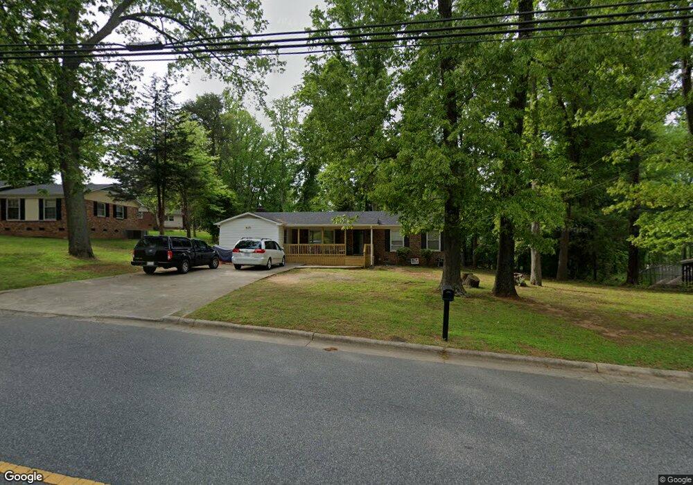
1827 Cedrow Dr High Point, NC 27260
Greater High Point NeighborhoodEstimated Value: $189,000 - $269,000
3
Beds
2
Baths
1,690
Sq Ft
$133/Sq Ft
Est. Value
About This Home
This home is located at 1827 Cedrow Dr, High Point, NC 27260 and is currently estimated at $224,174, approximately $132 per square foot. 1827 Cedrow Dr is a home located in Guilford County with nearby schools including Jamestown Elementary School, Southwest Guilford Middle School, and Southwest Guilford High School.
Ownership History
Date
Name
Owned For
Owner Type
Purchase Details
Closed on
Dec 10, 1999
Sold by
Purcell Sallie An and Purcell Alex
Bought by
Pabon Vonda Y
Current Estimated Value
Home Financials for this Owner
Home Financials are based on the most recent Mortgage that was taken out on this home.
Original Mortgage
$74,800
Interest Rate
7.85%
Mortgage Type
Balloon
Create a Home Valuation Report for This Property
The Home Valuation Report is an in-depth analysis detailing your home's value as well as a comparison with similar homes in the area
Home Values in the Area
Average Home Value in this Area
Purchase History
| Date | Buyer | Sale Price | Title Company |
|---|---|---|---|
| Pabon Vonda Y | $93,500 | -- |
Source: Public Records
Mortgage History
| Date | Status | Borrower | Loan Amount |
|---|---|---|---|
| Closed | Pabon Vonda Y | $74,800 | |
| Closed | Pabon Vonda Y | $18,700 |
Source: Public Records
Tax History
| Year | Tax Paid | Tax Assessment Tax Assessment Total Assessment is a certain percentage of the fair market value that is determined by local assessors to be the total taxable value of land and additions on the property. | Land | Improvement |
|---|---|---|---|---|
| 2025 | $2,082 | $151,100 | $25,000 | $126,100 |
| 2024 | $2,082 | $151,100 | $25,000 | $126,100 |
| 2023 | $2,082 | $151,100 | $25,000 | $126,100 |
| 2022 | $2,037 | $151,100 | $25,000 | $126,100 |
| 2021 | $1,277 | $92,700 | $13,000 | $79,700 |
| 2020 | $1,277 | $92,700 | $13,000 | $79,700 |
| 2019 | $1,277 | $92,700 | $0 | $0 |
| 2018 | $1,271 | $92,700 | $0 | $0 |
| 2017 | $1,271 | $92,700 | $0 | $0 |
| 2016 | $1,295 | $92,300 | $0 | $0 |
| 2015 | $1,301 | $92,300 | $0 | $0 |
| 2014 | $1,324 | $92,300 | $0 | $0 |
Source: Public Records
Map
Nearby Homes
- 120 Orville Dr
- 122 Orville Dr
- 3206 Crestview Dr
- 600 Hendrix St
- 1456 London Dr
- 615 Hendrix St
- 307 Brookview Cir
- 632 Wrenn Forest St
- 509 Valleybrook Dr
- 1451 Finsbury Ln
- 1227 Greensboro Rd
- 3408 Dillon Rd
- 735 Hendrix St
- 737 Hendrix St
- 301 Lindale Dr
- 113 Red Plum Ln
- 3903 Sudley Point
- 3335 Wiliton Way
- 306 Misty Waters Ln
- 206 Paramount St
Your Personal Tour Guide
Ask me questions while you tour the home.