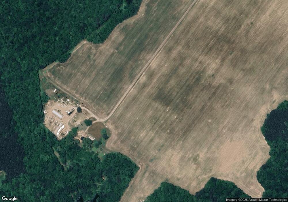
Estimated Value: $1,023,870
Studio
2
Baths
2,112
Sq Ft
$485/Sq Ft
Est. Value
About This Home
This home is located at 1827 Forge Rd, Toano, VA 23168 and is currently priced at $1,023,870, approximately $484 per square foot. 1827 Forge Rd is a home located in James City County with nearby schools including J. Blaine Blayton Elementary School, Toano Middle School, and Warhill High School.
Ownership History
Date
Name
Owned For
Owner Type
Purchase Details
Closed on
Dec 1, 2016
Sold by
White Dozier Charles
Bought by
Dozier Ralph Benjamin and Dozier Charles Norris
Current Estimated Value
Purchase Details
Closed on
Aug 22, 2016
Sold by
Caroline White Dozier Revocable Trust Ua
Bought by
Sink Mary Elizabeth
Create a Home Valuation Report for This Property
The Home Valuation Report is an in-depth analysis detailing your home's value as well as a comparison with similar homes in the area
Home Values in the Area
Average Home Value in this Area
Purchase History
| Date | Buyer | Sale Price | Title Company |
|---|---|---|---|
| Dozier Ralph Benjamin | -- | None Available | |
| Sink Mary Elizabeth | -- | None Available |
Source: Public Records
Tax History Compared to Growth
Tax History
| Year | Tax Paid | Tax Assessment Tax Assessment Total Assessment is a certain percentage of the fair market value that is determined by local assessors to be the total taxable value of land and additions on the property. | Land | Improvement |
|---|---|---|---|---|
| 2025 | $5,358 | $1,641,800 | $1,340,400 | $301,400 |
| 2024 | $5,358 | $1,641,800 | $1,340,400 | $301,400 |
| 2023 | $13,150 | $1,584,300 | $1,340,400 | $243,900 |
| 2022 | $5,358 | $1,584,300 | $1,340,400 | $243,900 |
| 2021 | $5,360 | $1,584,300 | $1,340,400 | $243,900 |
| 2020 | $5,314 | $1,584,300 | $1,340,400 | $243,900 |
| 2019 | $4,692 | $1,584,300 | $1,340,400 | $243,900 |
| 2018 | $4,008 | $1,584,300 | $1,340,400 | $243,900 |
| 2017 | $3,729 | $1,584,300 | $1,340,400 | $243,900 |
| 2016 | $3,418 | $1,584,300 | $1,340,400 | $243,900 |
| 2015 | -- | $1,584,300 | $1,340,400 | $243,900 |
| 2014 | -- | $1,584,300 | $1,340,400 | $243,900 |
Source: Public Records
Map
Nearby Homes
- 8122 Diascund Rd
- 3085 Houston Dr
- 3090 Houston Dr
- 7043 Cunningham Dr
- 2161 Gilmer
- 7089 Cunningham Dr
- 7038 Cunningham Dr
- 7066 Cunningham Dr
- 7059 Cunningham Dr
- 7042 Cunningham Dr
- 3086 Houston Dr
- 7019 Cunningham Dr
- 7051 Cunningham Dr
- 7039 Cunningham Dr
- 7093 Cunningham Dr
- 7031 Cunningham Dr
- 2129 Gilmer Ln
- 2133 Gilmer Ln
- 2117 Gilmer Ln
- 2176 Gilmer Ln
- 7516 Uncles Neck
- 7512 Uncles Neck
- 7508 Uncles Neck
- 1701 Forge Rd
- 7520 Uncles Neck
- 7504 Uncles Neck
- 7500 Uncles Neck
- 7528 Uncles Neck
- 7524 Uncles Neck
- 7532 Uncles Neck
- 1937 Forge Rd
- 1935 Forge Rd
- 7536 Uncles Neck
- 1933 Forge Rd
- 7289 Little Creek Dam Rd
- 1812 Forge Rd
- 7083 Menzels Rd
- 7085 Menzels Rd
- 7309 Little Creek Dam Rd
- 7544 Uncles Neck
