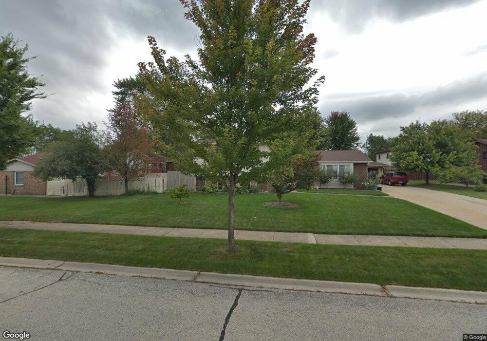
1827 Kings Point Dr N Addison, IL 60101
Estimated Value: $439,747 - $488,000
4
Beds
3
Baths
2,375
Sq Ft
$198/Sq Ft
Est. Value
About This Home
This home is located at 1827 Kings Point Dr N, Addison, IL 60101 and is currently estimated at $469,937, approximately $197 per square foot. 1827 Kings Point Dr N is a home located in DuPage County with nearby schools including Stone Elementary School, Indian Trail Jr High School, and Addison Trail High School.
Ownership History
Date
Name
Owned For
Owner Type
Purchase Details
Closed on
Oct 28, 1994
Sold by
Oak Brook Bank
Bought by
Francone Antonio and Francone Maria
Current Estimated Value
Home Financials for this Owner
Home Financials are based on the most recent Mortgage that was taken out on this home.
Original Mortgage
$120,000
Interest Rate
8.75%
Create a Home Valuation Report for This Property
The Home Valuation Report is an in-depth analysis detailing your home's value as well as a comparison with similar homes in the area
Home Values in the Area
Average Home Value in this Area
Purchase History
| Date | Buyer | Sale Price | Title Company |
|---|---|---|---|
| Francone Antonio | $191,000 | Attorneys Natl Title Network |
Source: Public Records
Mortgage History
| Date | Status | Borrower | Loan Amount |
|---|---|---|---|
| Closed | Francone Antonio | $120,000 |
Source: Public Records
Tax History Compared to Growth
Tax History
| Year | Tax Paid | Tax Assessment Tax Assessment Total Assessment is a certain percentage of the fair market value that is determined by local assessors to be the total taxable value of land and additions on the property. | Land | Improvement |
|---|---|---|---|---|
| 2024 | $8,421 | $136,108 | $38,491 | $97,617 |
| 2023 | $7,943 | $124,470 | $35,200 | $89,270 |
| 2022 | $7,972 | $119,140 | $34,980 | $84,160 |
| 2021 | $7,556 | $113,190 | $33,230 | $79,960 |
| 2020 | $7,478 | $110,430 | $32,420 | $78,010 |
| 2019 | $7,432 | $106,120 | $31,150 | $74,970 |
| 2018 | $7,047 | $97,500 | $28,620 | $68,880 |
| 2017 | $7,039 | $90,370 | $26,530 | $63,840 |
| 2016 | $6,852 | $83,630 | $24,550 | $59,080 |
| 2015 | $6,756 | $78,040 | $22,910 | $55,130 |
| 2014 | $6,326 | $72,930 | $22,070 | $50,860 |
| 2013 | $6,290 | $75,420 | $22,820 | $52,600 |
Source: Public Records
Map
Nearby Homes
- 823 N Cambridge Row
- 953 N Rohlwing Rd Unit GB
- 953 N Rohlwing Rd Unit 201A
- 943 N Rohlwing Rd Unit 101H
- 802 N Tamarac Blvd Unit Z5
- 865 N Tamarac Blvd
- 1741 W Goldengate Dr Unit 2
- 1795 W Jo Ann Ln
- 881 N Swift Rd Unit 306
- 881 N Swift Rd Unit 106
- 941 N Swift Rd Unit 301
- 1701 W Goldengate Dr
- 1750 W Woodland Ave
- 1711 W Woodland Ave
- 1560 W Goldengate Dr
- 522 N Castle Rd
- 1660 W Prescott Place
- 1205 Scarlet Dr
- 1210 N Foxdale Dr Unit 105
- 5N210 Central Rd
- 847 N Wyncroft Place
- 843 N Wyncroft Place
- 848 N Cambridge Row
- 844 N Cambridge Row
- 839 N Wyncroft Place
- 840 N Cambridge Row
- 1832 Kings Point Dr N
- 1836 Kings Point Dr N
- 1826 Kings Point Dr N
- 1838 Kings Point Dr N
- 836 N Cambridge Row
- 1843 Kings Point Dr N
- 835 N Wyncroft Place
- 1822 Kings Point Dr N
- 847 N Cambridge Row
- 844 N Wyncroft Place
- 832 N Cambridge Row
- 843 N Cambridge Row
- 1818 Kings Point Dr N
- 1842 Kings Point Dr N