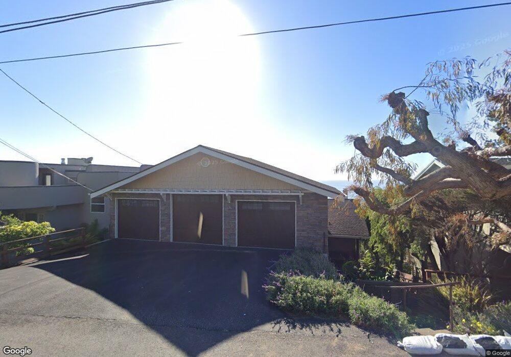
1827 Ogden Dr Cambria, CA 93428
Cambria NeighborhoodEstimated Value: $755,000 - $1,123,000
2
Beds
1
Bath
1,268
Sq Ft
$691/Sq Ft
Est. Value
About This Home
This home is located at 1827 Ogden Dr, Cambria, CA 93428 and is currently estimated at $876,716, approximately $691 per square foot. 1827 Ogden Dr is a home located in San Luis Obispo County with nearby schools including Cambria Grammar, Santa Lucia Middle School, and Coast Union High School.
Ownership History
Date
Name
Owned For
Owner Type
Purchase Details
Closed on
Feb 23, 2018
Sold by
Foster Bernardina D
Bought by
Deguzman Foster Bernardina and The De Guzman Foster Trust
Current Estimated Value
Purchase Details
Closed on
Feb 16, 2018
Sold by
Deguzman Foster Bernardina and Foster Robert Allen
Bought by
Deguzman Foster Bernardina
Purchase Details
Closed on
Dec 23, 2010
Sold by
Foster Robert A and Foster Bernardina D
Bought by
Foster Robert A and Foster Bernardina D
Home Financials for this Owner
Home Financials are based on the most recent Mortgage that was taken out on this home.
Original Mortgage
$81,682
Interest Rate
4.34%
Mortgage Type
New Conventional
Create a Home Valuation Report for This Property
The Home Valuation Report is an in-depth analysis detailing your home's value as well as a comparison with similar homes in the area
Home Values in the Area
Average Home Value in this Area
Purchase History
| Date | Buyer | Sale Price | Title Company |
|---|---|---|---|
| Deguzman Foster Bernardina | -- | None Available | |
| Deguzman Foster Bernardina | -- | None Available | |
| Foster Robert A | -- | None Available |
Source: Public Records
Mortgage History
| Date | Status | Borrower | Loan Amount |
|---|---|---|---|
| Closed | Foster Robert A | $81,682 |
Source: Public Records
Tax History
| Year | Tax Paid | Tax Assessment Tax Assessment Total Assessment is a certain percentage of the fair market value that is determined by local assessors to be the total taxable value of land and additions on the property. | Land | Improvement |
|---|---|---|---|---|
| 2025 | $4,312 | $385,457 | $300,599 | $84,858 |
| 2024 | $4,236 | $377,900 | $294,705 | $83,195 |
| 2023 | $4,236 | $370,491 | $288,927 | $81,564 |
| 2022 | $4,152 | $363,227 | $283,262 | $79,965 |
| 2021 | $4,087 | $356,106 | $277,708 | $78,398 |
| 2020 | $4,037 | $352,456 | $274,861 | $77,595 |
| 2019 | $3,961 | $345,546 | $269,472 | $76,074 |
| 2018 | $3,883 | $338,772 | $264,189 | $74,583 |
| 2017 | $3,804 | $332,130 | $259,009 | $73,121 |
| 2016 | $3,730 | $325,619 | $253,931 | $71,688 |
| 2015 | $3,678 | $320,729 | $250,117 | $70,612 |
| 2014 | $3,554 | $314,447 | $245,218 | $69,229 |
Source: Public Records
Map
Nearby Homes
- 605 Ardath Dr
- 1970 Emmons Rd
- 1850 Laurel Place
- 0 Oxford Ave
- 395 Ivar St
- 0 Madison Unit SC25216306
- 0 2080 Wales Rd
- 1980 Sherwood Dr
- 2064 Berwick Dr
- 2107 Sherwood Dr
- 1955 Avon Ave
- 0 Tully Place Unit SC22204783
- 1818 Tweed Ave
- 13 Tweed Ave
- 1845 Norwich Ave
- 0 Norwich Ave Unit SC26023800
- 0 Saint James Rd Unit SC22215081
- 0 Kenneth Dr Unit SC24012358
- 0 Kenneth Dr Unit SC25087439
- 1865 Dreydon Ave