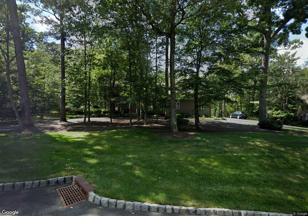
1827 Woodfield Rd Martinsville, NJ 08836
Estimated Value: $1,003,000 - $1,302,000
--
Bed
--
Bath
3,418
Sq Ft
$341/Sq Ft
Est. Value
About This Home
This home is located at 1827 Woodfield Rd, Martinsville, NJ 08836 and is currently estimated at $1,167,097, approximately $341 per square foot. 1827 Woodfield Rd is a home located in Somerset County with nearby schools including Crim Primary School, Bridgewater-Raritan Middle School, and Hillside Intermediate School.
Ownership History
Date
Name
Owned For
Owner Type
Purchase Details
Closed on
Nov 29, 1993
Sold by
So Branch Inv Co
Bought by
Uslan Richard and Uslan Barbara
Current Estimated Value
Home Financials for this Owner
Home Financials are based on the most recent Mortgage that was taken out on this home.
Original Mortgage
$39,000
Interest Rate
7.03%
Create a Home Valuation Report for This Property
The Home Valuation Report is an in-depth analysis detailing your home's value as well as a comparison with similar homes in the area
Home Values in the Area
Average Home Value in this Area
Purchase History
| Date | Buyer | Sale Price | Title Company |
|---|---|---|---|
| Uslan Richard | $495,000 | -- |
Source: Public Records
Mortgage History
| Date | Status | Borrower | Loan Amount |
|---|---|---|---|
| Closed | Uslan Richard | $39,000 |
Source: Public Records
Tax History Compared to Growth
Tax History
| Year | Tax Paid | Tax Assessment Tax Assessment Total Assessment is a certain percentage of the fair market value that is determined by local assessors to be the total taxable value of land and additions on the property. | Land | Improvement |
|---|---|---|---|---|
| 2025 | $20,059 | $1,047,600 | $274,100 | $773,500 |
| 2024 | $20,059 | $1,029,700 | $274,100 | $755,600 |
| 2023 | $18,368 | $925,800 | $274,100 | $651,700 |
| 2022 | $17,245 | $836,300 | $274,100 | $562,200 |
| 2021 | $16,678 | $803,500 | $274,100 | $529,400 |
| 2020 | $16,746 | $796,300 | $274,100 | $522,200 |
| 2019 | $16,678 | $785,600 | $274,100 | $511,500 |
| 2018 | $16,410 | $774,800 | $274,100 | $500,700 |
| 2017 | $16,275 | $767,700 | $274,100 | $493,600 |
| 2016 | $15,992 | $765,900 | $274,100 | $491,800 |
| 2015 | $15,799 | $757,000 | $274,100 | $482,900 |
| 2014 | $14,903 | $703,300 | $274,100 | $429,200 |
Source: Public Records
Map
Nearby Homes
- 552 Stangle Rd
- 1820 Woodland Terrace
- 1740 Middlebrook Rd
- 1891 Middlebrook Rd
- 1024 Mayflower Ct
- 5 Bittle Ct
- 3 Brookside Dr
- 17 Conklin Ln
- 5 Brookside Dr
- 7 Brookside Dr
- 807 Watchung Rd
- 9 Brookside Dr
- 745 Schoolhouse Ln
- 180 Farm Ln
- 811 Mountain Ave
- 143 Vosseller Ave
- 2138 Washington Valley Rd
- 650 Central Ave
- 2111 Washington Valley Rd
- 2105 Washington Valley Rd
- 1833 Woodfield Rd
- 1830 Woodfield Rd
- 1841 Woodfield Rd
- 1819 Woodfield Rd
- 1824 Woodfield Rd
- 1836 Woodfield Rd
- 1818 Woodfield Rd
- 565 Emerald Trail
- 555 Emerald Trail
- 1809 Woodfield Rd
- 575 Emerald Trail
- 1759 Merriam Dr
- 1812 Woodfield Rd
- 545 Emerald Trail
- 1753 Merriam Dr
- 585 Emerald Trail
- 558 Emerald Trail
- 1747 Merriam Dr
- 1806 Woodfield Rd
- 595 Emerald Trail