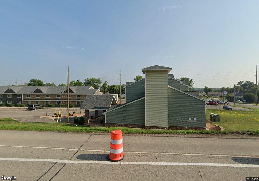
1828 Main St W Red Wing, MN 55066
Estimated Value: $177,000 - $272,000
2
Beds
2
Baths
900
Sq Ft
$250/Sq Ft
Est. Value
About This Home
This home is located at 1828 Main St W, Red Wing, MN 55066 and is currently estimated at $224,986, approximately $249 per square foot. 1828 Main St W is a home located in Goodhue County with nearby schools including Sunnyside Elementary School, Burnside Elementary School, and Twin Bluff Middle School.
Ownership History
Date
Name
Owned For
Owner Type
Purchase Details
Closed on
May 4, 2018
Sold by
Endres Shelley
Bought by
Hope T
Current Estimated Value
Purchase Details
Closed on
Mar 29, 2012
Sold by
Merchants Bank
Bought by
Endres Shelley M
Purchase Details
Closed on
Aug 1, 2008
Sold by
Sundberg Bruce and Sundberg Eileen
Bought by
Law Office Of Leah M Di Orio
Purchase Details
Closed on
Sep 4, 2003
Sold by
Lawson Rene P and Schwartz Lora L
Bought by
Sundberg Bruce A and Sundberg Eileen P
Purchase Details
Closed on
May 30, 2002
Sold by
Woestman Teresa M
Bought by
Lawson Rene P and Schwartz Lora L
Create a Home Valuation Report for This Property
The Home Valuation Report is an in-depth analysis detailing your home's value as well as a comparison with similar homes in the area
Home Values in the Area
Average Home Value in this Area
Purchase History
| Date | Buyer | Sale Price | Title Company |
|---|---|---|---|
| Hope T | -- | -- | |
| Endres Shelley M | $68,000 | -- | |
| Law Office Of Leah M Di Orio | $127,000 | -- | |
| Sundberg Bruce A | $159,000 | -- | |
| Lawson Rene P | $93,000 | -- |
Source: Public Records
Tax History Compared to Growth
Tax History
| Year | Tax Paid | Tax Assessment Tax Assessment Total Assessment is a certain percentage of the fair market value that is determined by local assessors to be the total taxable value of land and additions on the property. | Land | Improvement |
|---|---|---|---|---|
| 2025 | $1,964 | $147,200 | $29,400 | $117,800 |
| 2024 | -- | $144,900 | $29,400 | $115,500 |
| 2023 | $1,828 | $136,400 | $29,400 | $107,000 |
| 2022 | $1,732 | $134,800 | $28,600 | $106,200 |
| 2021 | $1,600 | $115,800 | $28,600 | $87,200 |
| 2020 | $1,606 | $108,400 | $28,600 | $79,800 |
| 2019 | $1,592 | $101,400 | $28,600 | $72,800 |
| 2018 | $948 | $101,700 | $28,600 | $73,100 |
| 2017 | $914 | $90,100 | $28,600 | $61,500 |
| 2016 | $830 | $88,700 | $28,600 | $60,100 |
| 2015 | $790 | $85,800 | $28,600 | $57,200 |
| 2014 | -- | $99,500 | $33,600 | $65,900 |
Source: Public Records
Map
Nearby Homes
- 1715 W 5th St
- 504 Buchanan St Unit 506
- 1738 W 6th St
- 717 Blaine St
- 1578 Alvina St
- 1130 W 4th St
- 815 W 4th St
- 1062 Putnam Ave
- 1029 Putnam Ave
- 1012 West Ave
- 1224 Tee Up Ln
- 222 Bush St Unit 402
- 222 Bush St Unit 302
- 222 Bush St Unit 404
- 222 Bush St Unit 303
- 222 Bush St Unit 301
- 222 Bush St Unit 304
- 222 Bush St Unit 401
- 1108 Hawthorne St
- 802 West Ave
- 1828 Old West Main St
- 1824 Old West Main St
- 1834 Old West Main St
- 1818 Old West Main St
- 1838 Old West Main St
- 1814 Old West Main St
- 1811 Old West Main St
- 1810 Old West Main St
- 1806 Old West Main St
- 1758 Old West Main St
- 1919 Old W Main St
- 1752 Old West Main St
- 1746 Old West Main St
- 1742 Old West Main St
- 1738 Old West Main St
- 1738 Old W Main St
- 1944 W 3rd St
- 1920 Old West Main St
- 1734 Old West Main St
- 1739 W 3rd St