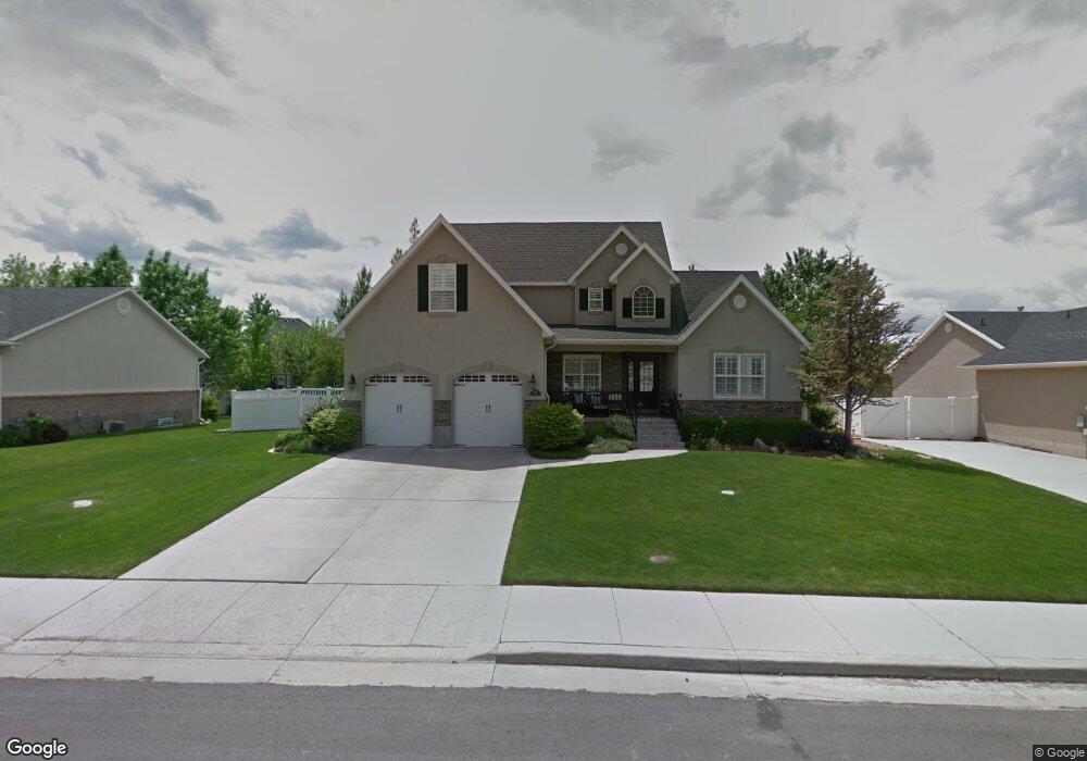
1828 River Bottom Rd Springville, UT 84663
East Hobble Creek NeighborhoodEstimated Value: $558,000 - $803,000
4
Beds
4
Baths
2,134
Sq Ft
$325/Sq Ft
Est. Value
About This Home
This home is located at 1828 River Bottom Rd, Springville, UT 84663 and is currently estimated at $693,082, approximately $324 per square foot. 1828 River Bottom Rd is a home located in Utah County with nearby schools including Hobble Creek School, Springville High School, and Springville Junior High School.
Ownership History
Date
Name
Owned For
Owner Type
Purchase Details
Closed on
Dec 1, 2016
Sold by
Barksdale Karl and Barksdale Hilary
Bought by
Barksdale Karl and Barksdale Hilary
Current Estimated Value
Purchase Details
Closed on
Sep 21, 2000
Sold by
Hunter Valley West Lc
Bought by
Barksdale Karl and Barksdale Hilary
Home Financials for this Owner
Home Financials are based on the most recent Mortgage that was taken out on this home.
Original Mortgage
$170,000
Outstanding Balance
$61,827
Interest Rate
8.07%
Estimated Equity
$631,255
Purchase Details
Closed on
Feb 1, 2000
Sold by
Brinton Gary R and Brinton Monica
Bought by
Hunter Valley West Lc
Purchase Details
Closed on
Jun 11, 1998
Sold by
Hunter Valley L C
Bought by
Brinton Gary R and Brinton Monica
Create a Home Valuation Report for This Property
The Home Valuation Report is an in-depth analysis detailing your home's value as well as a comparison with similar homes in the area
Home Values in the Area
Average Home Value in this Area
Purchase History
| Date | Buyer | Sale Price | Title Company |
|---|---|---|---|
| Barksdale Karl | -- | None Available | |
| Barksdale Karl | -- | Title West Title Co | |
| Hunter Valley West Lc | -- | Title West Title Co | |
| Hunter Valley West Lc | -- | Title West Title Co | |
| Brinton Gary R | -- | -- |
Source: Public Records
Mortgage History
| Date | Status | Borrower | Loan Amount |
|---|---|---|---|
| Open | Barksdale Karl | $170,000 |
Source: Public Records
Tax History Compared to Growth
Tax History
| Year | Tax Paid | Tax Assessment Tax Assessment Total Assessment is a certain percentage of the fair market value that is determined by local assessors to be the total taxable value of land and additions on the property. | Land | Improvement |
|---|---|---|---|---|
| 2025 | $3,293 | $350,735 | $261,900 | $375,800 |
| 2024 | $3,293 | $337,370 | $0 | $0 |
| 2023 | $3,288 | $337,150 | $0 | $0 |
| 2022 | $3,471 | $349,580 | $0 | $0 |
| 2021 | $2,952 | $462,800 | $169,600 | $293,200 |
| 2020 | $2,716 | $412,800 | $135,700 | $277,100 |
| 2019 | $2,643 | $408,900 | $131,800 | $277,100 |
| 2018 | $2,601 | $383,900 | $131,800 | $252,100 |
| 2017 | $2,412 | $189,090 | $0 | $0 |
| 2016 | $2,270 | $174,460 | $0 | $0 |
| 2015 | $2,054 | $161,425 | $0 | $0 |
| 2014 | $2,013 | $157,135 | $0 | $0 |
Source: Public Records
Map
Nearby Homes
- 59 E 775 S Unit 21
- 51 E 775 S Unit 20
- 61 E 750 S Unit 2
- 66 E 750 S Unit 23
- 687 S 2080 E
- 2295 E 700 S Unit 8
- 2295 E 700 S Unit 18
- 695 E 1700 N
- 662 E 1700 N
- 715 E 1700 N
- 645 S Red Devil Dr
- 1567 N 600 E Unit 26
- 1206 E 1150 S
- 314 S 1850 E
- 2541 Stonebury Loop Rd
- 2572 Stonebury Loop Rd
- 868 E 1400 N
- 1653 E 300 S
- 1188 W 2000 N
- 1783 E Spring Oaks Dr N Unit 12 & 1
- 1840 River Bottom Rd
- 1816 River Bottom Rd
- 1761 Cobblestone Rd
- 1852 River Bottom Rd
- 1852 River Bottom Rd
- 1852 E 900 S
- 1827 River Bottom Rd
- 1839 River Bottom Rd
- 1815 E 900 S Unit 101
- 1765 Cobblestone Rd
- 1815 River Bottom Rd
- 1851 E 900 S
- 1851 River Bottom Rd
- 1803 E 900 S
- 1803 River Bottom Rd
- 1864 River Bottom Rd
- 1864 E 900 S Unit 75
- 1864 River Bottom Rd
- 1741 E 970 S
- 1773 Cobblestone Rd