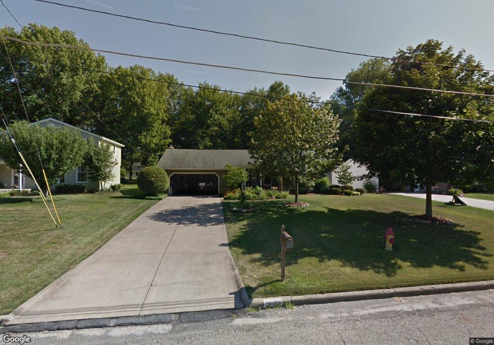
1829 Canavan Dr Youngstown, OH 44514
Estimated Value: $235,282 - $260,000
3
Beds
2
Baths
1,535
Sq Ft
$162/Sq Ft
Est. Value
About This Home
This home is located at 1829 Canavan Dr, Youngstown, OH 44514 and is currently estimated at $248,571, approximately $161 per square foot. 1829 Canavan Dr is a home located in Mahoning County with nearby schools including Poland Union Elementary School, Poland Middle School, and Poland Seminary High School.
Ownership History
Date
Name
Owned For
Owner Type
Purchase Details
Closed on
Jun 10, 1996
Sold by
Mulichak Robert M
Bought by
Fees Jeffrey M and Fees Sharyn E
Current Estimated Value
Home Financials for this Owner
Home Financials are based on the most recent Mortgage that was taken out on this home.
Original Mortgage
$85,600
Outstanding Balance
$2,464
Interest Rate
7.97%
Mortgage Type
New Conventional
Estimated Equity
$246,107
Purchase Details
Closed on
Feb 17, 1976
Bought by
Mulichak Robert M and E T
Create a Home Valuation Report for This Property
The Home Valuation Report is an in-depth analysis detailing your home's value as well as a comparison with similar homes in the area
Home Values in the Area
Average Home Value in this Area
Purchase History
| Date | Buyer | Sale Price | Title Company |
|---|---|---|---|
| Fees Jeffrey M | $107,500 | -- | |
| Mulichak Robert M | -- | -- |
Source: Public Records
Mortgage History
| Date | Status | Borrower | Loan Amount |
|---|---|---|---|
| Open | Fees Jeffrey M | $85,600 |
Source: Public Records
Tax History
| Year | Tax Paid | Tax Assessment Tax Assessment Total Assessment is a certain percentage of the fair market value that is determined by local assessors to be the total taxable value of land and additions on the property. | Land | Improvement |
|---|---|---|---|---|
| 2025 | $3,453 | $68,320 | $9,700 | $58,620 |
| 2024 | $3,531 | $68,320 | $9,700 | $58,620 |
| 2023 | $3,488 | $68,320 | $9,700 | $58,620 |
| 2022 | $2,814 | $45,710 | $9,950 | $35,760 |
| 2021 | $2,819 | $45,710 | $9,950 | $35,760 |
| 2020 | $2,830 | $45,710 | $9,950 | $35,760 |
| 2019 | $2,743 | $40,100 | $8,730 | $31,370 |
| 2018 | $2,579 | $40,100 | $8,730 | $31,370 |
| 2017 | $2,548 | $40,100 | $8,730 | $31,370 |
| 2016 | $2,848 | $42,990 | $10,350 | $32,640 |
| 2015 | $2,794 | $42,990 | $10,350 | $32,640 |
| 2014 | $2,803 | $42,990 | $10,350 | $32,640 |
| 2013 | $2,770 | $42,990 | $10,350 | $32,640 |
Source: Public Records
Map
Nearby Homes
- 148 Island Dr
- 6389 Tara Dr
- 2035 Woodward Ave
- 0 Mathews Rd Unit 5149232
- 0 Mathews Rd Unit 5143059
- 101 Delaware Ave
- 1860 Massachusetts Ave Unit 2
- 0 Oles Ave
- 0 Woodlawn Ave
- 5710 Youngstown Poland Rd
- 5425 Sheridan Rd
- 97 Renwick Dr
- 1737 Halbert Dr
- 118 N Main St
- 1750 Halbert Dr
- 2215 Knollwood Ave
- 2301 Lyon Blvd
- 1870 Basil Ave
- 2350 Hamilton Ave
- 1933 Brandon Ave
- 1825 Canavan Dr
- 1833 Canavan Dr
- 1821 Canavan Dr
- 1837 Canavan Dr
- 1817 Canavan Dr
- 1841 Canavan Dr
- 1830 Johnston Place
- 1822 Johnston Place
- 1834 Johnston Place
- 1834 Canavan Dr
- 1830 Canavan Dr
- 1838 Johnston Place
- 1818 Johnston Place
- 1826 Canavan Dr
- 1813 Canavan Dr
- 1845 Canavan Dr
- 1838 Canavan Dr
- 1842 Johnston Place
- 1814 Johnston Place
- 1842 Canavan Dr
Your Personal Tour Guide
Ask me questions while you tour the home.