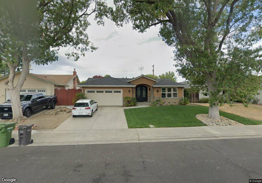
1829 Ensenada Dr Campbell, CA 95008
Hathaway NeighborhoodEstimated Value: $1,924,000 - $2,148,922
4
Beds
2
Baths
1,412
Sq Ft
$1,459/Sq Ft
Est. Value
About This Home
This home is located at 1829 Ensenada Dr, Campbell, CA 95008 and is currently estimated at $2,059,731, approximately $1,458 per square foot. 1829 Ensenada Dr is a home located in Santa Clara County with nearby schools including Latimer Elementary School, Moreland Middle School, and Prospect High School.
Ownership History
Date
Name
Owned For
Owner Type
Purchase Details
Closed on
Jun 13, 2017
Sold by
Hahad Mounir and Hahad Kahina
Bought by
Hahad Mounir and Hahad Kahina
Current Estimated Value
Purchase Details
Closed on
Nov 15, 2006
Sold by
Huang Xiao and Chan Frank
Bought by
Hahad Mounir and Hahad Kahina
Home Financials for this Owner
Home Financials are based on the most recent Mortgage that was taken out on this home.
Original Mortgage
$513,000
Outstanding Balance
$304,635
Interest Rate
6.28%
Mortgage Type
Purchase Money Mortgage
Estimated Equity
$1,755,096
Purchase Details
Closed on
Nov 13, 2003
Sold by
Yeargain Edward L and Yeargain Alice J
Bought by
Chan Frank and Huang Xiao
Home Financials for this Owner
Home Financials are based on the most recent Mortgage that was taken out on this home.
Original Mortgage
$424,000
Interest Rate
5.12%
Mortgage Type
Purchase Money Mortgage
Create a Home Valuation Report for This Property
The Home Valuation Report is an in-depth analysis detailing your home's value as well as a comparison with similar homes in the area
Home Values in the Area
Average Home Value in this Area
Purchase History
| Date | Buyer | Sale Price | Title Company |
|---|---|---|---|
| Hahad Mounir | -- | None Available | |
| Hahad Mounir | $793,000 | North American Title Company | |
| Chan Frank | $530,000 | Chicago Title |
Source: Public Records
Mortgage History
| Date | Status | Borrower | Loan Amount |
|---|---|---|---|
| Open | Hahad Mounir | $513,000 | |
| Previous Owner | Chan Frank | $424,000 |
Source: Public Records
Tax History Compared to Growth
Tax History
| Year | Tax Paid | Tax Assessment Tax Assessment Total Assessment is a certain percentage of the fair market value that is determined by local assessors to be the total taxable value of land and additions on the property. | Land | Improvement |
|---|---|---|---|---|
| 2025 | $15,631 | $1,198,644 | $796,497 | $402,147 |
| 2024 | $15,631 | $1,175,142 | $780,880 | $394,262 |
| 2023 | $15,493 | $1,152,101 | $765,569 | $386,532 |
| 2022 | $15,281 | $1,129,511 | $750,558 | $378,953 |
| 2021 | $15,027 | $1,107,365 | $735,842 | $371,523 |
| 2020 | $14,721 | $1,096,011 | $728,297 | $367,714 |
| 2019 | $14,152 | $1,074,521 | $714,017 | $360,504 |
| 2018 | $13,064 | $996,153 | $700,017 | $296,136 |
| 2017 | $12,131 | $915,151 | $686,292 | $228,859 |
| 2016 | $11,457 | $897,208 | $672,836 | $224,372 |
| 2015 | $11,335 | $883,732 | $662,730 | $221,002 |
| 2014 | $11,040 | $866,422 | $649,749 | $216,673 |
Source: Public Records
Map
Nearby Homes
- 4567 Hamilton Ave
- 4281 Hamilton Ave
- 12890 Lantana Ave
- 1094 Denver Dr
- 1370 Saratoga Ave
- 1364 Saratoga Ave
- 18255 Mccoy Ave
- 733 S San Tomas Aquino Rd
- 1295 Flora Ave
- 5212 Country Ln
- 833 S San Tomas Aquino Rd Unit L
- 872 Loyalton Dr
- 504 Century Dr
- 11210 Cottonwood Place Unit 35-08 Plan 4
- 11540 Willow Place Unit 52-11 Plan 4
- 11645 Redwood Place Unit 56-12 Plan 4
- 605 Corliss Way
- 1036 Smith Ave
- 267 Wagon Way Unit 40-03 - Plan 1
- 273 Llewellyn Ave Unit 10-18 Plan 2
- 1839 Ensenada Dr
- 1811 Ensenada Dr
- 1860 Palo Santo Dr
- 1855 Ensenada Dr
- 1872 Palo Santo Dr
- 1848 Palo Santo Dr
- 1799 Ensenada Dr
- 1826 Ensenada Dr
- 1884 Palo Santo Dr
- 1834 Palo Santo Dr
- 1840 Ensenada Dr
- 1812 Ensenada Dr
- 1869 Ensenada Dr
- 1787 Ensenada Dr
- 1856 Ensenada Dr
- 1800 Ensenada Dr
- 1896 Palo Santo Dr
- 1822 Palo Santo Dr
- 1788 Ensenada Dr
- 1870 Ensenada Dr