Estimated Value: $187,411 - $196,000
4
Beds
1
Bath
1,296
Sq Ft
$147/Sq Ft
Est. Value
About This Home
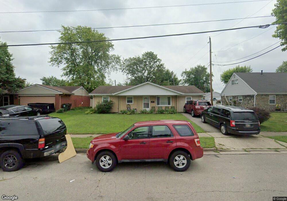
This home is located at 1829 Nebraska Dr, Xenia, OH 45385 and is currently estimated at $190,603, approximately $147 per square foot. 1829 Nebraska Dr is a home located in Greene County with nearby schools including Xenia High School and Summit Academy Community School for Alternative Learners - Xenia.
Ownership History
Date
Name
Owned For
Owner Type
Purchase Details
Closed on
Jul 31, 2020
Sold by
Morgret Rachel K
Bought by
Sensible Shelter Inc
Current Estimated Value
Purchase Details
Closed on
Feb 26, 1999
Sold by
Myers Donald A and Myers Michelle R
Bought by
Morgret Rachel K
Home Financials for this Owner
Home Financials are based on the most recent Mortgage that was taken out on this home.
Original Mortgage
$73,236
Interest Rate
6.92%
Mortgage Type
FHA
Create a Home Valuation Report for This Property
The Home Valuation Report is an in-depth analysis detailing your home's value as well as a comparison with similar homes in the area
Home Values in the Area
Average Home Value in this Area
Purchase History
| Date | Buyer | Sale Price | Title Company |
|---|---|---|---|
| Sensible Shelter Inc | $118,000 | None Available | |
| Morgret Rachel K | $73,900 | -- |
Source: Public Records
Mortgage History
| Date | Status | Borrower | Loan Amount |
|---|---|---|---|
| Previous Owner | Morgret Rachel K | $73,236 |
Source: Public Records
Tax History Compared to Growth
Tax History
| Year | Tax Paid | Tax Assessment Tax Assessment Total Assessment is a certain percentage of the fair market value that is determined by local assessors to be the total taxable value of land and additions on the property. | Land | Improvement |
|---|---|---|---|---|
| 2024 | $2,009 | $46,950 | $10,770 | $36,180 |
| 2023 | $2,009 | $46,950 | $10,770 | $36,180 |
| 2022 | $1,672 | $33,320 | $6,340 | $26,980 |
| 2021 | $1,836 | $33,320 | $6,340 | $26,980 |
| 2020 | $1,581 | $33,320 | $6,340 | $26,980 |
| 2019 | $1,395 | $27,680 | $6,240 | $21,440 |
| 2018 | $1,400 | $27,680 | $6,240 | $21,440 |
| 2017 | $1,281 | $27,680 | $6,240 | $21,440 |
| 2016 | $1,282 | $24,880 | $6,240 | $18,640 |
| 2015 | $1,286 | $24,880 | $6,240 | $18,640 |
| 2014 | $1,230 | $24,880 | $6,240 | $18,640 |
Source: Public Records
Map
Nearby Homes
- 1769 Gayhart Dr
- 1829 Gayhart Dr
- 1403 Texas Dr
- 1653 Seneca Dr
- 1908 Whitt St
- 2142 Michigan Dr
- 1778 Arapaho Dr
- 1618 Navajo Dr
- 2257 Maryland Dr
- 1866 Roxbury Dr
- 414 Whisper Ln
- 1107 Arkansas Dr
- 2758 Wyoming Dr
- 1255 Colorado Dr
- 2545 Harmony Dr
- 161 Montana Dr
- 219 Kansas Dr
- 1568 Cheyenne Dr
- 2345 Tennessee Dr
- 2499 Jenny Marie Dr
- 1841 Nebraska Dr
- 1815 Nebraska Dr
- 3258 Wyoming Dr
- 1861 Nebraska Dr
- 3272 Wyoming Dr
- 701 Montana Dr
- 3172 Wyoming Dr
- 3286 Wyoming Dr
- 1305 Commonwealth Dr
- 1319 Commonwealth Dr
- 3239 Wyoming Dr
- 3253 Wyoming Dr
- 3160 Wyoming Dr
- 1291 Commonwealth Dr
- 1333 Commonwealth Dr
- 3267 Wyoming Dr
- 658 Montana Dr
- 3179 Wyoming Dr
- 1347 Commonwealth Dr
- 3300 Wyoming Dr