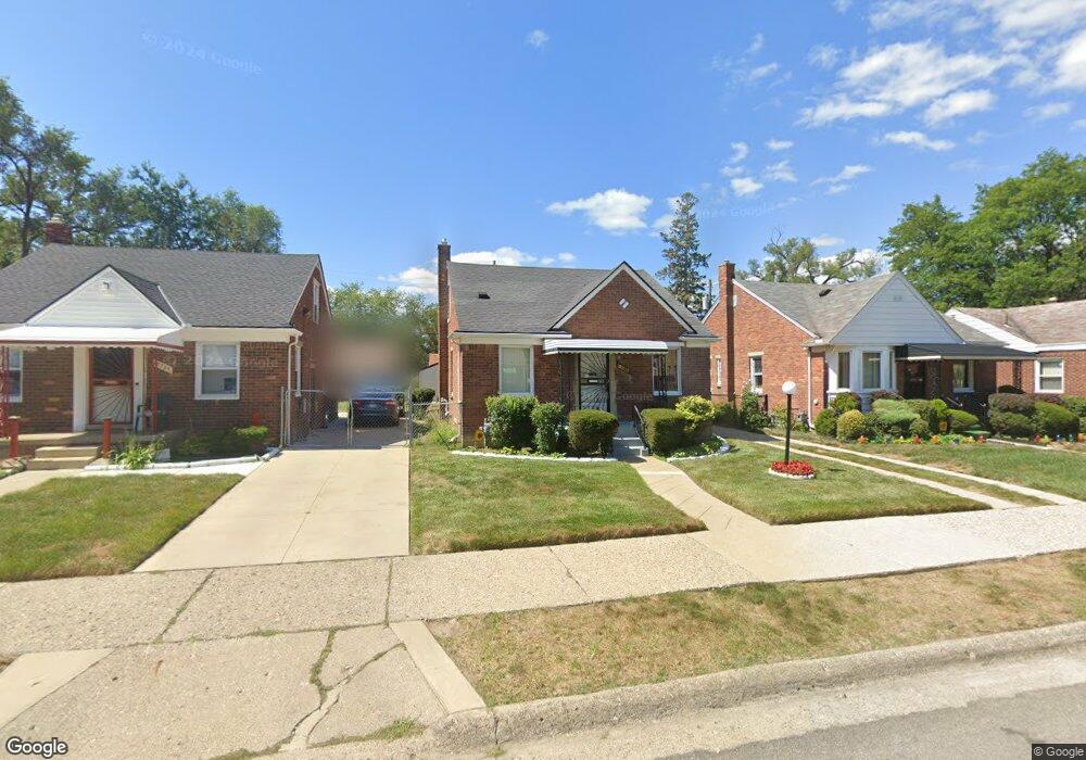
18295 Mansfield St Detroit, MI 48235
College Park NeighborhoodEstimated Value: $88,257 - $103,000
--
Bed
1
Bath
1,060
Sq Ft
$92/Sq Ft
Est. Value
About This Home
This home is located at 18295 Mansfield St, Detroit, MI 48235 and is currently estimated at $97,064, approximately $91 per square foot. 18295 Mansfield St is a home located in Wayne County with nearby schools including John R. King Academic And Performing Arts Academy, Charles L. Spain Elementary-Middle School, and Edward 'Duke' Ellington Conservatory of Music and Art.
Ownership History
Date
Name
Owned For
Owner Type
Purchase Details
Closed on
Jun 7, 2004
Sold by
Roundtree Sarah and Hollis Sarah D
Bought by
Hollis Sarah D
Current Estimated Value
Home Financials for this Owner
Home Financials are based on the most recent Mortgage that was taken out on this home.
Original Mortgage
$54,000
Interest Rate
6.06%
Mortgage Type
New Conventional
Create a Home Valuation Report for This Property
The Home Valuation Report is an in-depth analysis detailing your home's value as well as a comparison with similar homes in the area
Home Values in the Area
Average Home Value in this Area
Purchase History
| Date | Buyer | Sale Price | Title Company |
|---|---|---|---|
| Hollis Sarah D | -- | Tower City Title Agency Llc |
Source: Public Records
Mortgage History
| Date | Status | Borrower | Loan Amount |
|---|---|---|---|
| Closed | Hollis Sarah D | $54,000 |
Source: Public Records
Tax History Compared to Growth
Tax History
| Year | Tax Paid | Tax Assessment Tax Assessment Total Assessment is a certain percentage of the fair market value that is determined by local assessors to be the total taxable value of land and additions on the property. | Land | Improvement |
|---|---|---|---|---|
| 2025 | $1,078 | $43,400 | $0 | $0 |
| 2024 | $1,078 | $37,900 | $0 | $0 |
| 2023 | $1,045 | $30,400 | $0 | $0 |
| 2022 | $1,141 | $24,800 | $0 | $0 |
| 2021 | $120 | $0 | $0 | $0 |
| 2020 | $120 | $0 | $0 | $0 |
| 2019 | $120 | $0 | $0 | $0 |
| 2018 | $120 | $12,300 | $0 | $0 |
| 2017 | $218 | $11,500 | $0 | $0 |
| 2016 | $1,104 | $14,400 | $0 | $0 |
| 2015 | $1,440 | $14,400 | $0 | $0 |
| 2013 | $2,018 | $20,178 | $0 | $0 |
| 2010 | -- | $28,911 | $897 | $28,014 |
Source: Public Records
Map
Nearby Homes
- 18230 Saint Marys St
- 18210 Saint Marys St
- 18071 Saint Marys St
- 18267 Rutherford St
- 18277 Asbury Park
- 18411 Asbury Park
- 18400 Rutherford St
- 15900 Curtis St
- 18413 Ferguson St
- 15851 Curtis St
- 18021 Ferguson St
- 18500 Biltmore St
- 17552 Ferguson St
- 18413 Gilchrist St
- 15641 Pickford St
- 17227 Curtis St
- 7266 W Outer Dr
- 18500 Lindsay St
- 18900 Asbury Park
- 7275 W Outer Dr
- 18294 Saint Marys St
- 18300 Saint Marys St
- 18286 Saint Marys St
- 18303 Mansfield St
- 18311 Mansfield St
- 18287 Mansfield St
- 18312 Saint Marys St
- 18276 Saint Marys St
- 18279 Mansfield St
- 18270 Saint Marys St
- 18271 Mansfield St
- 18260 Saint Marys St
- 18401 Mansfield St
- 18261 Mansfield St
- 18402 Saint Marys St
- 18254 Saint Marys St
- 18253 Mansfield St
- 18295 Saint Marys St
- 18244 Saint Marys St
- 18294 Mansfield St