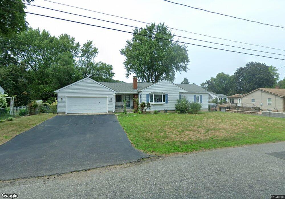
183 Bridle Path Cir Ludlow, MA 01056
Estimated Value: $334,000 - $367,000
3
Beds
1
Bath
1,427
Sq Ft
$246/Sq Ft
Est. Value
About This Home
This home is located at 183 Bridle Path Cir, Ludlow, MA 01056 and is currently estimated at $351,059, approximately $246 per square foot. 183 Bridle Path Cir is a home located in Hampden County with nearby schools including East Street Elementary School, Chapin Street Elementary School, and Paul R. Baird Middle School.
Ownership History
Date
Name
Owned For
Owner Type
Purchase Details
Closed on
Sep 2, 2020
Sold by
Carlson Gary A
Bought by
Stpeter Amy B and Carlson Tracy L
Current Estimated Value
Purchase Details
Closed on
Aug 15, 1983
Bought by
Carlson Gary A and Carlson Carol A
Create a Home Valuation Report for This Property
The Home Valuation Report is an in-depth analysis detailing your home's value as well as a comparison with similar homes in the area
Home Values in the Area
Average Home Value in this Area
Purchase History
| Date | Buyer | Sale Price | Title Company |
|---|---|---|---|
| Stpeter Amy B | -- | None Available | |
| Stpeter Amy B | -- | None Available | |
| Carlson Gary A | $42,000 | -- |
Source: Public Records
Mortgage History
| Date | Status | Borrower | Loan Amount |
|---|---|---|---|
| Previous Owner | Carlson Gary A | $43,200 | |
| Previous Owner | Carlson Gary A | $34,200 | |
| Previous Owner | Carlson Gary A | $98,600 | |
| Previous Owner | Carlson Gary A | $36,000 |
Source: Public Records
Tax History Compared to Growth
Tax History
| Year | Tax Paid | Tax Assessment Tax Assessment Total Assessment is a certain percentage of the fair market value that is determined by local assessors to be the total taxable value of land and additions on the property. | Land | Improvement |
|---|---|---|---|---|
| 2025 | $5,405 | $311,500 | $86,700 | $224,800 |
| 2024 | $5,201 | $287,500 | $86,700 | $200,800 |
| 2023 | $4,989 | $255,700 | $79,400 | $176,300 |
| 2022 | $4,444 | $222,300 | $72,700 | $149,600 |
| 2021 | $4,439 | $210,600 | $72,700 | $137,900 |
| 2020 | $4,252 | $206,200 | $71,600 | $134,600 |
| 2019 | $3,972 | $200,400 | $71,000 | $129,400 |
| 2018 | $3,756 | $197,600 | $71,000 | $126,600 |
| 2017 | $3,686 | $198,900 | $69,500 | $129,400 |
| 2016 | $3,499 | $193,000 | $68,100 | $124,900 |
| 2015 | $3,320 | $192,000 | $67,500 | $124,500 |
Source: Public Records
Map
Nearby Homes
- 166 Kendall St
- 87 Prokop Ave
- 61 Massachusetts Ave
- 41 Deroche Cir
- '0' Rood St
- 482 Holyoke St
- 60 Loopley St
- 350 West St Unit 19
- 42 Loopley St
- 517 Ideal Ln Unit 401
- 98 Fuller St Unit 32
- 84 Chapin Greene Dr
- 319 West St
- 84 Fuller St Unit 1
- 0 Nash Hill Rd
- 70 Fuller St
- 665 Center St Unit 705
- 665 Center St Unit 311
- 665 Center St Unit 706
- 251 West St
- 173 Bridle Path Cir
- 193 Bridle Path Cir
- 208 Kendall St
- 212 Kendall St
- 172 Bridle Path Cir
- 188 Bridle Path Cir
- 204 Kendall St
- 165 Bridle Path Cir
- 216 Kendall St
- 61 Homestretch Dr
- 160 Bridle Path Cir
- 200 Kendall St
- 78 Georgetown Rd
- 213 Kendall St
- 207 Kendall St
- 88 Homestretch Dr
- 153 Bridle Path Cir
- 53 Homestretch Dr
- 78 Homestretch Dr
- 68 Homestretch Dr