183 Butternut Rd Shavertown, PA 18708
Estimated Value: $256,000 - $283,310
--
Bed
--
Bath
1,484
Sq Ft
$183/Sq Ft
Est. Value
About This Home
This home is located at 183 Butternut Rd, Shavertown, PA 18708 and is currently estimated at $271,078, approximately $182 per square foot. 183 Butternut Rd is a home located in Luzerne County with nearby schools including Dallas Senior High School.
Ownership History
Date
Name
Owned For
Owner Type
Purchase Details
Closed on
Aug 7, 2023
Sold by
Nallon Donald A
Bought by
Deem Elizabeth R
Current Estimated Value
Home Financials for this Owner
Home Financials are based on the most recent Mortgage that was taken out on this home.
Original Mortgage
$235,000
Outstanding Balance
$229,545
Interest Rate
6.71%
Mortgage Type
VA
Estimated Equity
$41,533
Purchase Details
Closed on
Oct 23, 2012
Sold by
Bny Mellon Na
Bought by
Alles Rose Ann
Purchase Details
Closed on
Oct 28, 2010
Sold by
Nallon Donald and Nallon Alice
Bought by
Nallon Donald A
Create a Home Valuation Report for This Property
The Home Valuation Report is an in-depth analysis detailing your home's value as well as a comparison with similar homes in the area
Home Values in the Area
Average Home Value in this Area
Purchase History
| Date | Buyer | Sale Price | Title Company |
|---|---|---|---|
| Deem Elizabeth R | $235,000 | None Listed On Document | |
| Alles Rose Ann | -- | None Available | |
| Nallon Donald A | -- | None Available |
Source: Public Records
Mortgage History
| Date | Status | Borrower | Loan Amount |
|---|---|---|---|
| Open | Deem Elizabeth R | $235,000 |
Source: Public Records
Tax History Compared to Growth
Tax History
| Year | Tax Paid | Tax Assessment Tax Assessment Total Assessment is a certain percentage of the fair market value that is determined by local assessors to be the total taxable value of land and additions on the property. | Land | Improvement |
|---|---|---|---|---|
| 2025 | $3,980 | $183,800 | $41,200 | $142,600 |
| 2024 | $3,858 | $183,800 | $41,200 | $142,600 |
| 2023 | $3,858 | $183,800 | $41,200 | $142,600 |
| 2022 | $3,824 | $183,800 | $41,200 | $142,600 |
| 2021 | $3,824 | $183,800 | $41,200 | $142,600 |
| 2020 | $3,824 | $183,800 | $41,200 | $142,600 |
| 2019 | $3,788 | $183,800 | $41,200 | $142,600 |
| 2018 | $3,751 | $183,800 | $41,200 | $142,600 |
| 2017 | $3,697 | $183,800 | $41,200 | $142,600 |
| 2016 | -- | $183,800 | $41,200 | $142,600 |
| 2015 | $3,055 | $183,800 | $41,200 | $142,600 |
| 2014 | $3,055 | $183,800 | $41,200 | $142,600 |
Source: Public Records
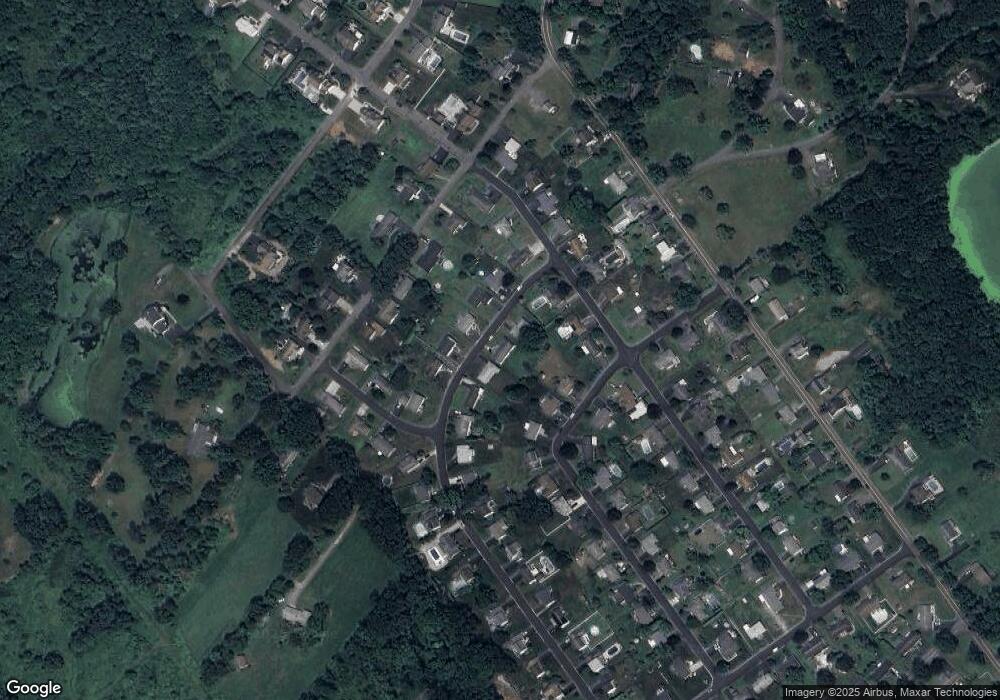
Map
Nearby Homes
- 235 E Center St
- 1 Maple Leaf Rd
- 7 Echo Valley Dr
- 10 Roosevelt St
- 205 Beech St
- 77 E Franklin St
- 1259 Lower Demunds Rd
- 162 E Overbrook Rd
- 37 E Center St
- 129 Harris Hill Rd
- 120 Frangorma Dr
- 0 Main St
- 65 E Overbrook Rd
- 65 E Overbrook Ave
- 70 Shaver Ave
- 209 Terrace Ave
- 1 Fern Ridge Ct
- 0 Lt Michael Cleary Dr
- 190 Carverton Rd
- 3 N Pioneer Ave
- 187 Butternut Rd
- 179 Butternut Rd
- 173 Butternut Rd
- 164 Shadetree Rd
- 160 Shadetree Rd
- 186 Butternut Rd
- 170 Woodbine Rd
- 190 Butternut Rd
- 172 Woodbine Rd
- 184 Butternut Rd
- 156 Shadetree Rd
- 162 Woodbine Rd
- 169 Butternut Rd
- 194 Butternut Rd
- 180 Butternut Rd
- 198 Butternut Rd
- 163 Butternut Rd
- 154 Shadetree Rd
- 151 Shadetree Rd
- 161 Shadetree Rd