Estimated Value: $312,000 - $367,000
3
Beds
3
Baths
1,905
Sq Ft
$180/Sq Ft
Est. Value
About This Home
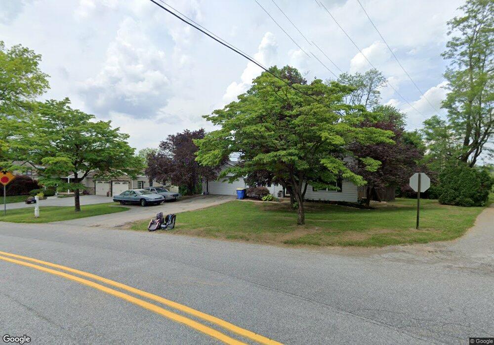
This home is located at 183 Dew Drop Rd, York, PA 17402 and is currently estimated at $343,578, approximately $180 per square foot. 183 Dew Drop Rd is a home located in York County with nearby schools including York Township Elementary School, Dallastown Area Middle School, and Dallastown Area High School.
Ownership History
Date
Name
Owned For
Owner Type
Purchase Details
Closed on
Dec 6, 2021
Sold by
Eppley Stephen G and Saxe Karen R
Bought by
Beattie Ashleigh A
Current Estimated Value
Home Financials for this Owner
Home Financials are based on the most recent Mortgage that was taken out on this home.
Original Mortgage
$245,471
Outstanding Balance
$225,859
Interest Rate
3.14%
Mortgage Type
FHA
Estimated Equity
$117,719
Purchase Details
Closed on
Jan 29, 2003
Sold by
Eppley Stephen G
Bought by
Eppley Stephen G and Saxe Karen R
Purchase Details
Closed on
Jul 3, 1986
Bought by
Eppley Stephen G
Create a Home Valuation Report for This Property
The Home Valuation Report is an in-depth analysis detailing your home's value as well as a comparison with similar homes in the area
Home Values in the Area
Average Home Value in this Area
Purchase History
| Date | Buyer | Sale Price | Title Company |
|---|---|---|---|
| Beattie Ashleigh A | $250,000 | None Available | |
| Eppley Stephen G | $58,432 | -- | |
| Eppley Stephen G | $89,900 | -- |
Source: Public Records
Mortgage History
| Date | Status | Borrower | Loan Amount |
|---|---|---|---|
| Open | Beattie Ashleigh A | $245,471 |
Source: Public Records
Tax History Compared to Growth
Tax History
| Year | Tax Paid | Tax Assessment Tax Assessment Total Assessment is a certain percentage of the fair market value that is determined by local assessors to be the total taxable value of land and additions on the property. | Land | Improvement |
|---|---|---|---|---|
| 2025 | $4,869 | $141,850 | $36,060 | $105,790 |
| 2024 | $4,798 | $141,850 | $36,060 | $105,790 |
| 2023 | $4,798 | $141,850 | $36,060 | $105,790 |
| 2022 | $4,641 | $141,850 | $36,060 | $105,790 |
| 2021 | $4,421 | $141,850 | $36,060 | $105,790 |
| 2020 | $4,421 | $141,850 | $36,060 | $105,790 |
| 2019 | $4,407 | $141,850 | $36,060 | $105,790 |
| 2018 | $4,377 | $141,850 | $36,060 | $105,790 |
| 2017 | $4,203 | $141,850 | $36,060 | $105,790 |
| 2016 | $0 | $141,850 | $36,060 | $105,790 |
| 2015 | -- | $141,850 | $36,060 | $105,790 |
| 2014 | -- | $141,850 | $36,060 | $105,790 |
Source: Public Records
Map
Nearby Homes
- 114 Dew Drop Ct Unit 114
- 146 Lexington Rd
- 119 Lexington Rd
- 30 Fox Run Dr
- 2214 S Queen St
- 224 Wheatfield Way Unit 71D
- 229 Wheatfield Way Unit 76C
- 1818 Roxboro Rd
- 2458 Schultz Way Unit 30
- 553 Green Spring Rd
- 1899 Powder Mill Rd Unit B
- 109 Lyle Cir
- 2178 Springwood Rd
- 421 Corbin Rd
- 473 Waters Rd
- 1903 Woodland Rd
- 2025 S Queen St Unit 231
- 398 Edgehill Rd
- 304 Edgehill Rd
- 2505 Joppa Rd
- 183 Dew Drop Rd
- 183A Dew Drop Rd
- 181 Dew Drop Rd
- 185 Dew Drop Rd
- 35 Shady Tree Ct
- 34 Shady Tree Ct
- 33 Shady Tree Ct
- 32 Shady Tree Ct
- 31 Shady Tree Ct Unit 31
- 30 Shady Tree Ct Unit 30
- 29 Shady Tree Ct
- 29 Shady Tree Ct Unit 32
- 189 Dew Drop Rd
- 28 Shady Tree Ct
- 1 Shady Tree Ct
- 2 Shady Tree Ct
- 27 Shady Tree Ct
- 3 Shady Tree Ct
- 193 Dew Drop Rd
- 26 Shady Tree Ct