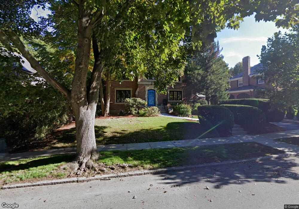
183 Eliot St Chestnut Hill, MA 02467
Chestnut Hill NeighborhoodEstimated Value: $2,832,000 - $3,304,000
4
Beds
4
Baths
2,848
Sq Ft
$1,068/Sq Ft
Est. Value
About This Home
This home is located at 183 Eliot St, Chestnut Hill, MA 02467 and is currently estimated at $3,042,915, approximately $1,068 per square foot. 183 Eliot St is a home located in Norfolk County with nearby schools including Heath Elementary School, Brimmer & May School, and Torah Academy.
Ownership History
Date
Name
Owned For
Owner Type
Purchase Details
Closed on
Jun 19, 2020
Sold by
Joselow Marsha R
Bought by
Mrj Ft
Current Estimated Value
Purchase Details
Closed on
Jun 2, 1989
Sold by
183 Eliot St T
Bought by
Kessler Richard L
Home Financials for this Owner
Home Financials are based on the most recent Mortgage that was taken out on this home.
Original Mortgage
$350,000
Interest Rate
10.92%
Mortgage Type
Purchase Money Mortgage
Purchase Details
Closed on
Dec 30, 1988
Sold by
Short Minna
Bought by
183 Eliot St Trust
Create a Home Valuation Report for This Property
The Home Valuation Report is an in-depth analysis detailing your home's value as well as a comparison with similar homes in the area
Home Values in the Area
Average Home Value in this Area
Purchase History
| Date | Buyer | Sale Price | Title Company |
|---|---|---|---|
| Mrj Ft | -- | None Available | |
| Kessler Richard L | $685,000 | -- | |
| 183 Eliot St Trust | $440,000 | -- |
Source: Public Records
Mortgage History
| Date | Status | Borrower | Loan Amount |
|---|---|---|---|
| Previous Owner | 183 Eliot St Trust | $417,000 | |
| Previous Owner | 183 Eliot St Trust | $420,000 | |
| Previous Owner | 183 Eliot St Trust | $191,250 | |
| Previous Owner | 183 Eliot St Trust | $350,000 |
Source: Public Records
Tax History Compared to Growth
Tax History
| Year | Tax Paid | Tax Assessment Tax Assessment Total Assessment is a certain percentage of the fair market value that is determined by local assessors to be the total taxable value of land and additions on the property. | Land | Improvement |
|---|---|---|---|---|
| 2025 | $27,767 | $2,813,300 | $1,449,400 | $1,363,900 |
| 2024 | $26,491 | $2,711,500 | $1,393,600 | $1,317,900 |
| 2023 | $22,519 | $2,258,700 | $995,600 | $1,263,100 |
| 2022 | $21,920 | $2,151,100 | $948,200 | $1,202,900 |
| 2021 | $20,270 | $2,068,400 | $911,700 | $1,156,700 |
| 2020 | $18,619 | $1,970,300 | $828,900 | $1,141,400 |
| 2019 | $17,582 | $1,876,400 | $789,400 | $1,087,000 |
| 2018 | $17,492 | $1,849,000 | $795,800 | $1,053,200 |
| 2017 | $17,235 | $1,744,400 | $750,700 | $993,700 |
| 2016 | $16,988 | $1,630,300 | $701,600 | $928,700 |
| 2015 | $16,272 | $1,523,600 | $655,700 | $867,900 |
| 2014 | $16,894 | $1,483,200 | $596,100 | $887,100 |
Source: Public Records
Map
Nearby Homes
- 30 Ackers Ave
- 142 Crafts Rd
- 540 Chestnut Hill Ave
- 2400 Beacon St Unit 112
- 88 Cutler Ln
- 675 Chestnut Hill Ave
- 174 Middlesex Rd
- 6 Sutherland Rd Unit 41
- 44 Orkney Rd Unit 3
- 17 Strathmore Rd Unit 2
- 1014 Boylston St
- 41 Orkney Rd
- 8 Strathmore Rd Unit G
- 130 Cabot St
- 31 Orkney Rd Unit 54
- 120 Seaver St Unit A103
- 120 Seaver St Unit C-102
- 1880 Beacon St Unit 6
- 1856 Beacon St Unit 2C
- 55 Leicester St