183 Gunstock Hill Rd Gilford, NH 03249
Estimated Value: $669,860 - $772,000
3
Beds
2
Baths
2,258
Sq Ft
$328/Sq Ft
Est. Value
About This Home
This home is located at 183 Gunstock Hill Rd, Gilford, NH 03249 and is currently estimated at $740,965, approximately $328 per square foot. 183 Gunstock Hill Rd is a home located in Belknap County with nearby schools including Gilford Elementary School, Gilford Middle School, and Gilford High School.
Ownership History
Date
Name
Owned For
Owner Type
Purchase Details
Closed on
Jun 24, 2019
Sold by
Mcdonald Paula J
Bought by
D & P Mcdonald Ft
Current Estimated Value
Purchase Details
Closed on
Jan 1, 1991
Bought by
Mcdonald Paula J
Create a Home Valuation Report for This Property
The Home Valuation Report is an in-depth analysis detailing your home's value as well as a comparison with similar homes in the area
Home Values in the Area
Average Home Value in this Area
Purchase History
| Date | Buyer | Sale Price | Title Company |
|---|---|---|---|
| D & P Mcdonald Ft | -- | -- | |
| Mcdonald Paula J | -- | -- |
Source: Public Records
Mortgage History
| Date | Status | Borrower | Loan Amount |
|---|---|---|---|
| Previous Owner | Mcdonald Paula J | $160,000 |
Source: Public Records
Tax History Compared to Growth
Tax History
| Year | Tax Paid | Tax Assessment Tax Assessment Total Assessment is a certain percentage of the fair market value that is determined by local assessors to be the total taxable value of land and additions on the property. | Land | Improvement |
|---|---|---|---|---|
| 2024 | $7,296 | $648,520 | $205,920 | $442,600 |
| 2023 | $6,680 | $648,520 | $205,920 | $442,600 |
| 2022 | $6,142 | $501,370 | $149,170 | $352,200 |
| 2021 | $6,157 | $501,370 | $149,170 | $352,200 |
| 2020 | $6,369 | $423,740 | $144,240 | $279,500 |
| 2019 | $6,313 | $398,020 | $136,120 | $261,900 |
| 2018 | $5,761 | $338,100 | $118,400 | $219,700 |
| 2017 | $9,884 | $338,100 | $118,400 | $219,700 |
| 2016 | $9,701 | $335,280 | $120,980 | $214,300 |
| 2015 | $6,117 | $340,380 | $130,980 | $209,400 |
| 2011 | $6,503 | $350,580 | $174,280 | $176,300 |
Source: Public Records
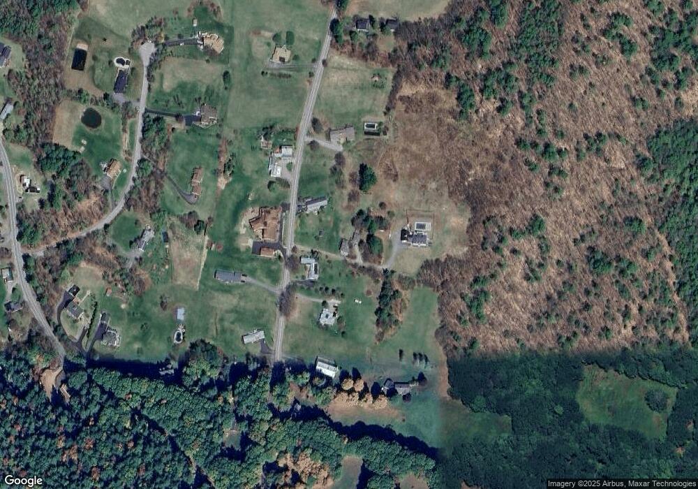
Map
Nearby Homes
- 84 Old Lake Shore Rd
- 19 Knollwood Dr
- 778 Gilford Ave
- 119 Cherry Valley Rd
- 30 Belknap Mountain Rd
- 771 Gilford Ave
- 44 Gilford Dr E
- 30 Beacon Hill Rd
- 8 Mulberry Hill Rd Unit B
- 71 Annis Dr Unit 1
- 30 Farmer Dr
- 343 Old Lake Shore Rd Unit 32
- 9 Lily Pond Rd
- 31 Henderson Rd Unit 17
- 320 Old Lake Shore Rd Unit 3
- 23 Liscomb Cir Unit 58
- 32 David Lewis Rd
- 233 Stark St
- 9 Sargents Place Unit 35
- 9 Sargents Place Unit 84
- 177 Gunstock Hill Rd
- 187 Gunstock Hill Rd
- 173 Gunstock Hill Rd
- 181 Gunstock Hill Rd
- 186 Gunstock Hill Rd
- 198 Gunstock Hill Rd
- 207 Gunstock Hill Rd
- 176 Gunstock Hill Rd
- 166 Gunstock Hill Rd
- 213 Gunstock Hill Rd
- 25 Gilman Dr
- 155 Gunstock Hill Rd
- 254 Gunstock Hill Rd
- Lot 1 Gunstock Hill Rd
- 219 Gunstock Hill Rd
- 37 Gilman Dr
- 13 Gilman Dr
- 214 Gunstock Hill Rd
- 33 Watson Rd
- 149 Gunstock Hill Rd