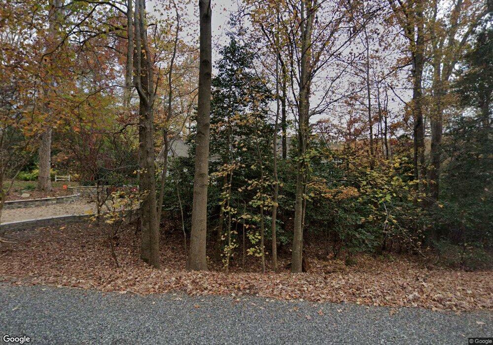
183 Jacks Cove Ln White Stone, VA 22578
Estimated Value: $1,344,000 - $1,743,000
4
Beds
4
Baths
3,332
Sq Ft
$446/Sq Ft
Est. Value
About This Home
This home is located at 183 Jacks Cove Ln, White Stone, VA 22578 and is currently estimated at $1,487,645, approximately $446 per square foot. 183 Jacks Cove Ln is a home located in Lancaster County with nearby schools including Lancaster Primary School, Lancaster Middle School, and Lancaster High School.
Ownership History
Date
Name
Owned For
Owner Type
Purchase Details
Closed on
Aug 30, 2013
Sold by
Osborne William L
Bought by
Dullea James P
Current Estimated Value
Home Financials for this Owner
Home Financials are based on the most recent Mortgage that was taken out on this home.
Original Mortgage
$350,000
Outstanding Balance
$261,181
Interest Rate
4.4%
Mortgage Type
New Conventional
Estimated Equity
$1,226,464
Create a Home Valuation Report for This Property
The Home Valuation Report is an in-depth analysis detailing your home's value as well as a comparison with similar homes in the area
Home Values in the Area
Average Home Value in this Area
Purchase History
| Date | Buyer | Sale Price | Title Company |
|---|---|---|---|
| Dullea James P | $699,000 | -- |
Source: Public Records
Mortgage History
| Date | Status | Borrower | Loan Amount |
|---|---|---|---|
| Open | Dullea James P | $350,000 |
Source: Public Records
Tax History Compared to Growth
Tax History
| Year | Tax Paid | Tax Assessment Tax Assessment Total Assessment is a certain percentage of the fair market value that is determined by local assessors to be the total taxable value of land and additions on the property. | Land | Improvement |
|---|---|---|---|---|
| 2024 | $6,280 | $1,141,800 | $320,000 | $821,800 |
| 2023 | $4,667 | $740,800 | $300,000 | $440,800 |
| 2022 | $4,667 | $740,800 | $300,000 | $440,800 |
| 2021 | $3,382 | $740,800 | $300,000 | $440,800 |
| 2020 | $4,667 | $740,800 | $300,000 | $440,800 |
| 2019 | $4,667 | $740,800 | $300,000 | $440,800 |
| 2018 | $3,758 | $636,900 | $229,000 | $407,900 |
| 2017 | $3,758 | $636,900 | $229,000 | $407,900 |
| 2016 | -- | $626,300 | $229,000 | $397,300 |
| 2014 | -- | $0 | $0 | $0 |
| 2013 | -- | $0 | $0 | $0 |
Source: Public Records
Map
Nearby Homes
- 0 Jacks Cove Ln
- 230 Breezy Point
- 230 Breezy Point Dr
- 1349 James Wharf Rd
- Map33 Yopps Cove Rd
- 0 Yopps Cove Rd
- 391 Steamboat Rd
- 19 Cedardale Ln
- 108 Spindrift Rd
- 375 Newtown Rd
- 5834 Rivers Landing Terrace
- 20825 Mary Ball Rd
- 783 King Carter Dr
- 33 Reynolds Landing
- 00 James Wharf Rd
- Lot 7 James Wharf Rd
- 935 Ring Farm Rd
- 370 King Carter Dr
- 11 Jacks Cove Ln
- 000 Jacks Cove Ln
- 195 Jacks Cove Ln
- 00 Jacks Cove Ln
- 229 Jacks Cove Ln
- 1546 James Wharf Rd
- 1592 James Wharf Rd
- 271 Jacks Cove Ln
- 2 Yopps Cove Rd
- 110 Jacks Cove Ln
- 1500 James Wharf Rd
- 51 Breezy Point
- 1626 James Wharf Rd
- 1634 James Wharf Rd
- 285 Jacks Cove Ln
- 1650 James Wharf Rd
- 107 Breezy Point
- 291 Jacks Cove Ln
- 1684 James Wharf Rd
- 0 Breezy Point Unit 1007235268
