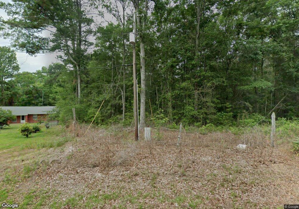
183 Martha Robinson Rd Ellisville, MS 39437
Estimated Value: $228,537 - $411,000
--
Bed
--
Bath
1,649
Sq Ft
$171/Sq Ft
Est. Value
About This Home
This home is located at 183 Martha Robinson Rd, Ellisville, MS 39437 and is currently estimated at $281,634, approximately $170 per square foot. 183 Martha Robinson Rd is a home.
Create a Home Valuation Report for This Property
The Home Valuation Report is an in-depth analysis detailing your home's value as well as a comparison with similar homes in the area
Home Values in the Area
Average Home Value in this Area
Tax History Compared to Growth
Tax History
| Year | Tax Paid | Tax Assessment Tax Assessment Total Assessment is a certain percentage of the fair market value that is determined by local assessors to be the total taxable value of land and additions on the property. | Land | Improvement |
|---|---|---|---|---|
| 2025 | $1,416 | $14,230 | $0 | $0 |
| 2024 | $1,416 | $13,555 | $0 | $0 |
| 2023 | $1,416 | $13,561 | $0 | $0 |
| 2022 | $23 | $176 | $0 | $0 |
Source: Public Records
Map
Nearby Homes
- LOT 22 Violet Dr
- 1721 Mississippi 29
- 131 Violet Dr
- 00 N Lee Cir
- 535 Graves Rd
- 301 Indian Springs Church Rd
- 457 Graves Rd
- 1498 Mississippi 29
- 47 Pace Rd
- 0 Cactus Dr
- 92 Merchant Cir
- 4 Lilly
- 0 Highway 588 Unit Tract A
- 0 Burnt Bridge Rd
- 156 Graves Rd
- Lot 3 Park View Dr
- 253 Maxey Rd
- 1247 Mississippi 29
- Meador Rd
- 801 Sandhill Township Rd
- 169 Martha Robinson Rd
- 182 Martha Robinson Rd
- 189 Martha Robinson Rd
- 166 Martha Robinson Rd
- 151 Martha Robinson Rd
- 160 Martha Robinson Rd
- 1924 Highway 29 N
- 130 Martha Robinson Rd
- 35 Hopkins Dr
- 118 Martha Robinson Rd
- 1836 Highway 29 N
- 1928 Mississippi 29
- 1928 Highway 29 N
- 1942 Highway 29 N
- 1936 Highway 29 N
- 1936 Mississippi 29
- 4 Justin Adam Dr
- 1940 Highway 29 N
- 26 Gibson Dr
- 14 Justin Adam Dr