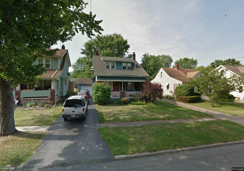
183 Melrose Ave Youngstown, OH 44512
Estimated Value: $129,174 - $151,000
2
Beds
1
Bath
1,206
Sq Ft
$115/Sq Ft
Est. Value
About This Home
This home is located at 183 Melrose Ave, Youngstown, OH 44512 and is currently estimated at $139,044, approximately $115 per square foot. 183 Melrose Ave is a home located in Mahoning County with nearby schools including Boardman Glenwood Junior High School, Boardman High School, and Horizon Science Academy - Youngstown.
Ownership History
Date
Name
Owned For
Owner Type
Purchase Details
Closed on
May 9, 2002
Sold by
Johnson Eric G
Bought by
Johnson Chikako
Current Estimated Value
Purchase Details
Closed on
Feb 25, 1999
Sold by
Cahill Scott
Bought by
Johnson Eric G and Johnson Chikako
Purchase Details
Closed on
Dec 31, 1991
Bought by
Fish Jodi L
Create a Home Valuation Report for This Property
The Home Valuation Report is an in-depth analysis detailing your home's value as well as a comparison with similar homes in the area
Home Values in the Area
Average Home Value in this Area
Purchase History
| Date | Buyer | Sale Price | Title Company |
|---|---|---|---|
| Johnson Chikako | -- | -- | |
| Johnson Eric G | $58,000 | -- | |
| Fish Jodi L | $60,000 | -- |
Source: Public Records
Mortgage History
| Date | Status | Borrower | Loan Amount |
|---|---|---|---|
| Open | Johnson Chikako | $64,000 | |
| Closed | Johnson Chikako | $63,200 |
Source: Public Records
Tax History Compared to Growth
Tax History
| Year | Tax Paid | Tax Assessment Tax Assessment Total Assessment is a certain percentage of the fair market value that is determined by local assessors to be the total taxable value of land and additions on the property. | Land | Improvement |
|---|---|---|---|---|
| 2024 | $1,714 | $33,500 | $4,400 | $29,100 |
| 2023 | $1,692 | $33,500 | $4,400 | $29,100 |
| 2022 | $1,116 | $16,700 | $4,070 | $12,630 |
| 2021 | $1,117 | $16,700 | $4,070 | $12,630 |
| 2020 | $1,122 | $16,700 | $4,070 | $12,630 |
| 2019 | $1,100 | $14,270 | $3,480 | $10,790 |
| 2018 | $908 | $14,270 | $3,480 | $10,790 |
| 2017 | $905 | $14,270 | $3,480 | $10,790 |
| 2016 | $989 | $15,440 | $3,890 | $11,550 |
| 2015 | $969 | $15,440 | $3,890 | $11,550 |
| 2014 | $972 | $15,440 | $3,890 | $11,550 |
| 2013 | $959 | $15,440 | $3,890 | $11,550 |
Source: Public Records
Map
Nearby Homes
- 167 Afton Ave
- 127 Melrose Ave
- 149 Argyle Ave
- 81 Melrose Ave
- 329 Afton Ave
- 175 Homestead Dr
- 0 Indianola Rd
- 0 Mathews Rd Unit 5038026
- 44 Gertrude Ave
- 148 Clifton Dr
- 197 Mathews Rd Unit B
- 429 Tudor Ln
- 0 Cranberry Ln Unit 5170595
- 6001 Applecrest Dr
- 83 Beechwood Dr
- 28 Terrace Dr
- 94 Beechwood Dr
- 4715 Euclid Blvd
- 4552 New England Blvd
- 424 Mathews Rd
- 197 Melrose Ave
- 181 Melrose Ave
- 199 Melrose Ave
- 175 Melrose Ave
- 173 Melrose Ave
- 190 Erskine Ave
- 201 Melrose Ave
- 194 Erskine Ave
- 167 Melrose Ave
- 180 Erskine Ave
- 180 Melrose Ave
- 186 Melrose Ave
- 186 Erskine Ave
- 0 Melrose Ave
- 182 Melrose Ave
- 174 Erskine Ave
- 174 Melrose Ave
- 205 Melrose Ave Unit 207
- 165 Melrose Ave
- 204 Erskine Ave