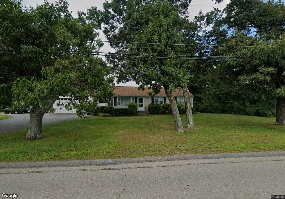
183 Shears St Wrentham, MA 02093
Estimated Value: $526,000 - $632,000
3
Beds
1
Bath
1,148
Sq Ft
$502/Sq Ft
Est. Value
About This Home
This home is located at 183 Shears St, Wrentham, MA 02093 and is currently estimated at $576,398, approximately $502 per square foot. 183 Shears St is a home located in Norfolk County with nearby schools including Delaney Elementary School and Charles E Roderick.
Ownership History
Date
Name
Owned For
Owner Type
Purchase Details
Closed on
Apr 23, 2007
Sold by
Civitarese Francis J
Bought by
Amcrealty T
Current Estimated Value
Purchase Details
Closed on
Mar 15, 2007
Sold by
Amc Rt
Bought by
Civitarese Francis J
Create a Home Valuation Report for This Property
The Home Valuation Report is an in-depth analysis detailing your home's value as well as a comparison with similar homes in the area
Purchase History
| Date | Buyer | Sale Price | Title Company |
|---|---|---|---|
| Amcrealty T | -- | -- | |
| Civitarese Francis J | -- | -- |
Source: Public Records
Tax History
| Year | Tax Paid | Tax Assessment Tax Assessment Total Assessment is a certain percentage of the fair market value that is determined by local assessors to be the total taxable value of land and additions on the property. | Land | Improvement |
|---|---|---|---|---|
| 2025 | $5,812 | $501,500 | $281,800 | $219,700 |
| 2024 | $5,383 | $448,600 | $281,800 | $166,800 |
| 2023 | $5,078 | $402,400 | $256,200 | $146,200 |
| 2022 | $4,631 | $338,800 | $203,900 | $134,900 |
| 2021 | $4,241 | $301,400 | $172,700 | $128,700 |
| 2020 | $3,863 | $271,100 | $142,900 | $128,200 |
| 2019 | $3,800 | $269,100 | $142,900 | $126,200 |
| 2018 | $4,098 | $287,800 | $143,000 | $144,800 |
| 2017 | $3,657 | $256,600 | $140,300 | $116,300 |
| 2016 | $3,574 | $250,300 | $136,200 | $114,100 |
| 2015 | $3,406 | $227,400 | $130,900 | $96,500 |
| 2014 | $3,370 | $220,100 | $125,900 | $94,200 |
Source: Public Records
Map
Nearby Homes
- 500 Franklin St
- 10 Nature View Dr
- 15 Nature View Dr
- 45 Joshua Rd
- 50 Reed Fulton Ave Unit Lot 61
- 0 W Birch Rd
- 8 Ridgefield Rd
- 11 Weber Farm Rd Unit 11
- 4 Weber Farm Rd Unit 4
- 6 Weber Farm Rd Unit 6
- 8 Weber Farm Rd Unit 8
- 1 Weber Farm Rd Unit 1
- 576 Dedham St
- 15 Tilting Rock Rd
- 30 Weber Farm Rd Unit 30
- 135 Creek St Unit 2
- 11 Sharon Ave
- 9 Sharon Ave
- 2 Earle Stewart Ln
- 3 Earle Stewart Ln
Your Personal Tour Guide
Ask me questions while you tour the home.