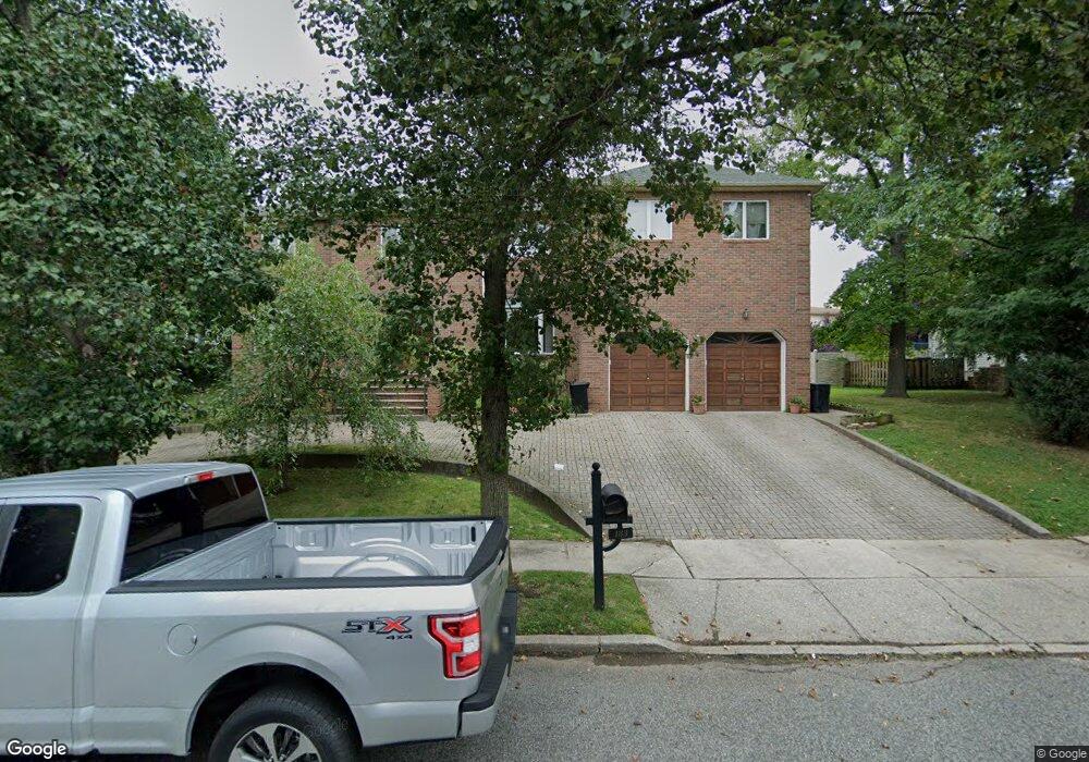
183 Uncas Ave Staten Island, NY 10309
Prince's Bay NeighborhoodEstimated Value: $1,411,000 - $1,527,000
--
Bed
--
Bath
3,500
Sq Ft
$417/Sq Ft
Est. Value
About This Home
This home is located at 183 Uncas Ave, Staten Island, NY 10309 and is currently estimated at $1,457,903, approximately $416 per square foot. 183 Uncas Ave is a home located in Richmond County with nearby schools including P.S. 3 - The Margaret Gioiosa School, I.S. 007 Elias Bernstein, and Tottenville High School.
Ownership History
Date
Name
Owned For
Owner Type
Purchase Details
Closed on
Apr 26, 2018
Sold by
Mastrianni Una and Frideriksson Una
Bought by
Mastrianni Stephen and Fridriksson Una
Current Estimated Value
Purchase Details
Closed on
Jul 27, 2011
Sold by
Fridriksson Hallgrimur and Fridriksson Erna
Bought by
Fridriksson Una
Purchase Details
Closed on
Feb 9, 1994
Sold by
Larstanna Matthew and Larstanna Sigrun
Bought by
Fridriksson Hallgrimur and Fridriksson Erna
Create a Home Valuation Report for This Property
The Home Valuation Report is an in-depth analysis detailing your home's value as well as a comparison with similar homes in the area
Home Values in the Area
Average Home Value in this Area
Purchase History
| Date | Buyer | Sale Price | Title Company |
|---|---|---|---|
| Mastrianni Stephen | -- | Ridge Abstact Cop | |
| Fridriksson Una | -- | None Available | |
| Fridriksson Hallgrimur | -- | None Available | |
| Fridriksson Hallgrimur | -- | Chicago Title Insurance Co |
Source: Public Records
Tax History Compared to Growth
Tax History
| Year | Tax Paid | Tax Assessment Tax Assessment Total Assessment is a certain percentage of the fair market value that is determined by local assessors to be the total taxable value of land and additions on the property. | Land | Improvement |
|---|---|---|---|---|
| 2025 | $12,807 | $102,420 | $14,643 | $87,777 |
| 2024 | $12,807 | $88,140 | $17,015 | $71,125 |
| 2023 | $12,852 | $63,284 | $16,705 | $46,579 |
| 2022 | $11,918 | $75,660 | $23,520 | $52,140 |
| 2021 | $11,853 | $68,100 | $23,520 | $44,580 |
| 2020 | $11,247 | $62,520 | $23,520 | $39,000 |
| 2019 | $11,116 | $65,940 | $23,520 | $42,420 |
| 2018 | $10,750 | $52,737 | $23,359 | $29,378 |
| 2017 | $10,142 | $49,752 | $19,406 | $30,346 |
| 2016 | $4,691 | $46,936 | $19,636 | $27,300 |
| 2015 | $3,640 | $44,280 | $19,620 | $24,660 |
| 2014 | $3,640 | $44,280 | $19,620 | $24,660 |
Source: Public Records
Map
Nearby Homes
- 37 Depew Place
- 518 Bradford Ave
- 21 Boynton St
- 15 Minturn Ave
- 436 Ashland Ave
- 5975 Amboy Rd
- 27 Utica St
- 6136 Amboy Rd
- 190 Parkwood Ave
- 6233 Amboy Rd
- 634 Darlington Ave
- 52 Cranberry Ct
- 93 Wheeling Ave
- 1051 Edgegrove Ave
- 1047 Edgegrove Ave
- 71 Excelsior Ave
- 6321 Amboy Rd
- 274 Ashland Ave
- 79 S Goff Ave Unit B
- 94 Sharrott Ave Unit 100
- 508 Albourne Ave
- 512 Albourne Ave
- 173 Uncas Ave
- 518 Albourne Ave
- 182 Uncas Ave
- 524 Albourne Ave
- 83 Maguire Ave
- 66 Minturn Ave
- 301 Vogel Ave
- 163 Uncas Ave
- 162 Uncas Ave
- 307 Vogel Ave
- 311 Vogel Ave
- 507 Albourne Ave
- 10 Clearmont Ave
- 515 Albourne Ave
- 474 Albourne Ave
- 295 Vogel Ave
- 28 Clearmont Ave
- 528 Albourne Ave Unit 1