1830 121st Ln NW Unit 602 Coon Rapids, MN 55448
Estimated Value: $209,952 - $222,000
2
Beds
2
Baths
1,052
Sq Ft
$207/Sq Ft
Est. Value
About This Home
This home is located at 1830 121st Ln NW Unit 602, Coon Rapids, MN 55448 and is currently estimated at $217,488, approximately $206 per square foot. 1830 121st Ln NW Unit 602 is a home located in Anoka County with nearby schools including Lucile Bruner Elementary School, Hoover Elementary School, and Laughlin Junior/Senior High School.
Ownership History
Date
Name
Owned For
Owner Type
Purchase Details
Closed on
Sep 24, 2015
Sold by
Bosacker Soani M
Bought by
Borchardt John
Current Estimated Value
Home Financials for this Owner
Home Financials are based on the most recent Mortgage that was taken out on this home.
Original Mortgage
$109,864
Outstanding Balance
$86,905
Interest Rate
4.12%
Mortgage Type
FHA
Estimated Equity
$130,583
Purchase Details
Closed on
Jul 15, 2015
Sold by
Bosacker Sonia Sonia
Bought by
Borchardt John John
Home Financials for this Owner
Home Financials are based on the most recent Mortgage that was taken out on this home.
Original Mortgage
$107,975
Interest Rate
4.04%
Create a Home Valuation Report for This Property
The Home Valuation Report is an in-depth analysis detailing your home's value as well as a comparison with similar homes in the area
Home Values in the Area
Average Home Value in this Area
Purchase History
| Date | Buyer | Sale Price | Title Company |
|---|---|---|---|
| Borchardt John | $111,900 | Trademark Title Services | |
| Borchardt John John | $111,900 | -- |
Source: Public Records
Mortgage History
| Date | Status | Borrower | Loan Amount |
|---|---|---|---|
| Open | Borchardt John | $109,864 | |
| Previous Owner | Borchardt John John | $107,975 |
Source: Public Records
Tax History Compared to Growth
Tax History
| Year | Tax Paid | Tax Assessment Tax Assessment Total Assessment is a certain percentage of the fair market value that is determined by local assessors to be the total taxable value of land and additions on the property. | Land | Improvement |
|---|---|---|---|---|
| 2025 | $1,856 | $190,000 | $40,000 | $150,000 |
| 2024 | $1,856 | $193,600 | $40,000 | $153,600 |
| 2023 | $1,736 | $190,300 | $40,000 | $150,300 |
| 2022 | $1,630 | $190,200 | $35,000 | $155,200 |
| 2021 | $1,470 | $162,200 | $45,000 | $117,200 |
| 2020 | $1,434 | $145,800 | $35,000 | $110,800 |
| 2019 | $1,324 | $137,900 | $30,000 | $107,900 |
| 2018 | $1,234 | $126,000 | $0 | $0 |
| 2017 | $1,113 | $116,300 | $0 | $0 |
| 2016 | $1,072 | $102,000 | $0 | $0 |
| 2015 | -- | $102,000 | $20,000 | $82,000 |
| 2014 | -- | $77,200 | $8,000 | $69,200 |
Source: Public Records
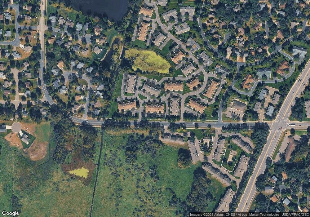
Map
Nearby Homes
- 1727 121st Ln NW
- 12365 Jay St NW
- 2068 124th Ln NW
- 12010 Eagle St NW
- 12463 Drake St NW
- 2147 125th Ln NW
- 1449 119th Ln NW
- 12554 Grouse St NW
- 1593 126th Ln NW
- 1660 Northdale Blvd NW
- 1930 127th Cir NW
- 1450 126th Ln NW
- 12760 Raven St NW
- 11852 Yellow Pine St NW
- 11444 Hanson Blvd NW
- 12759 Ibis St NW
- 11424 Hanson Blvd NW
- 11350 Jay St NW
- 12019 Zion St NW
- 11923 Wintergreen St NW
- 1830 121st Ln NW Unit 612
- 1830 121st Ln NW Unit 611
- 1830 121st Ln NW Unit 610
- 1830 121st Ln NW Unit 609
- 1830 121st Ln NW Unit 607
- 1830 121st Ln NW Unit 606
- 1830 121st Ln NW Unit 605
- 1830 121st Ln NW Unit 604
- 1830 121st Ln NW Unit 603
- 1830 121st Ln NW Unit 601
- 1830 121st Ln NW
- 1830 121st Ln NW
- 1830 1830 121st Ln NW
- 1830 1830 121st-Lane-nw
- 1830 1830 Nw 121st Ln
- 1847 121st Ln NW Unit 712
- 1847 121st Ln NW Unit 711
- 1847 121st Ln NW Unit 710
- 1847 121st Ln NW Unit 709
- 1847 121st Ln NW Unit 707