1830 121st Ln NW Unit 610 Coon Rapids, MN 55448
Estimated Value: $216,000 - $227,090
2
Beds
2
Baths
1,052
Sq Ft
$210/Sq Ft
Est. Value
About This Home
This home is located at 1830 121st Ln NW Unit 610, Coon Rapids, MN 55448 and is currently estimated at $220,773, approximately $209 per square foot. 1830 121st Ln NW Unit 610 is a home located in Anoka County with nearby schools including Lucile Bruner Elementary School, Hoover Elementary School, and Laughlin Junior/Senior High School.
Ownership History
Date
Name
Owned For
Owner Type
Purchase Details
Closed on
Dec 29, 2017
Sold by
Smith Noah M
Bought by
Brown Jennifer
Current Estimated Value
Home Financials for this Owner
Home Financials are based on the most recent Mortgage that was taken out on this home.
Original Mortgage
$135,009
Outstanding Balance
$113,815
Interest Rate
3.9%
Mortgage Type
FHA
Estimated Equity
$106,958
Purchase Details
Closed on
Mar 18, 2015
Sold by
Olson Ronald L and Olson Rose M
Bought by
Smith Noah M
Home Financials for this Owner
Home Financials are based on the most recent Mortgage that was taken out on this home.
Original Mortgage
$109,400
Interest Rate
3.62%
Mortgage Type
FHA
Purchase Details
Closed on
Feb 23, 2001
Sold by
Krier Daniel R
Bought by
Wolcenski Ryan J and Wolcenski Erin L
Create a Home Valuation Report for This Property
The Home Valuation Report is an in-depth analysis detailing your home's value as well as a comparison with similar homes in the area
Home Values in the Area
Average Home Value in this Area
Purchase History
| Date | Buyer | Sale Price | Title Company |
|---|---|---|---|
| Brown Jennifer | $137,500 | Executive Title | |
| Smith Noah M | $111,500 | Land Title Inc | |
| Wolcenski Ryan J | $112,500 | -- |
Source: Public Records
Mortgage History
| Date | Status | Borrower | Loan Amount |
|---|---|---|---|
| Open | Brown Jennifer | $135,009 | |
| Previous Owner | Smith Noah M | $109,400 |
Source: Public Records
Tax History Compared to Growth
Tax History
| Year | Tax Paid | Tax Assessment Tax Assessment Total Assessment is a certain percentage of the fair market value that is determined by local assessors to be the total taxable value of land and additions on the property. | Land | Improvement |
|---|---|---|---|---|
| 2025 | $1,888 | $192,800 | $40,000 | $152,800 |
| 2024 | $1,888 | $196,400 | $40,000 | $156,400 |
| 2023 | $1,764 | $193,200 | $40,000 | $153,200 |
| 2022 | $1,653 | $192,900 | $35,000 | $157,900 |
| 2021 | $1,494 | $164,200 | $45,000 | $119,200 |
| 2020 | $1,453 | $147,700 | $35,000 | $112,700 |
| 2019 | $1,345 | $139,400 | $30,000 | $109,400 |
| 2018 | $1,256 | $127,600 | $0 | $0 |
| 2017 | $1,105 | $117,900 | $0 | $0 |
| 2016 | $1,066 | $101,600 | $0 | $0 |
| 2015 | -- | $101,600 | $20,000 | $81,600 |
| 2014 | -- | $77,200 | $8,000 | $69,200 |
Source: Public Records
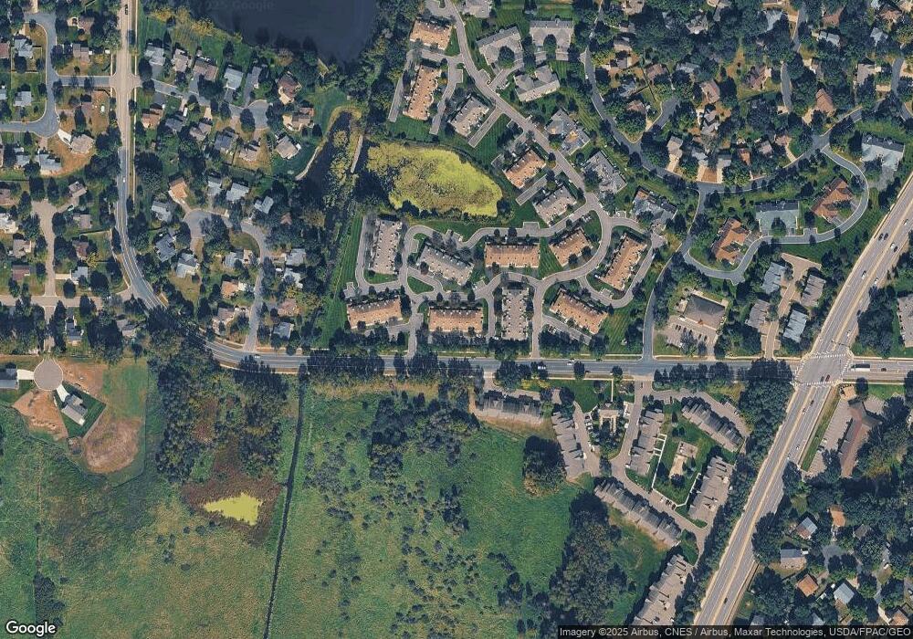
Map
Nearby Homes
- 1727 121st Ln NW
- 12365 Jay St NW
- 12010 Eagle St NW
- 1625 124th Ave NW
- 2068 124th Ln NW
- 1449 119th Ln NW
- 12463 Drake St NW
- 2147 125th Ln NW
- 1660 Northdale Blvd NW
- 12554 Grouse St NW
- 1593 126th Ln NW
- 1930 127th Cir NW
- 11852 Yellow Pine St NW
- 1450 126th Ln NW
- 11444 Hanson Blvd NW
- 11424 Hanson Blvd NW
- 11350 Jay St NW
- 12760 Raven St NW
- 11923 Wintergreen St NW
- 12796 Bluebird St NW
- 1830 121st Ln NW Unit 612
- 1830 121st Ln NW Unit 611
- 1830 121st Ln NW Unit 609
- 1830 121st Ln NW Unit 607
- 1830 121st Ln NW Unit 606
- 1830 121st Ln NW Unit 605
- 1830 121st Ln NW Unit 604
- 1830 121st Ln NW Unit 603
- 1830 121st Ln NW Unit 602
- 1830 121st Ln NW Unit 601
- 1830 121st Ln NW
- 1830 121st Ln NW
- 1830 1830 121st Ln NW
- 1830 1830 121st-Lane-nw
- 1830 1830 Nw 121st Ln
- 1847 121st Ln NW Unit 712
- 1847 121st Ln NW Unit 711
- 1847 121st Ln NW Unit 710
- 1847 121st Ln NW Unit 709
- 1847 121st Ln NW Unit 707