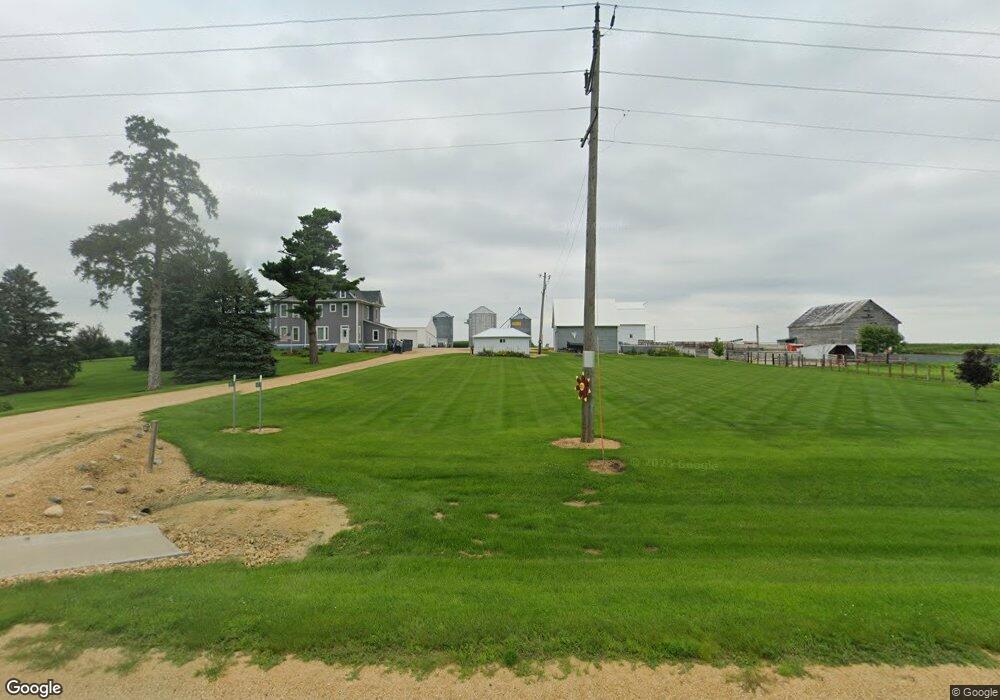
1830 Highway 30 Calamus, IA 52729
Estimated Value: $313,000 - $408,497
4
Beds
2
Baths
2,849
Sq Ft
$128/Sq Ft
Est. Value
About This Home
This home is located at 1830 Highway 30, Calamus, IA 52729 and is currently estimated at $364,832, approximately $128 per square foot. 1830 Highway 30 is a home located in Clinton County with nearby schools including Calamus Wheatland High School.
Ownership History
Date
Name
Owned For
Owner Type
Purchase Details
Closed on
May 14, 2010
Sold by
Forret Frank and Forret Elizabeth
Bought by
Forret Christopher D and Forret Lori L
Current Estimated Value
Home Financials for this Owner
Home Financials are based on the most recent Mortgage that was taken out on this home.
Original Mortgage
$120,000
Interest Rate
5.16%
Mortgage Type
New Conventional
Create a Home Valuation Report for This Property
The Home Valuation Report is an in-depth analysis detailing your home's value as well as a comparison with similar homes in the area
Home Values in the Area
Average Home Value in this Area
Purchase History
| Date | Buyer | Sale Price | Title Company |
|---|---|---|---|
| Forret Christopher D | $150,000 | None Available |
Source: Public Records
Mortgage History
| Date | Status | Borrower | Loan Amount |
|---|---|---|---|
| Closed | Forret Christopher D | $120,000 |
Source: Public Records
Tax History Compared to Growth
Tax History
| Year | Tax Paid | Tax Assessment Tax Assessment Total Assessment is a certain percentage of the fair market value that is determined by local assessors to be the total taxable value of land and additions on the property. | Land | Improvement |
|---|---|---|---|---|
| 2025 | $3,226 | $309,200 | $8,860 | $300,340 |
| 2024 | $3,226 | $276,120 | $6,840 | $269,280 |
| 2023 | $3,202 | $276,120 | $6,840 | $269,280 |
| 2022 | $2,184 | $253,140 | $5,380 | $247,760 |
| 2021 | $2,386 | $148,870 | $5,380 | $143,490 |
| 2020 | $2,386 | $155,180 | $5,930 | $149,250 |
| 2019 | $2,066 | $157,880 | $0 | $0 |
| 2018 | $2,039 | $115,540 | $0 | $0 |
| 2017 | $2,034 | $115,540 | $0 | $0 |
| 2016 | $2,366 | $195,000 | $0 | $0 |
| 2015 | $2,366 | $203,300 | $0 | $0 |
| 2014 | $2,366 | $203,300 | $0 | $0 |
| 2013 | $2,316 | $0 | $0 | $0 |
Source: Public Records
Map
Nearby Homes
- 0000 Hwy 30
- 1847 Highway 30
- 1778 Highway 30
- 0 245th St Unit 2804062
- 0 245th St Unit 5476424
- 0 245th St Unit 5477527
- 0 245th St Unit QC4110932
- 0 245th St Unit QC4110929
- 0 245th St Unit QC4117833
- 0 245th St Unit QC4117750
- 0 245th St Unit QC4124356
- 0 245th St Unit QC4136402
- 0 245th St Unit QC4152910
- 1892 Highway 30
- 2315 190th Ave
- 0 175th Unit 4097806
- 2351 190th Ave
- 1773 245th St
- 199 5th St
- 1867 230th St