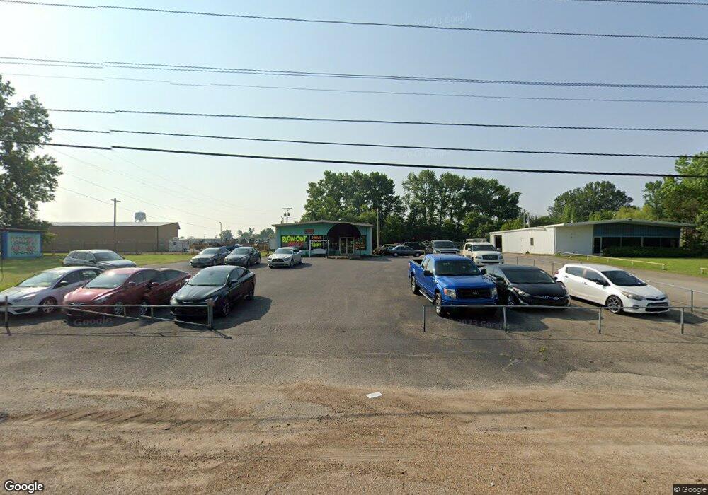
1830 Highway 51 S Covington, TN 38019
Estimated Value: $394,265
--
Bed
2
Baths
3,360
Sq Ft
$117/Sq Ft
Est. Value
About This Home
This home is located at 1830 Highway 51 S, Covington, TN 38019 and is currently estimated at $394,265, approximately $117 per square foot. 1830 Highway 51 S is a home located in Tipton County with nearby schools including Crestview Elementary School, Crestview Middle School, and Covington High School.
Ownership History
Date
Name
Owned For
Owner Type
Purchase Details
Closed on
Apr 29, 2005
Sold by
Babin Richard W
Bought by
Delashmit Jackie W
Current Estimated Value
Home Financials for this Owner
Home Financials are based on the most recent Mortgage that was taken out on this home.
Original Mortgage
$100,000
Interest Rate
5.98%
Mortgage Type
Commercial
Purchase Details
Closed on
Sep 1, 1997
Sold by
Mccullough Billie S
Bought by
Babin Richard W
Purchase Details
Closed on
Feb 10, 1978
Bought by
Mccullough Billie S
Create a Home Valuation Report for This Property
The Home Valuation Report is an in-depth analysis detailing your home's value as well as a comparison with similar homes in the area
Home Values in the Area
Average Home Value in this Area
Purchase History
| Date | Buyer | Sale Price | Title Company |
|---|---|---|---|
| Delashmit Jackie W | $165,000 | -- | |
| Babin Richard W | $80,000 | -- | |
| Mccullough Billie S | -- | -- |
Source: Public Records
Mortgage History
| Date | Status | Borrower | Loan Amount |
|---|---|---|---|
| Closed | Mccullough Billie S | $100,000 |
Source: Public Records
Tax History Compared to Growth
Tax History
| Year | Tax Paid | Tax Assessment Tax Assessment Total Assessment is a certain percentage of the fair market value that is determined by local assessors to be the total taxable value of land and additions on the property. | Land | Improvement |
|---|---|---|---|---|
| 2024 | $2,172 | $85,680 | $40,920 | $44,760 |
| 2023 | $2,172 | $85,680 | $40,920 | $44,760 |
| 2022 | $2,712 | $82,640 | $40,920 | $41,720 |
| 2021 | $2,712 | $82,640 | $40,920 | $41,720 |
| 2020 | $2,711 | $82,640 | $40,920 | $41,720 |
| 2019 | $3,076 | $82,040 | $40,920 | $41,120 |
| 2018 | $3,076 | $82,040 | $40,920 | $41,120 |
| 2017 | $3,076 | $82,040 | $40,920 | $41,120 |
| 2016 | $3,076 | $82,040 | $40,920 | $41,120 |
| 2015 | $3,074 | $82,040 | $40,920 | $41,120 |
| 2014 | $3,074 | $82,034 | $0 | $0 |
Source: Public Records
Map
Nearby Homes
- 202 Holly Grove Rd
- 0 Holly Grove Rd
- 104 Russwood Dr
- 1553 Old Brighton Rd
- 375 Mueller Brass Rd
- 0 Mueller Brass Rd
- 1912 Kimbrough Dr
- 4501 Mueller Brass Rd Unit B
- 474 Junior Dr
- 139 Melrose Rd
- 1329 Herring Dr
- 190 Stacey Ln
- 1679 Walton Loop
- 518 James St
- 52 Stacey Ln
- 714 W Sherrod Ave
- 417 Lennanwood Ave
- 513 Garland Ave
- 600 W Sherrod Ave
- 1469 S Main St
- 51 Highway S
- 1725 C Highway 51 Hwy S
- 1725 Tennessee 3
- 1725 Highway 51 S
- 1723F Highway 51 S
- 1723 Highway 51 S
- 1723 Hwy 51 S
- 1209 Old Brighton Rd
- 1861 Highway 51 S
- 1721 U S 51 Unit 1
- 1721 Highway 51 S
- 1204 Old Brighton Rd
- 1206 Old Brighton Rd
- 1200 Old Brighton Rd
- 1208 Old Brighton Rd
- 1210 Old Brighton Rd
- 1212 Old Brighton Rd
- 1214 Old Brighton Rd
- 1216 Old Brighton Rd
- 1750 Highway 51 S
