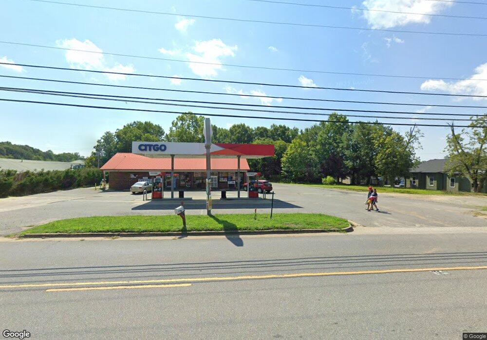
1830 N Aspen St Lincolnton, NC 28092
--
Bed
--
Bath
2,380
Sq Ft
2.64
Acres
About This Home
This home is located at 1830 N Aspen St, Lincolnton, NC 28092. 1830 N Aspen St is a home located in Lincoln County with nearby schools including Battleground Elementary School, Lincolnton Middle School, and Lincolnton High School.
Ownership History
Date
Name
Owned For
Owner Type
Purchase Details
Closed on
Apr 22, 2021
Sold by
Cardinal Quickstop Holdings Llc
Bought by
Shree Krishan Realty Llc
Purchase Details
Closed on
Apr 28, 2017
Sold by
Sain Jerry Lee and Sain Becky
Bought by
Cardinal Quickstop Holdings Llc
Home Financials for this Owner
Home Financials are based on the most recent Mortgage that was taken out on this home.
Original Mortgage
$515,000
Interest Rate
4.3%
Mortgage Type
Construction
Create a Home Valuation Report for This Property
The Home Valuation Report is an in-depth analysis detailing your home's value as well as a comparison with similar homes in the area
Home Values in the Area
Average Home Value in this Area
Purchase History
| Date | Buyer | Sale Price | Title Company |
|---|---|---|---|
| Shree Krishan Realty Llc | $589,500 | None Available | |
| Shree Krishna Realty Llc | $589,500 | None Listed On Document | |
| Cardinal Quickstop Holdings Llc | $420,000 | Master Title |
Source: Public Records
Mortgage History
| Date | Status | Borrower | Loan Amount |
|---|---|---|---|
| Previous Owner | Cardinal Quickstop Holdings Llc | $515,000 |
Source: Public Records
Tax History Compared to Growth
Tax History
| Year | Tax Paid | Tax Assessment Tax Assessment Total Assessment is a certain percentage of the fair market value that is determined by local assessors to be the total taxable value of land and additions on the property. | Land | Improvement |
|---|---|---|---|---|
| 2025 | $5,195 | $505,977 | $232,903 | $273,074 |
| 2024 | $5,175 | $505,977 | $232,903 | $273,074 |
| 2023 | $5,170 | $505,977 | $232,903 | $273,074 |
| 2022 | $4,471 | $369,482 | $186,322 | $183,160 |
| 2021 | $4,471 | $369,482 | $186,322 | $183,160 |
| 2020 | $4,282 | $369,482 | $186,322 | $183,160 |
| 2019 | $4,282 | $369,482 | $186,322 | $183,160 |
| 2018 | $5,637 | $384,057 | $218,577 | $165,480 |
| 2017 | $2,560 | $218,577 | $218,577 | $0 |
| 2016 | $2,560 | $0 | $0 | $0 |
| 2015 | $2,508 | $218,577 | $218,577 | $0 |
| 2014 | $2,845 | $245,651 | $245,651 | $0 |
Source: Public Records
Map
Nearby Homes
- 00 Eastview Dr
- 00 Shell St
- 141 Mallory Tai Dr
- 2350, 1912 N Aspen St
- 0 Wilma Sigmon Rd Unit A CAR4306088
- 915 Danbrook Cir
- 111 Newcastle Ave
- 905 Hallman Branch Ln
- 909 Hallman Branch Ln
- 901 Hallman Branch Ln
- 834 N Flint St
- 845 Hallman Branch Ln
- Lot 51 Hares Way
- Lot 49 Hares Way
- Lot 50 Hares Way
- 4578 Harris Elliot Rd
- 4548 Harris Elliot Rd
- 800 Hallman Branch Ln
- 4586 Harris Elliot Rd
- 1065 Hallman Branch Ln
- 1841 N Aspen St
- 1837 N Aspen St
- 1849 N Aspen St
- 117 Vandiver Dr
- 123 Vandiver Dr
- 1867 N Aspen St
- 1709 N Aspen St
- 1875 N Aspen St
- 5.11 a Industrial Park Rd
- 2350 N Aspen St
- 2.84 a Industrial Park Rd
- 1912 N Aspen St
- 1907 N Aspen St
- 1611 N Aspen St
- 1915 N Aspen St
- 110 Eastview Dr Unit 112
- 0 Eastview Dr Unit 44
- 114 Eastview Dr Unit 116
- 108 Industrial Park Rd
- 105 Eastview Dr Unit A