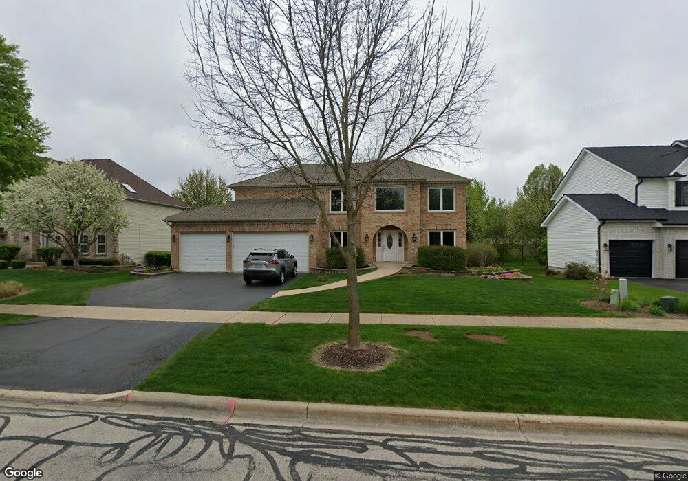
1830 Wagner Rd Batavia, IL 60510
Estimated Value: $595,000 - $709,000
5
Beds
--
Bath
2,762
Sq Ft
$236/Sq Ft
Est. Value
About This Home
This home is located at 1830 Wagner Rd, Batavia, IL 60510 and is currently estimated at $651,892, approximately $236 per square foot. 1830 Wagner Rd is a home located in Kane County with nearby schools including Hoover Wood Elementary School, Sam Rotolo Middle School, and Batavia Sr High School.
Ownership History
Date
Name
Owned For
Owner Type
Purchase Details
Closed on
Jul 24, 2003
Sold by
Kirkland Farms Pa
Bought by
Oster Steven M and Oster Cindy K
Current Estimated Value
Home Financials for this Owner
Home Financials are based on the most recent Mortgage that was taken out on this home.
Original Mortgage
$275,000
Outstanding Balance
$117,357
Interest Rate
5.31%
Mortgage Type
Purchase Money Mortgage
Estimated Equity
$534,535
Create a Home Valuation Report for This Property
The Home Valuation Report is an in-depth analysis detailing your home's value as well as a comparison with similar homes in the area
Home Values in the Area
Average Home Value in this Area
Purchase History
| Date | Buyer | Sale Price | Title Company |
|---|---|---|---|
| Oster Steven M | $364,500 | Ticor Title Insurance Compan |
Source: Public Records
Mortgage History
| Date | Status | Borrower | Loan Amount |
|---|---|---|---|
| Open | Oster Steven M | $275,000 |
Source: Public Records
Tax History Compared to Growth
Tax History
| Year | Tax Paid | Tax Assessment Tax Assessment Total Assessment is a certain percentage of the fair market value that is determined by local assessors to be the total taxable value of land and additions on the property. | Land | Improvement |
|---|---|---|---|---|
| 2024 | $13,361 | $176,993 | $31,262 | $145,731 |
| 2023 | $13,098 | $160,640 | $28,374 | $132,266 |
| 2022 | $12,585 | $150,131 | $26,518 | $123,613 |
| 2021 | $12,090 | $142,385 | $25,150 | $117,235 |
| 2020 | $12,443 | $146,987 | $24,667 | $122,320 |
| 2019 | $12,246 | $141,784 | $23,794 | $117,990 |
| 2018 | $11,764 | $136,384 | $22,888 | $113,496 |
| 2017 | $11,485 | $131,886 | $22,133 | $109,753 |
| 2016 | $11,245 | $128,044 | $21,488 | $106,556 |
| 2015 | -- | $125,129 | $20,999 | $104,130 |
| 2014 | -- | $121,190 | $20,338 | $100,852 |
| 2013 | -- | $123,810 | $24,926 | $98,884 |
Source: Public Records
Map
Nearby Homes
- 1580 Wind Energy Pass
- 3S201 S Raddant Rd
- 1548 Wind Energy Pass
- 1667 S Raddant Rd
- 3058 Preakness Ct
- 733 Wind Energy Pass
- 610 Norcross Dr
- 1335 Chillem Dr
- 2909 Savannah Dr Unit 1
- 2856 Church Rd
- 1949 Pinnacle Dr
- 1669 Pinnacle Ct
- 1017 Willow Ln Unit 2
- 473 Bond Dr
- 943 Orchard Ct
- 1903 Flagstone Ln
- 810 Columbia Cir Unit 3
- 1136 Pine Ct
- 1111 Hart Rd
- 918 S Raddant Rd
- 1838 Wagner Rd
- 1822 Wagner Rd
- 1851 Wagner Rd
- 1859 Wagner Rd
- 1849 Wagner Rd
- 1861 Wagner Rd
- 1869 Wagner Rd
- 1871 Wagner Rd
- 1729 Wiesbrock Ln
- 1879 Wagner Rd
- 34W103 Wagner Rd
- 1235 Wind Energy Pass
- 1881 Wagner Rd
- 1229 Wind Energy Pass
- 34W056 Wagner Rd
- 1243 Wind Energy Pass
- 1907 Wagner Rd
- 1723 Wiesbrock Ln
- 3S015 Wagner Rd
- 1221 Wind Energy Pass