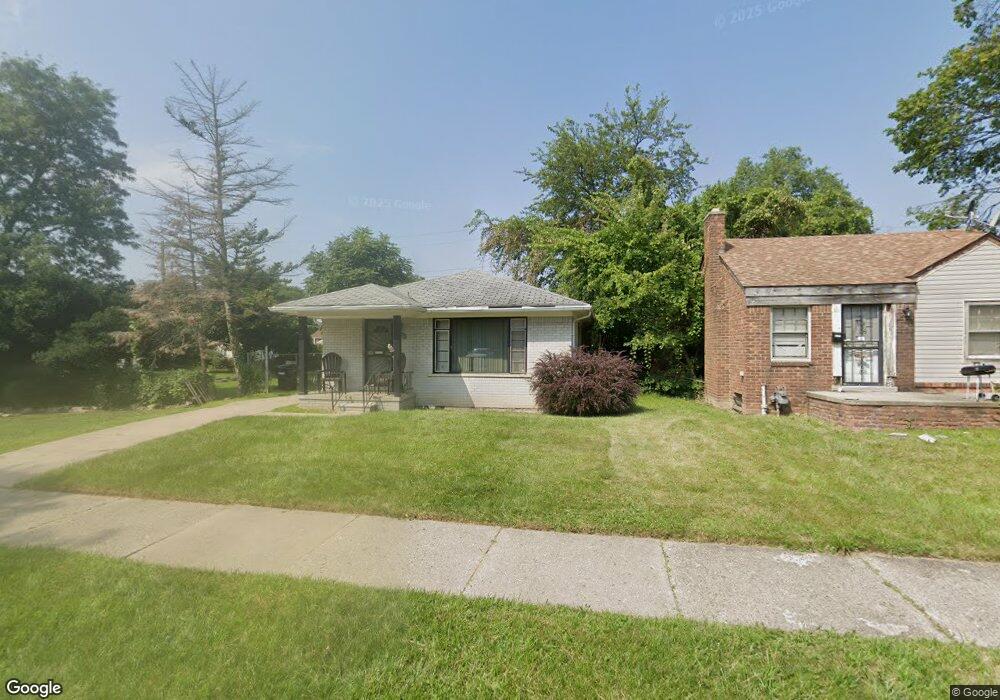
18305 Archdale St Detroit, MI 48235
College Park NeighborhoodEstimated Value: $84,175 - $128,000
--
Bed
1
Bath
972
Sq Ft
$103/Sq Ft
Est. Value
About This Home
This home is located at 18305 Archdale St, Detroit, MI 48235 and is currently estimated at $100,544, approximately $103 per square foot. 18305 Archdale St is a home located in Wayne County with nearby schools including John R. King Academic And Performing Arts Academy, Charles L. Spain Elementary-Middle School, and Edward 'Duke' Ellington Conservatory of Music and Art.
Ownership History
Date
Name
Owned For
Owner Type
Purchase Details
Closed on
Nov 11, 2014
Sold by
Treasurer Of The Charter County Of Wayne
Bought by
Atkins Tanya N
Current Estimated Value
Purchase Details
Closed on
Sep 9, 2013
Sold by
Smith Corey B
Bought by
Wallace Taniya
Purchase Details
Closed on
Nov 25, 2011
Sold by
Keith Yasmeen M
Bought by
Ym Enterprise Llc
Create a Home Valuation Report for This Property
The Home Valuation Report is an in-depth analysis detailing your home's value as well as a comparison with similar homes in the area
Home Values in the Area
Average Home Value in this Area
Purchase History
| Date | Buyer | Sale Price | Title Company |
|---|---|---|---|
| Atkins Tanya N | $7,028 | None Available | |
| Wallace Taniya | $6,500 | None Available | |
| Ym Enterprise Llc | -- | None Available |
Source: Public Records
Tax History Compared to Growth
Tax History
| Year | Tax Paid | Tax Assessment Tax Assessment Total Assessment is a certain percentage of the fair market value that is determined by local assessors to be the total taxable value of land and additions on the property. | Land | Improvement |
|---|---|---|---|---|
| 2025 | $1,129 | $42,900 | $0 | $0 |
| 2024 | $1,129 | $37,500 | $0 | $0 |
| 2023 | $1,094 | $30,000 | $0 | $0 |
| 2022 | $1,195 | $27,000 | $0 | $0 |
| 2021 | $1,166 | $21,400 | $0 | $0 |
| 2020 | $1,153 | $18,500 | $0 | $0 |
| 2019 | $1,135 | $14,600 | $0 | $0 |
| 2018 | $973 | $13,100 | $0 | $0 |
| 2017 | $231 | $12,200 | $0 | $0 |
| 2016 | $1,118 | $14,600 | $0 | $0 |
| 2015 | $1,460 | $14,600 | $0 | $0 |
| 2013 | $2,049 | $20,489 | $0 | $0 |
| 2010 | -- | $29,357 | $987 | $28,370 |
Source: Public Records
Map
Nearby Homes
- 17174 Fenmore St
- 18313 Ashton Ave
- 18321 Ashton Ave
- 18247 Ashton Ave
- 18494 Ashton Ave
- 18024 Fenmore St
- 18413 Gilchrist St
- 18401 Rosemont Ave
- 18500 Lindsay St
- 18423 Rosemont Ave
- 17227 Curtis St
- 18262 Gilchrist St
- 18911 Oakfield St
- 18413 Ferguson St
- 18500 Biltmore St
- 18518 Biltmore St
- 18911 Rosemont Ave
- 18688 Glastonbury Rd
- 18436 Margareta St
- 18411 Asbury Park
- 18313 Archdale St
- 18285 Archdale St
- 18304 Fenmore St
- 18294 Fenmore St
- 18312 Fenmore St
- 18277 Archdale St
- 18286 Fenmore St
- 18320 Fenmore St
- 18276 Fenmore St
- 18271 Archdale St
- 18304 Archdale St
- 18312 Archdale St
- 18294 Archdale St
- 18405 Archdale St
- 18286 Archdale St
- 18411 Archdale St
- 18270 Fenmore St
- 18305 Harlow St
- 18263 Archdale St
- 18295 Harlow St