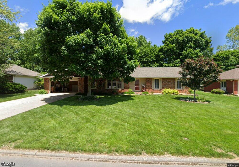
1831 E Vincent Dr Springfield, MO 65804
Lake Springfield NeighborhoodEstimated Value: $339,000 - $393,000
4
Beds
3
Baths
2,444
Sq Ft
$148/Sq Ft
Est. Value
About This Home
This home is located at 1831 E Vincent Dr, Springfield, MO 65804 and is currently estimated at $362,513, approximately $148 per square foot. 1831 E Vincent Dr is a home located in Greene County with nearby schools including Walt Disney Elementary School, Cherokee Middle School, and Kickapoo High School.
Ownership History
Date
Name
Owned For
Owner Type
Purchase Details
Closed on
Mar 7, 2025
Sold by
Crow Valley Llc
Bought by
Pati Llc
Current Estimated Value
Purchase Details
Closed on
Aug 27, 2021
Sold by
Daniel Ogg
Bought by
Nitzschke Patty
Purchase Details
Closed on
Jun 21, 2021
Sold by
Nitzschke Patty
Bought by
Nitzschke Patty and Patty K Nitzschke Revocable Living Trust
Purchase Details
Closed on
Apr 22, 2011
Sold by
Benbrook Minnie M and Benbrook Marcia M
Bought by
Nitzschke Patty
Home Financials for this Owner
Home Financials are based on the most recent Mortgage that was taken out on this home.
Original Mortgage
$174,230
Interest Rate
4.91%
Mortgage Type
New Conventional
Purchase Details
Closed on
May 29, 2008
Sold by
Nicolaides John H and Nicolaides Betty Jane
Bought by
Benbrook Marcia M
Create a Home Valuation Report for This Property
The Home Valuation Report is an in-depth analysis detailing your home's value as well as a comparison with similar homes in the area
Home Values in the Area
Average Home Value in this Area
Purchase History
| Date | Buyer | Sale Price | Title Company |
|---|---|---|---|
| Pati Llc | -- | None Listed On Document | |
| Nitzschke Patty | $35,000 | Lowther Johnson Attorneys At L | |
| Nitzschke Patty | -- | None Listed On Document | |
| Nitzschke Patty | -- | None Available | |
| Benbrook Marcia M | -- | None Available |
Source: Public Records
Mortgage History
| Date | Status | Borrower | Loan Amount |
|---|---|---|---|
| Previous Owner | Nitzschke Patty | $174,230 |
Source: Public Records
Tax History
| Year | Tax Paid | Tax Assessment Tax Assessment Total Assessment is a certain percentage of the fair market value that is determined by local assessors to be the total taxable value of land and additions on the property. | Land | Improvement |
|---|---|---|---|---|
| 2025 | $1,928 | $43,550 | $11,400 | $32,150 |
| 2024 | $1,928 | $35,930 | $7,220 | $28,710 |
| 2023 | $1,917 | $35,930 | $7,220 | $28,710 |
| 2022 | $1,895 | $34,690 | $7,220 | $27,470 |
| 2021 | $1,894 | $34,690 | $7,220 | $27,470 |
| 2020 | $1,981 | $34,690 | $7,220 | $27,470 |
| 2019 | $1,925 | $34,690 | $7,220 | $27,470 |
| 2018 | $1,588 | $28,630 | $7,220 | $21,410 |
| 2017 | $1,572 | $28,060 | $7,220 | $20,840 |
| 2016 | $1,538 | $28,060 | $7,220 | $20,840 |
| 2015 | $1,524 | $28,060 | $7,220 | $20,840 |
| 2014 | $1,480 | $27,060 | $7,220 | $19,840 |
Source: Public Records
Map
Nearby Homes
- 1821 E Vincent Dr
- 4706 S Connor Ave
- 4525 S Aladdin Ct
- 1842 E Richmond Place
- 4749 S Bellhurst Ave
- 4771 S Bellhurst Ave
- 4781 S Bellhurst Ave
- 2207 E Cardinal St
- 1369 E Price St
- 2228 E Armory Ct
- 2304 E Cardinal St
- 2195 E Richmond St
- 2207 E Lark St
- 4900 S Bellhurst Ave
- 4006 S Kentwood Ave
- 1264 E Lafayette Ct
- 2390 E Cardinal St
- 2437 E German Ivy
- 2413 E Swallow St
- 2460 E German Ivy
- 1841 E Vincent Dr
- 1851 E Vincent St
- 1830 E Jacqueline St
- 1840 E Jacqueline St
- 1830 E Vincent Dr
- 1811 E Vincent St
- 1820 E Vincent Dr
- 1840 E Vincent Dr
- 1850 E Jacqueline St
- 1810 E Vincent Dr
- 1850 E Vincent Dr
- 1905 E Vincent St
- 1905 E Vincent Dr
- 1831 E Jacqueline St
- 1906 E Jacqueline St
- 1841 E Jacqueline St
- 1821 E Jacqueline St
- 1829 E Holiday St
- 1837 E Holiday St
- 1906 E Vincent Dr
Your Personal Tour Guide
Ask me questions while you tour the home.