1831 Harmon St Gilbert, SC 29054
Estimated Value: $714,000 - $1,224,000
3
Beds
3
Baths
2,478
Sq Ft
$396/Sq Ft
Est. Value
About This Home
This home is located at 1831 Harmon St, Gilbert, SC 29054 and is currently estimated at $980,676, approximately $395 per square foot. 1831 Harmon St is a home located in Lexington County with nearby schools including Centerville Elementary School, Gilbert Middle School, and Gilbert High School.
Ownership History
Date
Name
Owned For
Owner Type
Purchase Details
Closed on
Jun 1, 2019
Sold by
Brown Kerry R and Brown Georgia M
Bought by
Rund James R
Current Estimated Value
Home Financials for this Owner
Home Financials are based on the most recent Mortgage that was taken out on this home.
Original Mortgage
$415,000
Outstanding Balance
$363,367
Interest Rate
4.1%
Mortgage Type
VA
Estimated Equity
$617,309
Purchase Details
Closed on
Jul 29, 1998
Sold by
Manus Realty Inc
Bought by
Basden Donald L
Create a Home Valuation Report for This Property
The Home Valuation Report is an in-depth analysis detailing your home's value as well as a comparison with similar homes in the area
Home Values in the Area
Average Home Value in this Area
Purchase History
| Date | Buyer | Sale Price | Title Company |
|---|---|---|---|
| Rund James R | $665,000 | None Available | |
| Basden Donald L | $8,250 | -- |
Source: Public Records
Mortgage History
| Date | Status | Borrower | Loan Amount |
|---|---|---|---|
| Open | Rund James R | $415,000 |
Source: Public Records
Tax History
| Year | Tax Paid | Tax Assessment Tax Assessment Total Assessment is a certain percentage of the fair market value that is determined by local assessors to be the total taxable value of land and additions on the property. | Land | Improvement |
|---|---|---|---|---|
| 2024 | $3,399 | $26,600 | $13,800 | $12,800 |
| 2023 | $3,549 | $26,600 | $13,800 | $12,800 |
| 2022 | $3,961 | $26,600 | $13,800 | $12,800 |
| 2020 | $4,062 | $26,600 | $13,800 | $12,800 |
| 2019 | $2,519 | $18,895 | $12,880 | $6,015 |
| 2018 | $2,474 | $18,895 | $12,880 | $6,015 |
| 2017 | $2,393 | $18,895 | $12,880 | $6,015 |
| 2016 | $2,380 | $18,895 | $12,880 | $6,015 |
| 2014 | $2,139 | $17,952 | $11,778 | $6,174 |
| 2013 | -- | $17,950 | $11,780 | $6,170 |
Source: Public Records
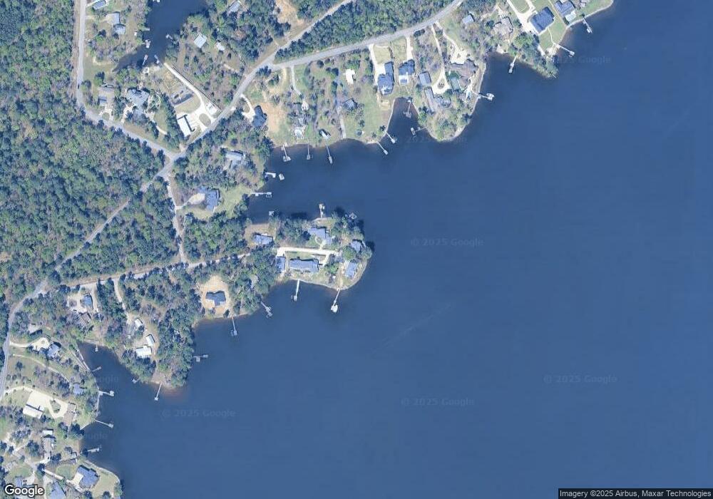
Map
Nearby Homes
- 180 Lillian St
- 1633 Barracks Dr
- 1459 Bombing Range Rd
- 1233 Shull Island Rd
- 1148 Shull Island Rd
- 1305 Rock Island Rd
- 102 Royal Ct
- 417 Dot Ct
- 157 Collins Cove Dr
- 604 Wisteria Key Place
- 1148 Indian Summer Point
- 115 Pointe Overlook Dr
- 249 Pointe Overlook Dr
- 120 Magnolia Key Dr
- 131 W Circle Dr
- 404 Jasmine Key Ln
- 0 Counts Ferry Rd Unit LOT 5
- 0 Counts Ferry Rd Unit LOT 6
- 0 Counts Ferry Rd Unit LOT 4
- 0 Counts Ferry Rd Unit LOT 2
- 1830 Harmon St
- 1825 Harmon St
- 1824 Harmon St
- 1808 Harmon St
- 1812 Harmon St
- 1808 Shull Ave
- 1912 Amick Dr
- 1902 Amick Dr
- 1721 Amanda Dr
- 1928 Amick Dr
- 1820 Shull Ave
- 1920 Amick Dr
- 1920 Amick Dr
- 1924 Amick Dr
- 1722 Harmon St
- 1930 Amick Dr
- 0 Shull Ave Unit 528845
- 0 Shull Ave Unit 2/2A
- 1811 Shull Ave
- 1829 Shull Ave
Your Personal Tour Guide
Ask me questions while you tour the home.