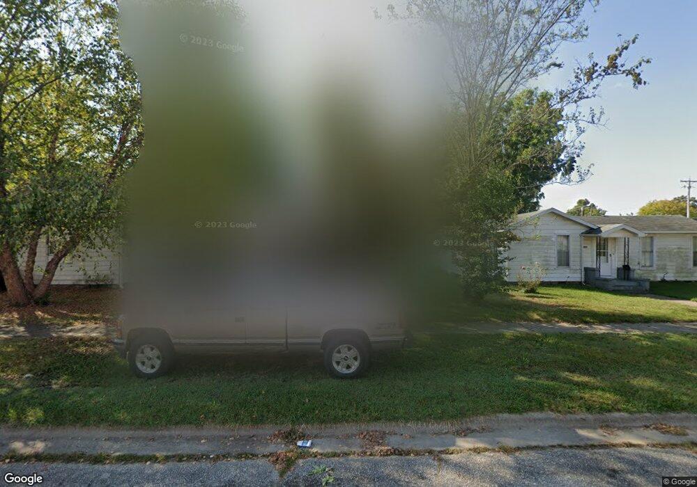
1831 Logan St Murphysboro, IL 62966
Estimated Value: $52,000 - $61,000
1
Bed
--
Bath
768
Sq Ft
$75/Sq Ft
Est. Value
About This Home
This home is located at 1831 Logan St, Murphysboro, IL 62966 and is currently estimated at $57,385, approximately $74 per square foot. 1831 Logan St is a home located in Jackson County with nearby schools including Murphysboro High School, Immanuel Lutheran School, and Murphysboro Christian Academy.
Ownership History
Date
Name
Owned For
Owner Type
Purchase Details
Closed on
Oct 14, 2016
Sold by
Bastlen Ryan
Bought by
Bastlen Ronald
Current Estimated Value
Purchase Details
Closed on
Mar 3, 2009
Sold by
Bastien Doris Ann and Hoppe Margaret Lou
Bought by
Bastien Ryan L
Home Financials for this Owner
Home Financials are based on the most recent Mortgage that was taken out on this home.
Original Mortgage
$19,500
Interest Rate
5.14%
Purchase Details
Closed on
May 3, 2007
Sold by
Fielding Sarah Evelyn
Bought by
Bastien Doris Ann and Hoppe Margaret Lou
Create a Home Valuation Report for This Property
The Home Valuation Report is an in-depth analysis detailing your home's value as well as a comparison with similar homes in the area
Home Values in the Area
Average Home Value in this Area
Purchase History
| Date | Buyer | Sale Price | Title Company |
|---|---|---|---|
| Bastlen Ronald | $10,000 | Attorney | |
| Bastien Ryan L | $19,000 | None Available | |
| Bastien Doris Ann | -- | None Available |
Source: Public Records
Mortgage History
| Date | Status | Borrower | Loan Amount |
|---|---|---|---|
| Previous Owner | Bastien Ryan L | $19,500 |
Source: Public Records
Tax History
| Year | Tax Paid | Tax Assessment Tax Assessment Total Assessment is a certain percentage of the fair market value that is determined by local assessors to be the total taxable value of land and additions on the property. | Land | Improvement |
|---|---|---|---|---|
| 2024 | $1,212 | $11,818 | $1,635 | $10,183 |
| 2023 | $1,142 | $10,485 | $1,450 | $9,035 |
| 2022 | $1,087 | $9,610 | $1,329 | $8,281 |
| 2021 | $1,054 | $9,016 | $1,247 | $7,769 |
| 2020 | $1,060 | $8,909 | $1,232 | $7,677 |
| 2019 | $981 | $8,754 | $1,211 | $7,543 |
| 2018 | $1,211 | $11,512 | $1,211 | $10,301 |
| 2017 | $1,207 | $11,512 | $1,211 | $10,301 |
| 2016 | $564 | $11,512 | $1,211 | $10,301 |
| 2015 | -- | $11,512 | $1,211 | $10,301 |
| 2014 | -- | $11,621 | $1,211 | $10,410 |
| 2012 | -- | $11,621 | $1,211 | $10,410 |
Source: Public Records
Map
Nearby Homes
Your Personal Tour Guide
Ask me questions while you tour the home.