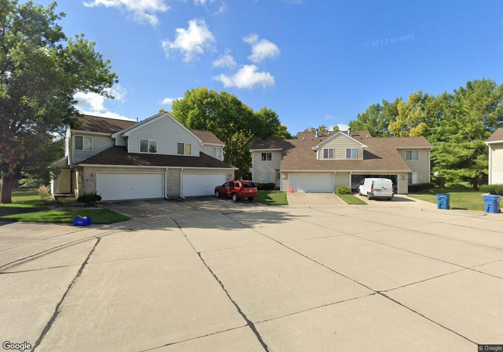
1831 Tahoe Ct Unit 1831 Champaign, IL 61822
West Haven NeighborhoodEstimated Value: $190,000 - $245,000
--
Bed
3
Baths
1,266
Sq Ft
$176/Sq Ft
Est. Value
About This Home
This home is located at 1831 Tahoe Ct Unit 1831, Champaign, IL 61822 and is currently estimated at $222,748, approximately $175 per square foot. 1831 Tahoe Ct Unit 1831 is a home located in Champaign County with nearby schools including Centennial High School, Countryside School, and Swann Special Care Center-Elem/Secondary School.
Ownership History
Date
Name
Owned For
Owner Type
Purchase Details
Closed on
Jul 16, 2010
Sold by
Pinteris George and Mouzourou Chryso
Bought by
Wauthier Donald
Current Estimated Value
Home Financials for this Owner
Home Financials are based on the most recent Mortgage that was taken out on this home.
Original Mortgage
$100,000
Outstanding Balance
$33,410
Interest Rate
4.74%
Mortgage Type
New Conventional
Estimated Equity
$189,338
Purchase Details
Closed on
Mar 12, 2005
Sold by
Devocelle Michael John and Devocelle Christine Carol
Bought by
Pinteris George
Home Financials for this Owner
Home Financials are based on the most recent Mortgage that was taken out on this home.
Original Mortgage
$110,800
Interest Rate
5.67%
Mortgage Type
Balloon
Create a Home Valuation Report for This Property
The Home Valuation Report is an in-depth analysis detailing your home's value as well as a comparison with similar homes in the area
Home Values in the Area
Average Home Value in this Area
Purchase History
| Date | Buyer | Sale Price | Title Company |
|---|---|---|---|
| Wauthier Donald | $128,000 | Allied Title Services | |
| Pinteris George | $138,500 | -- |
Source: Public Records
Mortgage History
| Date | Status | Borrower | Loan Amount |
|---|---|---|---|
| Open | Wauthier Donald | $100,000 | |
| Previous Owner | Pinteris George | $110,800 |
Source: Public Records
Tax History Compared to Growth
Tax History
| Year | Tax Paid | Tax Assessment Tax Assessment Total Assessment is a certain percentage of the fair market value that is determined by local assessors to be the total taxable value of land and additions on the property. | Land | Improvement |
|---|---|---|---|---|
| 2024 | $4,022 | $55,560 | $12,610 | $42,950 |
| 2023 | $4,022 | $50,600 | $11,480 | $39,120 |
| 2022 | $3,741 | $46,680 | $10,590 | $36,090 |
| 2021 | $3,640 | $45,760 | $10,380 | $35,380 |
| 2020 | $3,484 | $44,000 | $9,980 | $34,020 |
| 2019 | $3,360 | $43,090 | $9,770 | $33,320 |
| 2018 | $3,277 | $42,420 | $9,620 | $32,800 |
| 2017 | $3,291 | $42,420 | $9,620 | $32,800 |
| 2016 | $2,940 | $41,540 | $9,420 | $32,120 |
| 2015 | $2,953 | $40,800 | $9,250 | $31,550 |
| 2014 | $2,928 | $40,800 | $9,250 | $31,550 |
| 2013 | $2,901 | $40,800 | $9,250 | $31,550 |
Source: Public Records
Map
Nearby Homes
- 1818 Tahoe Ct
- 3510 S Duncan Rd
- 2605 Trafalgar Square
- 2612 W Kirby Ave
- 1508 Centennial Dr
- 2205 Edgewater Place
- 1309 Maplepark Dr
- 2808 Carrelton Dr
- 1402 Scottsdale Dr
- 1601 Carolyn Dr
- 1801 Crescent Dr
- 2313 Glenoak Dr
- 1407 Kenwood Rd
- 2203 W Kirby Ave
- 2801 Valleybrook Dr
- 2009 Southwood Dr
- 2302 Blackthorn Dr
- 1801 Cobblefield Ct
- 2401 Lakewood Dr
- 2003 W Kirby Ave
- 1829 Tahoe Ct Unit 1829
- 1832 Tahoe Ct
- 1830 Tahoe Ct
- 1830 Tahoe Ct Unit 1840
- 1827 Tahoe Ct Unit 1827
- 1825 Tahoe Ct Unit 1825
- 1828 Tahoe Ct Unit 1828
- 1826 Tahoe Ct
- 2904 Southwood Dr
- 2902 Southwood Dr
- 1823 Tahoe Ct Unit 1823
- 2906 Southwood Dr
- 1824 Tahoe Ct
- 2806 Southwood Dr
- 1821 Tahoe Ct Unit 1821
- 1822 Tahoe Ct
- 1819 Tahoe Ct
- 2908 Southwood Dr
- 1820 Tahoe Ct Unit 1820
- 1815 Stratford Dr