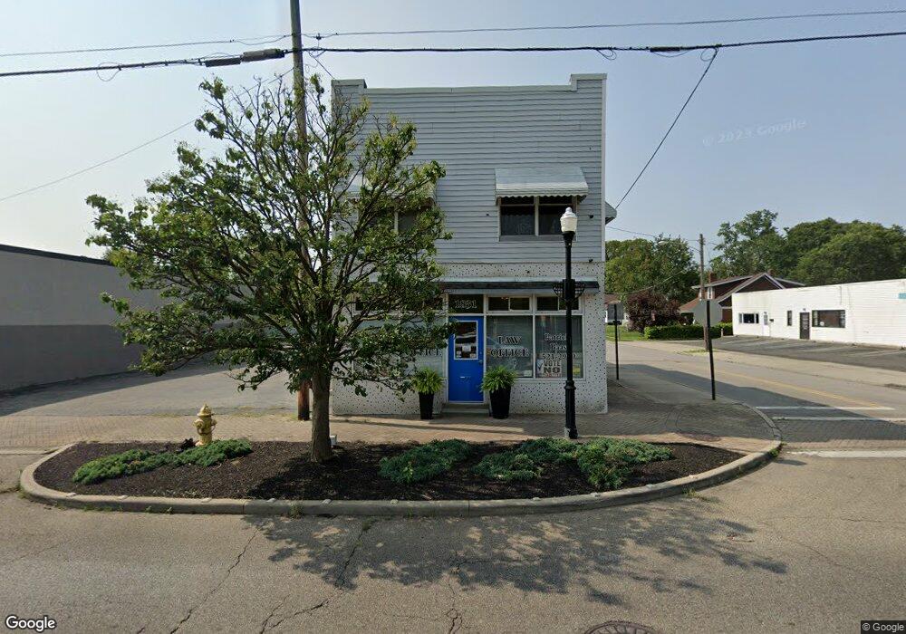
1831 W Galbraith Rd Cincinnati, OH 45239
Estimated Value: $137,881
--
Bed
--
Bath
2,288
Sq Ft
$60/Sq Ft
Est. Value
About This Home
This home is located at 1831 W Galbraith Rd, Cincinnati, OH 45239 and is currently estimated at $137,881, approximately $60 per square foot. 1831 W Galbraith Rd is a home located in Hamilton County with nearby schools including North College Hill Elementary School, North College Hill Middle School, and North College Hill High School.
Ownership History
Date
Name
Owned For
Owner Type
Purchase Details
Closed on
Sep 24, 2007
Sold by
Myers Paul B
Bought by
Baas Patricia A
Current Estimated Value
Home Financials for this Owner
Home Financials are based on the most recent Mortgage that was taken out on this home.
Original Mortgage
$61,006
Outstanding Balance
$38,803
Interest Rate
6.66%
Mortgage Type
Seller Take Back
Estimated Equity
$99,078
Purchase Details
Closed on
Dec 2, 1996
Sold by
Myers Pauline E
Bought by
Myers Paul B
Create a Home Valuation Report for This Property
The Home Valuation Report is an in-depth analysis detailing your home's value as well as a comparison with similar homes in the area
Home Values in the Area
Average Home Value in this Area
Purchase History
| Date | Buyer | Sale Price | Title Company |
|---|---|---|---|
| Baas Patricia A | $67,500 | Attorney | |
| Myers Paul B | -- | -- |
Source: Public Records
Mortgage History
| Date | Status | Borrower | Loan Amount |
|---|---|---|---|
| Open | Baas Patricia A | $61,006 |
Source: Public Records
Tax History Compared to Growth
Tax History
| Year | Tax Paid | Tax Assessment Tax Assessment Total Assessment is a certain percentage of the fair market value that is determined by local assessors to be the total taxable value of land and additions on the property. | Land | Improvement |
|---|---|---|---|---|
| 2024 | $2,003 | $26,090 | $9,615 | $16,475 |
| 2023 | $1,972 | $26,090 | $9,615 | $16,475 |
| 2022 | $1,971 | $22,278 | $9,023 | $13,255 |
| 2021 | $1,971 | $22,278 | $9,023 | $13,255 |
| 2020 | $1,748 | $22,278 | $9,023 | $13,255 |
| 2019 | $1,769 | $21,631 | $8,761 | $12,870 |
| 2018 | $1,784 | $21,631 | $8,761 | $12,870 |
| 2017 | $1,707 | $21,631 | $8,761 | $12,870 |
| 2016 | $1,695 | $21,641 | $9,499 | $12,142 |
| 2015 | $1,709 | $21,641 | $9,499 | $12,142 |
| 2014 | $1,704 | $21,641 | $9,499 | $12,142 |
| 2013 | $1,719 | $22,082 | $9,692 | $12,390 |
Source: Public Records
Map
Nearby Homes
- 6842 Grace Ave
- 6912 Noble Ave
- 1805 de Armand Ave
- 1841 Bising Ave
- 1818 Dallas Ave
- 1842 Bising Ave
- 1835 Dallas Ave
- 1850 Bising Ave
- 6941 Mulberry St
- 6943 Mulberry St
- 1917 Dallas Ave
- 1802 Sundale Ave
- 1944 Dallas Ave
- 7004 Mulberry St
- 1613 de Armand Ave
- 6909 Lois Dr
- 1811 Sterling Ave
- 6712 Park Place
- 6585 Parrish Ave
- 1902 Knollridge Ln
- 1829 W Galbraith Rd
- 6844 Bake Ave
- 1833 W Galbraith Rd
- 1821 Galbraith Rd
- 6843 Grace Ave
- 6838 Bake Ave
- 6841 Grace Ave
- 6843 Bake Ave
- 1837 W Galbraith Rd
- 1817 W Galbraith Rd Unit A
- 1817 W Galbraith Rd
- 6839 Bake Ave
- 6839 Grace Ave
- 6836 Bake Ave
- 6837 Grace Ave
- 1841 W Galbraith Rd
- 6834 Bake Ave
- 6835 Grace Ave
- 6837 Bake Ave
- 1815 W Galbraith Rd