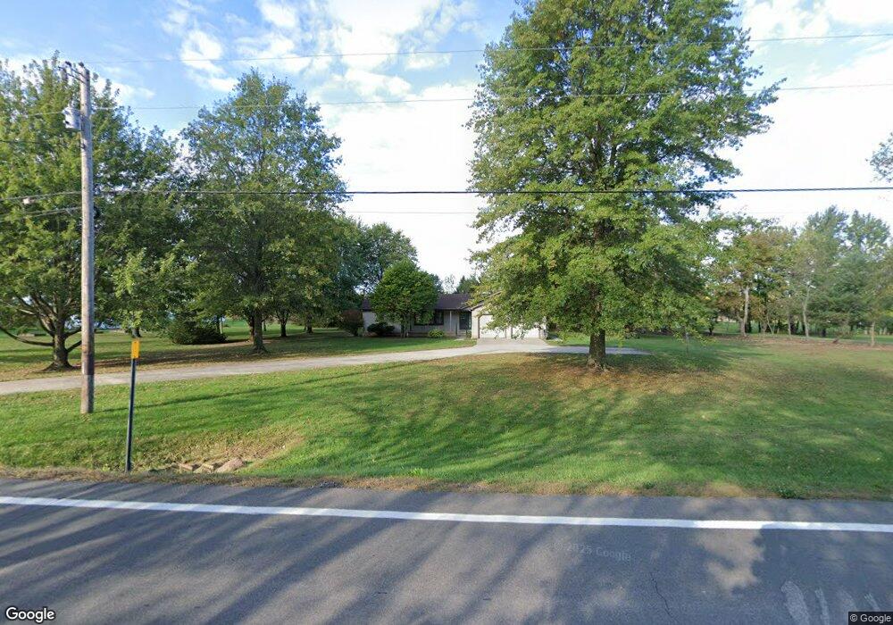
18318 State Route 301 Lagrange, OH 44050
Estimated Value: $351,898 - $471,000
3
Beds
3
Baths
1,958
Sq Ft
$197/Sq Ft
Est. Value
About This Home
This home is located at 18318 State Route 301, Lagrange, OH 44050 and is currently estimated at $386,475, approximately $197 per square foot. 18318 State Route 301 is a home located in Lorain County with nearby schools including Keystone Elementary School, Keystone Middle School, and Keystone High School.
Ownership History
Date
Name
Owned For
Owner Type
Purchase Details
Closed on
Sep 14, 2006
Sold by
Parsons Holdings Llc
Bought by
Plas Lawrence R
Current Estimated Value
Purchase Details
Closed on
Nov 12, 2003
Sold by
Plas James T
Bought by
Parsons Holdings Llc
Purchase Details
Closed on
Jul 1, 2002
Sold by
Plas James T
Bought by
Plas James T and James T Plas Revocable Trust
Purchase Details
Closed on
May 20, 1998
Sold by
Plas James A and Plas Larry
Bought by
Plas James T
Purchase Details
Closed on
Apr 30, 1998
Sold by
Estate Of Carol Plas
Bought by
Plas James A and Plas Larry
Create a Home Valuation Report for This Property
The Home Valuation Report is an in-depth analysis detailing your home's value as well as a comparison with similar homes in the area
Home Values in the Area
Average Home Value in this Area
Purchase History
| Date | Buyer | Sale Price | Title Company |
|---|---|---|---|
| Plas Lawrence R | -- | Attorney | |
| Parsons Holdings Llc | -- | -- | |
| Plas James T | -- | -- | |
| Plas James T | $170,000 | -- | |
| Plas James A | -- | -- |
Source: Public Records
Tax History Compared to Growth
Tax History
| Year | Tax Paid | Tax Assessment Tax Assessment Total Assessment is a certain percentage of the fair market value that is determined by local assessors to be the total taxable value of land and additions on the property. | Land | Improvement |
|---|---|---|---|---|
| 2024 | $4,179 | $100,037 | $19,670 | $80,367 |
| 2023 | $4,199 | $84,179 | $18,785 | $65,394 |
| 2022 | $4,170 | $84,179 | $18,785 | $65,394 |
| 2021 | $4,170 | $84,179 | $18,785 | $65,394 |
| 2020 | $3,828 | $68,890 | $15,370 | $53,520 |
| 2019 | $3,805 | $68,890 | $15,370 | $53,520 |
| 2018 | $3,554 | $68,890 | $15,370 | $53,520 |
| 2017 | $3,390 | $58,810 | $15,340 | $43,470 |
| 2016 | $3,367 | $58,810 | $15,340 | $43,470 |
| 2015 | $3,362 | $58,810 | $15,340 | $43,470 |
| 2014 | $2,944 | $58,810 | $15,340 | $43,470 |
| 2013 | $2,855 | $58,810 | $15,340 | $43,470 |
Source: Public Records
Map
Nearby Homes
- 110 Railroad St
- 19045 Whitehead Rd
- 194 Railroad St
- 0 Dill Ct Unit 5072837
- 511 Arabian Ct
- 510 Arabian Ct
- 468 Stallion Ct
- 441 Morgan Ct
- 433 N Center St
- 364 Hickory Run
- 403 Palomino Ct
- 516 Appomattox Ct
- 171 Keywood Blvd
- 548 William St
- 128 Harvest Ct
- 607 Rundle St
- 630 Rundle St
- 405 U s Grant St
- 808 Buckingham Dr
- 800 Buckingham Dr
- 18289 State Route 301
- 18337 State Route 301
- 18365 State Route 301
- 18270 Ohio 301
- 18257 State Route 301
- 18244 State Route 301
- 18161 State Route 301
- 18158 State Route 301
- 18123 State Route 301
- 18513 State Route 301
- 18565 State Route 301
- 41103 Whitney Rd
- 41145 Whitney Rd
- 18021 State Route 301
- 18022 State Route 301
- 41183 Whitney Rd
- 41219 Whitney Rd
- 41259 Whitney Rd
- 41297 Whitney Rd
- 17975 State Route 301