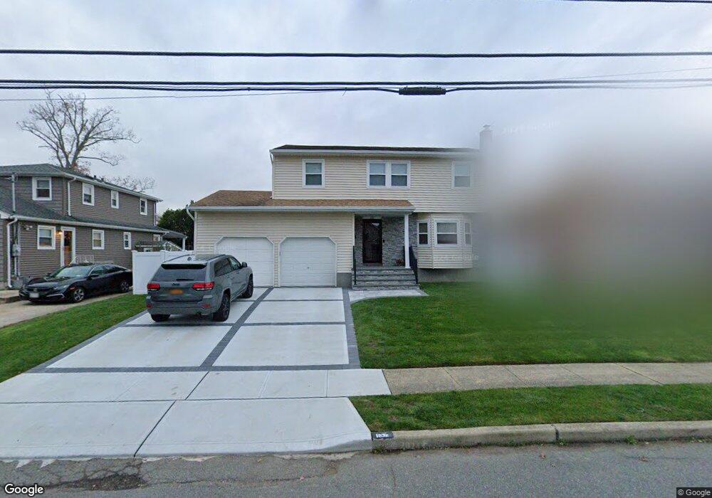
1832 Cornelius Ave Wantagh, NY 11793
Estimated Value: $950,163 - $1,002,000
4
Beds
3
Baths
1,920
Sq Ft
$508/Sq Ft
Est. Value
About This Home
This home is located at 1832 Cornelius Ave, Wantagh, NY 11793 and is currently estimated at $976,082, approximately $508 per square foot. 1832 Cornelius Ave is a home located in Nassau County with nearby schools including Wantagh Middle School, Wantagh Senior High School, and Maplewood School.
Ownership History
Date
Name
Owned For
Owner Type
Purchase Details
Closed on
Oct 5, 2018
Sold by
Gordon Trust
Bought by
Norcia Michelle and Bomparola Kenneth A
Current Estimated Value
Home Financials for this Owner
Home Financials are based on the most recent Mortgage that was taken out on this home.
Original Mortgage
$468,000
Outstanding Balance
$408,124
Interest Rate
4.5%
Mortgage Type
New Conventional
Estimated Equity
$567,958
Purchase Details
Closed on
Aug 30, 1999
Sold by
Gordon Harry W and Gordon Rosalind W
Bought by
Gordon Harry W and Gordon Rosalind W
Create a Home Valuation Report for This Property
The Home Valuation Report is an in-depth analysis detailing your home's value as well as a comparison with similar homes in the area
Home Values in the Area
Average Home Value in this Area
Purchase History
| Date | Buyer | Sale Price | Title Company |
|---|---|---|---|
| Norcia Michelle | $585,000 | Judicial Title | |
| Gordon Harry W | -- | -- |
Source: Public Records
Mortgage History
| Date | Status | Borrower | Loan Amount |
|---|---|---|---|
| Open | Norcia Michelle | $468,000 |
Source: Public Records
Tax History Compared to Growth
Tax History
| Year | Tax Paid | Tax Assessment Tax Assessment Total Assessment is a certain percentage of the fair market value that is determined by local assessors to be the total taxable value of land and additions on the property. | Land | Improvement |
|---|---|---|---|---|
| 2025 | $16,695 | $581 | $255 | $326 |
| 2024 | $3,808 | $571 | $251 | $320 |
| 2023 | $14,309 | $621 | $273 | $348 |
| 2022 | $14,309 | $621 | $273 | $348 |
| 2021 | $17,556 | $601 | $225 | $376 |
| 2020 | $10,471 | $655 | $533 | $122 |
| 2019 | $1,906 | $655 | $500 | $155 |
| 2018 | $1,920 | $698 | $0 | $0 |
| 2017 | $6,365 | $742 | $504 | $238 |
| 2016 | $8,340 | $785 | $462 | $323 |
| 2015 | $1,984 | $829 | $435 | $394 |
| 2014 | $1,984 | $829 | $435 | $394 |
| 2013 | $2,029 | $905 | $475 | $430 |
Source: Public Records
Map
Nearby Homes
- 2055 Hillside Ave
- 17 Hannington Ave
- 3015 Post Ave
- 3019 Post Ave
- 2806 Wilson Ave
- 1773 Roland Ave
- 615 Briggs St
- 2780 Natta Blvd
- 2728 Wilson Ave
- 1914 Bergen St
- 2693 Martin Ave
- 725 Clemons St
- 2800 Pacific St
- 8 Trezza Ct
- 118 Linden St
- 2768 Wallace Ave
- 402 Marle Place
- 2726 Clarendon Ave
- No# Clarendon Ave
- 2730 Court St
- 1840 Cornelius Ave
- 2980 Curtis Place
- 1816 Cornelius Ave
- 2974 Curtis Place
- 1850 Cornelius Ave
- 2977 Home St
- 2975 Home St
- 2975 Home St
- 2975 Home St
- 2966 Curtis Place
- 1831 Cornelius Ave
- 1808 Cornelius Ave
- 1825 Cornelius Ave
- 1835 Cornelius Ave
- 1841 Cornelius Ave
- 1817 Cornelius Ave
- 1851 Cornelius Ave
- 2969 Home St
- 2969 Home St
- 1864 Cornelius Ave