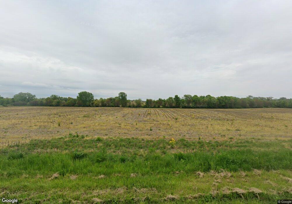
18320 Grant St Lowell, IN 46356
Cedar Creek NeighborhoodEstimated Value: $389,000 - $613,385
6
Beds
2
Baths
3,832
Sq Ft
$131/Sq Ft
Est. Value
About This Home
This home is located at 18320 Grant St, Lowell, IN 46356 and is currently estimated at $501,193, approximately $130 per square foot. 18320 Grant St is a home located in Lake County with nearby schools including Lowell Middle School and Lowell Senior High School.
Ownership History
Date
Name
Owned For
Owner Type
Purchase Details
Closed on
Mar 19, 2025
Sold by
Cynthia Ebert Living Trust and Ebert Cynthia
Bought by
Indiana Land Trust and Land Trust
Current Estimated Value
Purchase Details
Closed on
Feb 14, 2025
Sold by
Ebert Steven H and Ebert Cynthia A
Bought by
Cynthia Ebert Living Trust
Purchase Details
Closed on
May 17, 2005
Sold by
Ebert Steven H and Ebert Cynthia A
Bought by
Lake County Trust Co and Trust #4746
Create a Home Valuation Report for This Property
The Home Valuation Report is an in-depth analysis detailing your home's value as well as a comparison with similar homes in the area
Home Values in the Area
Average Home Value in this Area
Purchase History
| Date | Buyer | Sale Price | Title Company |
|---|---|---|---|
| Indiana Land Trust | -- | None Listed On Document | |
| Cynthia Ebert Living Trust | -- | None Listed On Document | |
| Lake County Trust Co | -- | Chicago Title Insurance Comp |
Source: Public Records
Tax History Compared to Growth
Tax History
| Year | Tax Paid | Tax Assessment Tax Assessment Total Assessment is a certain percentage of the fair market value that is determined by local assessors to be the total taxable value of land and additions on the property. | Land | Improvement |
|---|---|---|---|---|
| 2024 | $8,551 | $468,700 | $192,500 | $276,200 |
| 2023 | $4,580 | $442,300 | $163,800 | $278,500 |
| 2022 | $4,580 | $397,300 | $114,600 | $282,700 |
| 2021 | $3,835 | $344,300 | $109,700 | $234,600 |
| 2020 | $3,623 | $334,000 | $109,500 | $224,500 |
| 2019 | $3,694 | $320,000 | $116,000 | $204,000 |
| 2018 | $3,655 | $316,300 | $117,100 | $199,200 |
| 2017 | $3,754 | $302,200 | $122,600 | $179,600 |
| 2016 | $3,784 | $313,100 | $125,200 | $187,900 |
| 2014 | $3,945 | $327,900 | $127,300 | $200,600 |
| 2013 | $3,923 | $319,100 | $120,500 | $198,600 |
Source: Public Records
Map
Nearby Homes
- 18621 Lancer St
- 18624 Lancer St
- 18576 Lancer St
- 18644 Lancer St
- 18649 Lancer St
- 18632 Lancer St
- 18609 Lancer St
- 2104 W 181st Ave
- 2907 Approx 181st Ave
- 17615 Georgia St
- 17805 Hillside Dr
- 17793 Hillside Dr
- 17781 Hillside Dr
- Aspen Plan at Spring Run
- Broadmoor Plan at Spring Run
- Whitman Plan at Spring Run
- Starling Plan at Spring Run
- Brighton Plan at Spring Run
- Hawthorne Plan at Spring Run
- Davidson Plan at Spring Run
- 17910 Lincoln St
- 18052 Lincoln St Unit APPR
- 18053 Lincoln St
- 18053 Lincoln St
- 18002 Lincoln St
- 18002 Lincoln St Unit APPR
- 18003 Buchanan St
- 1425 W 179th Place
- 17997 Buchanan St
- 18004 Buchanan St
- 1555 W 179th Place
- 17975 Lincoln Ln
- 17984 Grant Place
- 17951 Lincoln Ct
- 17977 Buchanan St
- 1904 Belshaw Rd
- 17976 Buchanan St
- 17931 Lincoln Ct
- 17975 Buchanan St
- 17950 Lincoln Ct
