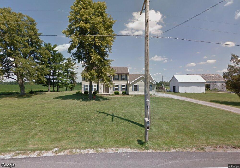
18325 State Route 81 Forest, OH 45843
Estimated Value: $181,000 - $425,000
3
Beds
3
Baths
2,532
Sq Ft
$135/Sq Ft
Est. Value
About This Home
This home is located at 18325 State Route 81, Forest, OH 45843 and is currently estimated at $342,125, approximately $135 per square foot. 18325 State Route 81 is a home located in Hardin County with nearby schools including Riverdale Middle School and Riverdale High School.
Ownership History
Date
Name
Owned For
Owner Type
Purchase Details
Closed on
Mar 7, 2006
Sold by
Logsdon Amy J and Tracy Amy J
Bought by
Davis Wesr Ly B and Davis Christine K
Current Estimated Value
Home Financials for this Owner
Home Financials are based on the most recent Mortgage that was taken out on this home.
Original Mortgage
$153,450
Outstanding Balance
$86,980
Interest Rate
6.22%
Mortgage Type
New Conventional
Estimated Equity
$255,145
Purchase Details
Closed on
Mar 20, 2001
Bought by
Logsdon Amy J
Purchase Details
Closed on
Dec 11, 1996
Bought by
Logsdon Scott R and Logsdon Amy J
Create a Home Valuation Report for This Property
The Home Valuation Report is an in-depth analysis detailing your home's value as well as a comparison with similar homes in the area
Purchase History
| Date | Buyer | Sale Price | Title Company |
|---|---|---|---|
| Davis Wesr Ly B | $170,500 | None Available | |
| Logsdon Amy J | -- | -- | |
| Logsdon Scott R | $80,000 | -- |
Source: Public Records
Mortgage History
| Date | Status | Borrower | Loan Amount |
|---|---|---|---|
| Open | Davis Wesr Ly B | $153,450 |
Source: Public Records
Tax History Compared to Growth
Tax History
| Year | Tax Paid | Tax Assessment Tax Assessment Total Assessment is a certain percentage of the fair market value that is determined by local assessors to be the total taxable value of land and additions on the property. | Land | Improvement |
|---|---|---|---|---|
| 2024 | $2,808 | $93,570 | $7,930 | $85,640 |
| 2023 | $2,813 | $93,570 | $7,930 | $85,640 |
| 2022 | $2,947 | $85,490 | $6,020 | $79,470 |
| 2021 | $3,208 | $85,490 | $6,020 | $79,470 |
| 2020 | $3,215 | $85,490 | $6,020 | $79,470 |
| 2019 | $2,718 | $73,840 | $5,810 | $68,030 |
| 2018 | $2,622 | $74,660 | $5,810 | $68,850 |
| 2017 | $2,569 | $74,660 | $5,810 | $68,850 |
| 2016 | $2,500 | $73,060 | $5,280 | $67,780 |
| 2015 | $2,407 | $73,060 | $5,280 | $67,780 |
| 2014 | $2,370 | $73,060 | $5,280 | $67,780 |
| 2013 | $2,375 | $73,060 | $5,280 | $67,780 |
Source: Public Records
Map
Nearby Homes
- 3065 County Road 205
- 0 S Davis St
- 18660 County Road 20
- 412 S Patterson St
- 0 S Patterson St
- 617 W Gage St
- 615 W Gage St
- 0 Cr 215 Unit 11594771
- 0 Cr 215 Unit 11594600
- 0 Cr 215 Unit 25370311
- 0 Cr 215 Unit 11598074
- 402 E Lima St
- 5091 County Road 175
- 16477 Township Road 64
- 0 Township Road 64
- 15418 Ohio 37
- 4771 County Road 159
- 21426 County Road 17
- 420 N Main St
- 1568 State Route 68
- 18272 State Route 81
- 359 W Main St
- 125 N Blanchard St
- 145 N Blanchard St
- 18538 State Route 81
- 165 N Blanchard St
- 203 N Blanchard St
- 185 N Blanchard St
- 326 N Blanchard St
- 217 N Blanchard St
- 255 W Washington St
- 255 N Blanchard St
- 246 W Main St
- 250 High St
- 269 High St
- 205 W Main St
- 249 High St
- 250 N Blanchard St
- 324 N Blanchard St
- 165 W Main St