1833 205th St Muscatine, IA 52761
Estimated Value: $242,000 - $428,000
--
Bed
--
Bath
2,068
Sq Ft
$156/Sq Ft
Est. Value
About This Home
This home is located at 1833 205th St, Muscatine, IA 52761 and is currently estimated at $322,852, approximately $156 per square foot. 1833 205th St is a home located in Muscatine County with nearby schools including McKinley Elementary School, Susan Clark Junior High School, and Muscatine High School.
Ownership History
Date
Name
Owned For
Owner Type
Purchase Details
Closed on
Dec 29, 2022
Sold by
Eagle Sheila K and Eagle Robert D
Bought by
Eagle Robert D and Eagle Cynthia L
Current Estimated Value
Purchase Details
Closed on
May 24, 2012
Sold by
Eagle Sheila K
Bought by
Eagle Robert D and Eagle Cynthia L
Create a Home Valuation Report for This Property
The Home Valuation Report is an in-depth analysis detailing your home's value as well as a comparison with similar homes in the area
Home Values in the Area
Average Home Value in this Area
Purchase History
| Date | Buyer | Sale Price | Title Company |
|---|---|---|---|
| Eagle Robert D | -- | -- | |
| Eagle Robert D | -- | None Available |
Source: Public Records
Tax History Compared to Growth
Tax History
| Year | Tax Paid | Tax Assessment Tax Assessment Total Assessment is a certain percentage of the fair market value that is determined by local assessors to be the total taxable value of land and additions on the property. | Land | Improvement |
|---|---|---|---|---|
| 2025 | $2,154 | $197,350 | $53,530 | $143,820 |
| 2024 | $2,154 | $187,300 | $47,580 | $139,720 |
| 2023 | $1,382 | $128,546 | $49,926 | $78,620 |
| 2022 | $1,306 | $109,240 | $47,100 | $62,140 |
| 2021 | $1,306 | $104,130 | $55,000 | $49,130 |
| 2020 | $1,130 | $87,880 | $50,000 | $37,880 |
| 2019 | $1,176 | $85,640 | $0 | $0 |
| 2018 | $892 | $68,630 | $0 | $0 |
| 2017 | $930 | $68,630 | $0 | $0 |
| 2016 | $1,076 | $68,630 | $0 | $0 |
| 2015 | $1,076 | $68,480 | $0 | $0 |
| 2014 | $1,084 | $71,340 | $0 | $0 |
Source: Public Records
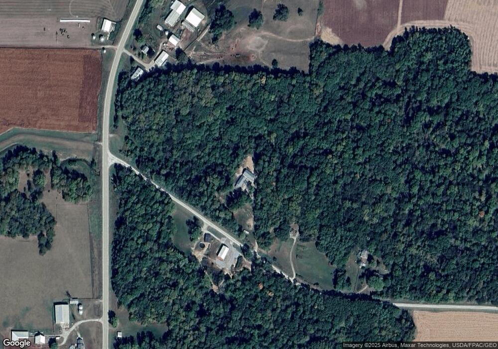
Map
Nearby Homes
- 0 Iron City Ave
- 1824 Keokuk Ave
- 2207 231st St
- 1679 160th St
- LOT 4 Fridley Subdivision
- 2461 Bobwhite Dr
- 3103 Ginkgo Ln
- 3120 Linden Ln
- 1507 Duncan Dr
- LOT 6 Fridley Subdivision
- 1604 Duncan Dr
- 1416 Duncan Dr
- 1410 Duncan Dr
- 3010 W Fulliam Ave
- 0 Grandview Ave Parcels Unit 25-533
- CEDAR Plaza Parcel
- 5407 Reynolds Ave
- 1839 205th St
- 1824 205th St
- 1847 205th St
- 2021 Independence Ave
- 2055 Independence Ave
- 2052 Independence Ave
- 2009 Independence Ave
- 2079 Independence Ave
- 1995 Independence Ave
- 1987 Independence Ave
- 1878 205th St
- 1974 Independence Ave
- 2020 Jasper Ave
- 1870 Highway 22
- 1872 Highway 22
- 2028 Jasper Ave
- 1830 Highway 22
- 1880 Highway 22
- 2025 Jasper Ave
- 2043 Jasper Ave