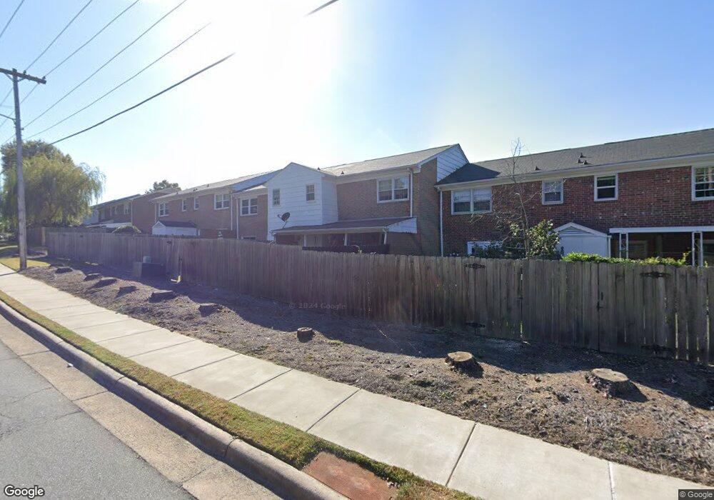
1833 Johnson St Unit B High Point, NC 27262
Greater High Point NeighborhoodEstimated Value: $130,234 - $163,000
2
Beds
2
Baths
1,104
Sq Ft
$131/Sq Ft
Est. Value
About This Home
This home is located at 1833 Johnson St Unit B, High Point, NC 27262 and is currently estimated at $144,809, approximately $131 per square foot. 1833 Johnson St Unit B is a home located in Guilford County with nearby schools including Johnson Street Global Studies, Welborn Academy of Science & Technology, and High Point Central High School.
Ownership History
Date
Name
Owned For
Owner Type
Purchase Details
Closed on
Dec 19, 2006
Sold by
Tmk Properties Llc
Bought by
Omg Properties Llc
Current Estimated Value
Purchase Details
Closed on
Mar 24, 2004
Sold by
Glenn Edward C and Glenn Linda J
Bought by
Tmk Properties Llc
Home Financials for this Owner
Home Financials are based on the most recent Mortgage that was taken out on this home.
Original Mortgage
$60,300
Interest Rate
5.62%
Mortgage Type
Purchase Money Mortgage
Create a Home Valuation Report for This Property
The Home Valuation Report is an in-depth analysis detailing your home's value as well as a comparison with similar homes in the area
Home Values in the Area
Average Home Value in this Area
Purchase History
| Date | Buyer | Sale Price | Title Company |
|---|---|---|---|
| Omg Properties Llc | -- | None Available | |
| Tmk Properties Llc | -- | -- |
Source: Public Records
Mortgage History
| Date | Status | Borrower | Loan Amount |
|---|---|---|---|
| Previous Owner | Tmk Properties Llc | $60,300 |
Source: Public Records
Tax History
| Year | Tax Paid | Tax Assessment Tax Assessment Total Assessment is a certain percentage of the fair market value that is determined by local assessors to be the total taxable value of land and additions on the property. | Land | Improvement |
|---|---|---|---|---|
| 2025 | $1,017 | $73,800 | $16,000 | $57,800 |
| 2024 | $1,017 | $73,800 | $16,000 | $57,800 |
| 2023 | $1,017 | $73,800 | $16,000 | $57,800 |
| 2022 | $995 | $73,800 | $16,000 | $57,800 |
| 2021 | $642 | $46,600 | $9,000 | $37,600 |
| 2020 | $642 | $46,600 | $9,000 | $37,600 |
| 2019 | $642 | $46,600 | $0 | $0 |
| 2018 | $639 | $46,600 | $0 | $0 |
| 2017 | $639 | $46,600 | $0 | $0 |
| 2016 | $878 | $62,600 | $0 | $0 |
| 2015 | $883 | $62,600 | $0 | $0 |
| 2014 | $898 | $62,600 | $0 | $0 |
Source: Public Records
Map
Nearby Homes
- 1825 Johnson St Unit B
- 1740 N Hamilton St Unit H
- 1740 N Hamilton St Unit G
- 1700 N Hamilton St Unit F
- 1714 N Hamilton St Unit B
- 1602 Larkin St
- 242 Northpoint Ave Unit C
- 1507 Larkin St
- 1433 Larkin St
- 1518 Johnson St
- 204 Northpoint Ave Unit C
- 1428 Futrelle Dr
- 613 Woodridge Ln
- 207 Northpoint Ave Unit H
- 435 Chester Woods Ct
- 1607 Bridges Dr
- 1700 Long St
- 1129 Bridges Dr
- 1310 Madison St
- 417 Moffitt Dr
- 1833 Johnson St Unit A
- 1833 Johnson St Unit C
- 1833 Johnson St Unit D
- 1833 Johnson St Unit 1833E
- 1833 Johnson St Unit F
- 1833 Johnson St Unit E
- 1833 Johnson St
- 1829 Johnson St Unit A
- 1829 Johnson St Unit B
- 1829 Johnson St Unit C
- 1829 Johnson St Unit D
- 1829 Johnson St
- 1829 Johnson St Unit F
- 1829 Johnson St Unit A
- 1829 Johnson St Unit E
- 1740 N Hamilton St Unit D
- 1740 N Hamilton St Unit C
- 1740 N Hamilton St Unit B
- 1740 N Hamilton St Unit A
- 1740 N Hamilton St Unit E
Your Personal Tour Guide
Ask me questions while you tour the home.