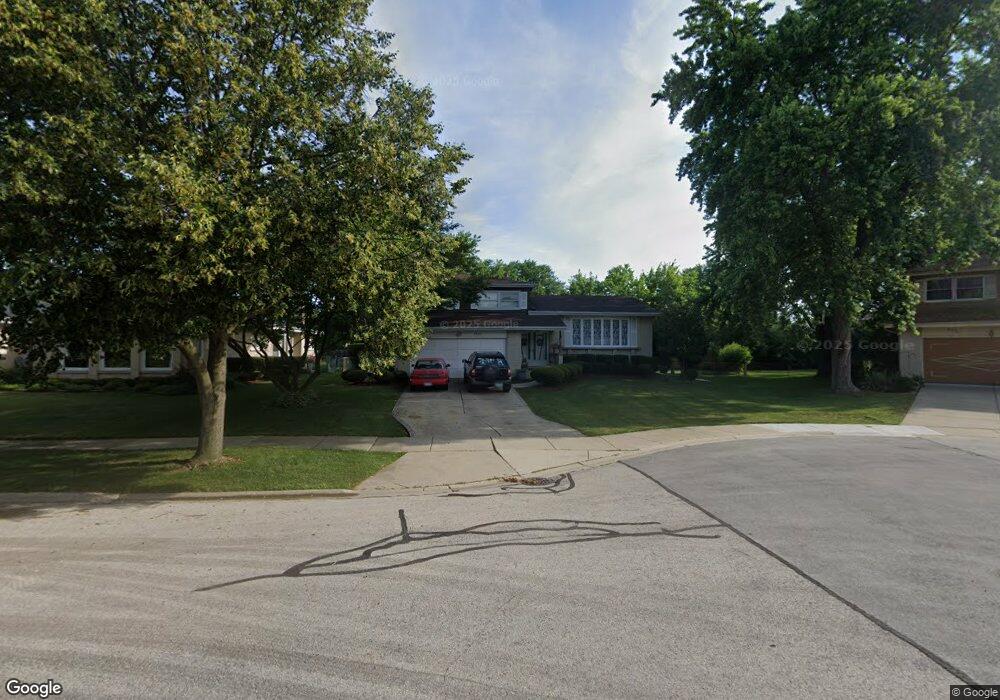
1833 N Rolling Ln Arlington Heights, IL 60004
Estimated Value: $489,315 - $556,000
4
Beds
2
Baths
1,797
Sq Ft
$292/Sq Ft
Est. Value
About This Home
This home is located at 1833 N Rolling Ln, Arlington Heights, IL 60004 and is currently estimated at $523,829, approximately $291 per square foot. 1833 N Rolling Ln is a home located in Cook County with nearby schools including Dwight D Eisenhower Elementary School, Anne Sullivan Elementary School, and Betsy Ross Elementary School.
Ownership History
Date
Name
Owned For
Owner Type
Purchase Details
Closed on
Dec 11, 1995
Sold by
Vitek Valarian R
Bought by
Choinski Jerzy and Choinski Barbara
Current Estimated Value
Home Financials for this Owner
Home Financials are based on the most recent Mortgage that was taken out on this home.
Original Mortgage
$100,000
Interest Rate
7.43%
Purchase Details
Closed on
Mar 10, 1995
Sold by
Vitek Valarian R
Bought by
Vitek Valarian R and Valarian R Vitek Revocable Trust
Create a Home Valuation Report for This Property
The Home Valuation Report is an in-depth analysis detailing your home's value as well as a comparison with similar homes in the area
Purchase History
| Date | Buyer | Sale Price | Title Company |
|---|---|---|---|
| Choinski Jerzy | $187,000 | Republic Title Company | |
| Vitek Valarian R | -- | -- |
Source: Public Records
Mortgage History
| Date | Status | Borrower | Loan Amount |
|---|---|---|---|
| Closed | Choinski Jerzy | $100,000 |
Source: Public Records
Tax History
| Year | Tax Paid | Tax Assessment Tax Assessment Total Assessment is a certain percentage of the fair market value that is determined by local assessors to be the total taxable value of land and additions on the property. | Land | Improvement |
|---|---|---|---|---|
| 2025 | $5,880 | $43,000 | $11,520 | $31,480 |
| 2024 | $5,880 | $35,000 | $10,560 | $24,440 |
| 2023 | $5,792 | $35,000 | $10,560 | $24,440 |
| 2022 | $5,792 | $35,000 | $10,560 | $24,440 |
| 2021 | $6,568 | $32,203 | $6,000 | $26,203 |
| 2020 | $5,956 | $32,203 | $6,000 | $26,203 |
| 2019 | $5,885 | $35,901 | $6,000 | $29,901 |
| 2018 | $8,380 | $35,650 | $5,280 | $30,370 |
| 2017 | $6,310 | $35,650 | $5,280 | $30,370 |
| 2016 | $6,787 | $35,650 | $5,280 | $30,370 |
| 2015 | $8,451 | $31,061 | $4,560 | $26,501 |
| 2014 | $8,357 | $31,061 | $4,560 | $26,501 |
| 2013 | $8,151 | $31,061 | $4,560 | $26,501 |
Source: Public Records
Map
Nearby Homes
- 1831 N Rolling Ln
- 2454 E Hunter Dr Unit 93
- 2207 E Michael Manor Ln
- 2005 N Woodland Ln
- 2007 E Robinhood Ln
- 2014 N Stillwater Rd Unit 108
- 2019 E Avon Ln
- 2012 N Silver Lake Rd Unit 105
- 307 Anne Ct
- 1636 E Jonquil Terrace
- 1525 N Kendal Ct Unit 51525
- 1619 N Windsor Dr Unit 310
- 2013 N Windsor Dr
- 1424 E Jonquil Cir
- 1554 N Windsor Dr
- 2515 E Olive St Unit 1C
- 2515 E Olive St Unit 4H
- 802 Andover Ct
- 13 W Kenilworth Ave
- 2126 E Waverly Ln
- 2414 E Michael Manor Ln
- 2410 E Michael Manor Ln
- 1829 N Rolling Ln
- 2415 E Michael Manor Ln
- 2503 E Hunter Dr Unit 71
- 1834 N Dale Ave
- 2406 E Michael Manor Ln
- 1827 N Rolling Ln
- 2505 E Hunter Dr Unit 73
- 2411 E Michael Manor Ln
- 2501 E Hunter Dr Unit 72
- 2507 E Hunter Dr Unit 74
- 1826 N Dale Ave
- 1934 N Charter Point Dr Unit 28
- 2407 E Michael Manor Ln
- 2453 E Hunter Dr Unit 81
- 1823 N Rolling Ln
- 2402 E Michael Manor Ln
- 2451 E Hunter Dr Unit 82
- 1932 N Charter Point Dr Unit 28
Your Personal Tour Guide
Ask me questions while you tour the home.