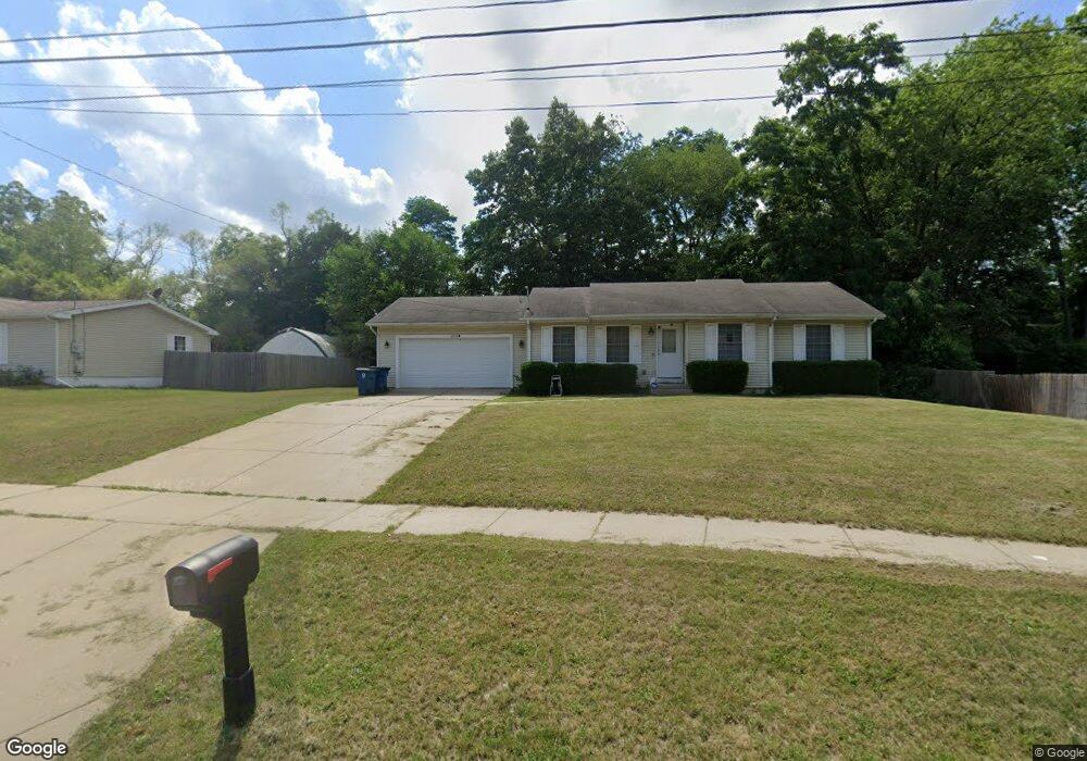
1833 Sunnyside Dr Kalamazoo, MI 49048
Estimated Value: $244,000 - $294,605
3
Beds
2
Baths
1,146
Sq Ft
$225/Sq Ft
Est. Value
About This Home
This home is located at 1833 Sunnyside Dr, Kalamazoo, MI 49048 and is currently estimated at $258,151, approximately $225 per square foot. 1833 Sunnyside Dr is a home located in Kalamazoo County with nearby schools including Comstock Elementary School, Comstock Middle School, and Comstock High School.
Ownership History
Date
Name
Owned For
Owner Type
Purchase Details
Closed on
Jun 30, 2005
Sold by
Lewis F Roberts Inc
Bought by
Lamar Diane M
Current Estimated Value
Home Financials for this Owner
Home Financials are based on the most recent Mortgage that was taken out on this home.
Original Mortgage
$139,894
Outstanding Balance
$73,168
Interest Rate
5.69%
Mortgage Type
Purchase Money Mortgage
Estimated Equity
$184,983
Purchase Details
Closed on
Feb 17, 2005
Sold by
Reyes Norberto and Reyes Estella
Bought by
Lewis F Roberts Inc
Create a Home Valuation Report for This Property
The Home Valuation Report is an in-depth analysis detailing your home's value as well as a comparison with similar homes in the area
Home Values in the Area
Average Home Value in this Area
Purchase History
| Date | Buyer | Sale Price | Title Company |
|---|---|---|---|
| Lamar Diane M | $141,000 | Trans | |
| Lewis F Roberts Inc | $20,000 | Chicago Title | |
| Reyes Norberto | $16,500 | Chicago Title |
Source: Public Records
Mortgage History
| Date | Status | Borrower | Loan Amount |
|---|---|---|---|
| Open | Lamar Diane M | $139,894 |
Source: Public Records
Tax History Compared to Growth
Tax History
| Year | Tax Paid | Tax Assessment Tax Assessment Total Assessment is a certain percentage of the fair market value that is determined by local assessors to be the total taxable value of land and additions on the property. | Land | Improvement |
|---|---|---|---|---|
| 2025 | $3,762 | $153,600 | $0 | $0 |
| 2024 | $1,714 | $141,600 | $0 | $0 |
| 2023 | $1,634 | $121,700 | $0 | $0 |
| 2022 | $3,415 | $98,200 | $0 | $0 |
| 2021 | $3,167 | $90,200 | $0 | $0 |
| 2020 | $3,118 | $76,100 | $0 | $0 |
| 2019 | $2,977 | $68,800 | $0 | $0 |
| 2018 | $2,845 | $63,600 | $0 | $0 |
| 2017 | $0 | $63,600 | $0 | $0 |
| 2016 | -- | $60,600 | $0 | $0 |
| 2015 | -- | $57,900 | $0 | $0 |
| 2014 | -- | $56,200 | $0 | $0 |
Source: Public Records
Map
Nearby Homes
- 2820 Asbury Ave
- 1512 Upland Dr
- 3221 Miami Ave
- 1513 Baker Dr
- 1509 Baker Dr
- 1415 Upland Dr
- 1312 Sunnyside Dr
- 2535 Gull Rd
- 1242 Nassau St
- 2215 Brook Dr
- 1219 Upland Dr
- 3011 E Main St
- 1934 Nazareth Rd
- 1030 Dwillard Dr
- 2105 Gull Rd
- 1320 Nazareth Rd
- 925 Dayton Ave
- 1013 Chrysler St
- 1008 Cooper Ave
- 905 Cooper Ave
- 1815 Sunnyside Dr
- 2912 Asbury Ave
- 2902 Asbury Ave
- 2825 Texel Dr
- 1809 Sunnyside Dr
- 1812 Texel Dr
- 1907 Sunnyside Dr
- 2830 Asbury Ave
- 0 Sunnyside Dr
- 1916 Sunnyside Dr
- 1910 Sunnyside Dr Unit 19101916
- 1803 Sunnyside Dr
- 1925 Sunnyside Dr
- 17271729 Sunnyside Dr
- 55 Sunnyside Dr
- 53 Sunnyside Dr
- 54 Sunnyside Dr
- 2817 Texel Dr
- 2901 Asbury Ave
- 1802 Texel Dr